Day 29: Endangered Frog Detour
Date: Wed 5/16
PCT Start Mile: 383.9
PCT End Mile: 404.0
PCT Mileage for Day: 20.1
Total PCT Mileage: 404.0
The Highlights: endangered frog reroute, 400 mile mark, and post cards

Despite sleeping pretty well last night, I was exhausted when it was time to get up. So I didn’t. I snuggled deeper into my sleeping bag. By the time we packed up and headed out for the day, it was 7:20am, kind of late for us.
We spent the day in a pattern of criss-crossing Highway 2. This began as a series of descents to the highway, followed by climbs up and away from it, and by afternoon this pattern would flip and we would climb up to the highway and then descend away from it. Riveting stuff, I know.

The day started with an easy couple of miles to the highway, a descent, if you paid attention above… followed by the most difficult of the climbs of the day, a steep two mile climb up Mount Williamson. The PCT doesn’t go all the way to the summit and, unlike Mt Baden-Powell yesterday, no one veers off trail to bag this peak. I was happy to stay on trail to begin our next descent … to the highway.

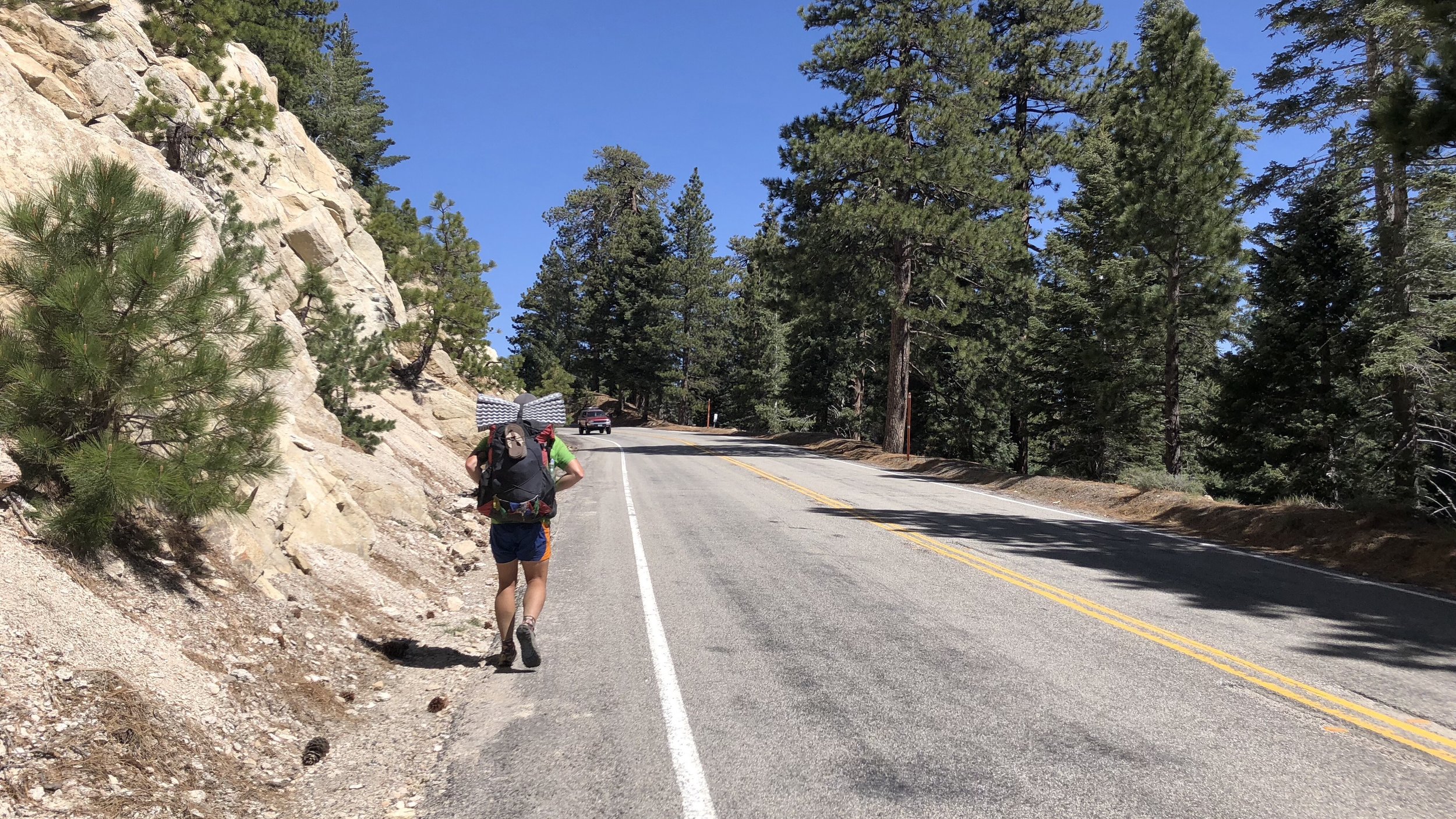
At mile 390.2, we had a bit of a detour. A four mile section of the PCT has been closed for many years now due to the endangered Mountain Yellow Frogs that live in the area. The alternate/detour around this area included a 2.7 mile road walk to Buckhorn Campground, followed by a 2 mile stretch of the Buckhart Trail, which reconnected us with the PCT.
Road walking is not that exciting, but we did see a canary yellow Lotus speeding through the mountainsides, much to the annoyance of a roadwork crew that had their “go slow” signs out and honked at the driver to slow down. Most people took advantage of the walk through the Buckhorn Campground as a nice stop for an early lunch. We did the same.
After lunch, we took the Buckhart Trail until it reconnected with the PCT. Somewhere along this stretch, I practiced my stream crossing rock jumping.

Back on the PCT, Shawn was feeling an after-lunch boost. I typically feel the opposite after lunch. He went on ahead and we planned to meet at the highway in 3 miles.
About a mile and a half from the highway, I decided to listen to some tunes… the first time I’ve done this while hiking. Back in Wrightwood, Vice had shared one of her Spotify playlists with me. It was mostly folksy and bluegrass stuff, perfect for the mountains.
Listening to the tunes as I walked down the trail, in the sunshine, surrounded by tall pines and wildflowers, I felt like I belonged in one of those pharmaceutical commercials. All healthy and happy while the disclaimers played in the background. [Insert drug] may cause nausea, dizziness, vomiting, and in rare cases, death. Big dopey smile on my face, watching well timed bird fly by. Do not take this drug if you are allergic to this drug. Breathes in mountain air. Ask your doctor if [drug] is right for you.

The bluegrass powered me up the last big climb to the highway, where Shawn was resting and chatting with some other hikers. I joined them for a short break. An older gentleman with long blonde-white hair and a long matching beard introduced himself as Old Timer. “Not sure where I got that name,” he joked.
Crossing the highway, it was only two miles to the 400 mile mark. We passed most of this time chatting with a couple day hikers from the Los Angeles area. When we finally reached the 400 mile mark, they snapped some pics for us and continued on their way.

Less than a mile down the trail, we made a stop at Camp Glenwood, which had a water spicket where we could fill up. The water had a nice green tint to it. Yummy. We filtered.
The camp also had PCT postcards out that you could write and leave, complimentary postage. How nice! We filled some out for family. Not sure how often they check the box, but hopefully they will be mailed eventually!

The last three miles of our hike were nice, mostly easy gentle miles along a flat ridge. We found a small tent site at mile 404, which I was happy about because the next marked sites were at a campground that was another 2.6 miles down the trail and I was ready to be done.
We set up the tent, cooked and ate dinner, I did a little stretching, and we were into the tent by 7pm, much better than last night when we didn’t even arrive to our campsite until after 7pm.
Tonight’s site is only slightly slanted. We’ll see how it goes.