Day 30: A Marathon Day
Date: Thu 5/17
PCT Start Mile: 404.0
PCT End Mile: 430.4
PCT Mileage for Day: 26.4
Total PCT Mileage: 430.4
The Highlights: water source straw, great views, and more hiking than planned…

Today was our highest mileage yet. This wasn’t the intention when we started out, but… best laid plans…

The day started with the normal routine we’ve settled into. Basically, I like about 45 minutes to get up and get myself packed up, and Shawn takes only about 15 minutes. I do things like… change clothes. While Shawn just hikes, sleeps, and lives in his hiking clothes while we are out on the trail between town/laundry stops, I actually have a set of sleep clothes – my thermals – that I change into every night. I like that this keeps me and my sleeping bag feeling cleaner, and Shawn likes the convenience of never removing his clothes. To each his own. I also just take longer to pack my -ish in general. I don’t know why.
Anyway, Shawn sleeps an extra 30 minutes until me and my stuffs have vacated the tent. Then he packs his stuff up… all in the time it takes me to brush my teeth. Then we take the tent down. I stretch a bit while he finishes his packing and brushes his teeth, and we are off. We don’t do a cooked breakfast, as we prefer to just get on the trail. The only meal of the day that we actually cook is dinner.

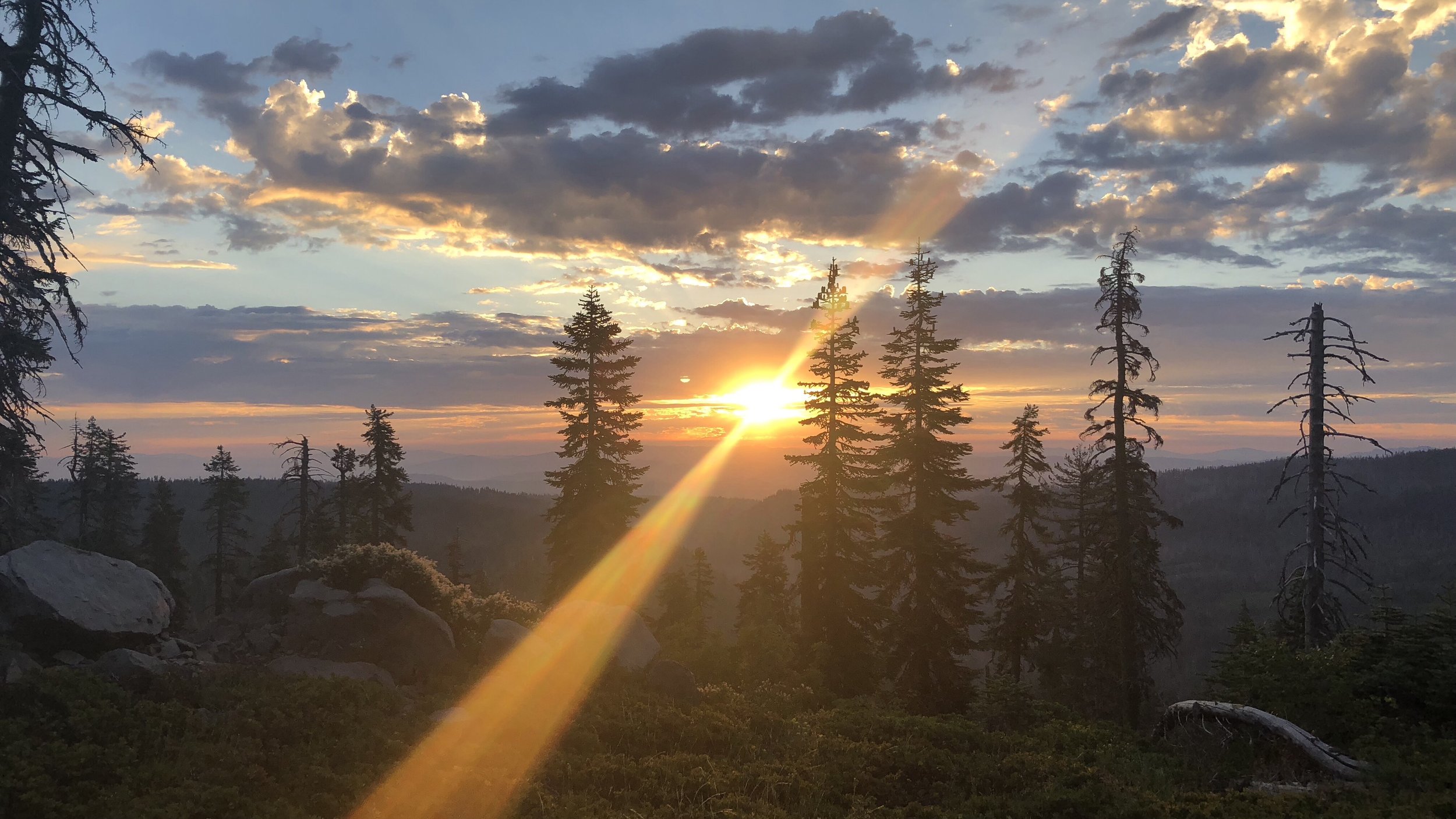
Anyway, this morning it was about 6:45am when we hit the trail. The morning hike was mostly nice and easy, with even the uphill sections at easy grades with nice switchbacks. Last night we had re-entered desert territory – i.e. snake territory – and I was on the lookout. Luckily not a single sighting all day.
We hiked seven miles to the first water source for our first break. A small spring, someone had rigged up a thick plastic straw, which made filling water much easier.

Close-up on the straw:

Desert mystery: there is a desert animal that insists on shitting on all the rocks. Anyone know what it is?

Following our break there was a bit of a climb and then easy ridge hiking. We hiked another 7.5 miles before stopping for lunch at the next water source, which was a pump at a fire station.
We ate at a picnic table here with a few others, including two from Germany and another from Belgium. After the U.S., I’d say Germany is the second highest represented nationality on the trail.
Since we’d already hiked 14.5 miles and only planned to go about 20, we took our time with our lunch break, in no huge hurry since there was plenty of time to get six more miles in. It was after 2:30pm when we were hiking steadily again.

With the next water source 18 miles away, at the fire station we packed out 4 liters of water each. There is some unwritten trail rule … or phenomena … that when you have a long water carry, leaving the water source with your heaviest water weight, you will immediately have a long uphill. Today did not disappoint. The trail weaved up into the desert mountains, the sand thick like beach sand. One step forward, two steps back…
Once this climb topped out, the trail mellowed out, with easy rollers and flat-ish trail along the mountainsides. It was before 5pm when we hit 20 miles and I was excited for an early day. Unfortunately the day had more in store.

A giant version of the Charlie Brown Christmas tree.
On the PCT, most people use a trail app called Guthooks. In addition to being an offline GPS navigation app, it also includes helpful info like what mile you are at, updated comments about water sources (like whether they are dry or flowing), and potential tent sites, including how many tents might fit.
While many tent sites are marked in the app, there are also plenty that aren’t. Just last night we’d stayed at a site that wasn’t marked in the app. So, when we passed up a sub-par site a bit after we’d hiked our 20 miles for the day, we were fairly confident we’d be able to find something else in the next couple miles. We were wrong. Wrong, wrong, wrong.

The trail continued as a narrow path along the mountain and dipped briefly into a densely forested gully before weaving higher into the mountains once again, a thin dirt line along the mountainside, no room for anything but ourselves, the trail, and the slope. I was kicking myself that we hadn’t camped at the site back just after mile 424. The next marked site was an actual small campground at mile 430.4. It turned out that this was, indeed, the first camping opportunity.

Finally arriving after 7:30pm, the Messenger Flats Campground had several other hikers. Because the trail along this section was in a burn area that was only recently reopened for use, the campground was still closed for general public use, but PCT hikers were able to use it. Finally, after over 26 miles – our longest day yet – we could camp.
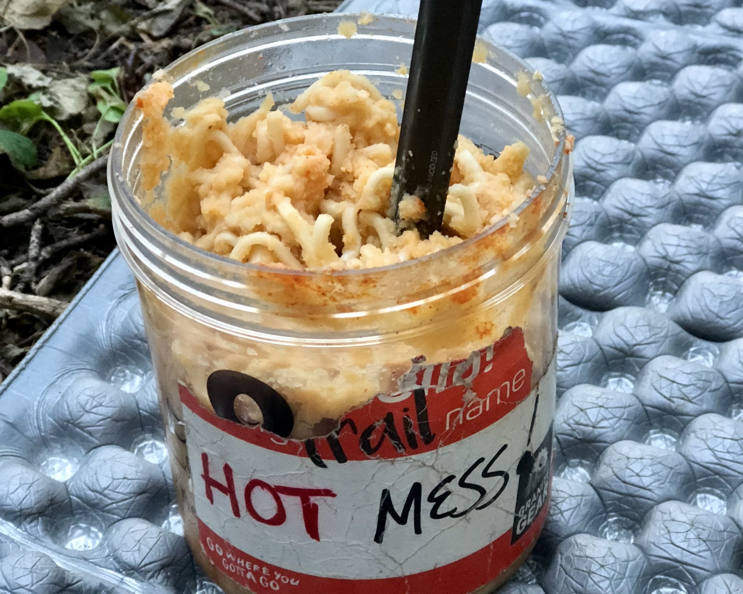
Shawn gets the husband of the year award for setting up our tent while I hurried into warmer clothes in the quickly chilling night, and we were both able to cook and eat our dinners in the last dying light of the day. Side note: Stovetop Stuffing not a winner for me.
The temps dropped quickly with the sun and we are both snug in our sleeping bags, the entire campsite silent. One thing you can count on with a campsite full of thru-hikers: complete silence after dark. Everyone exhausted.