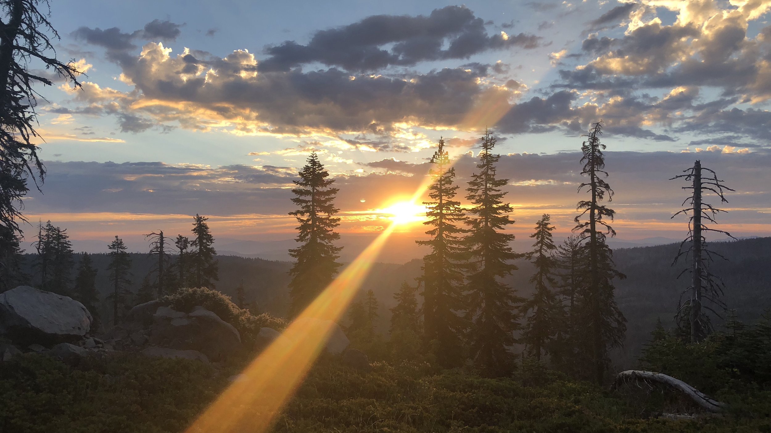
Day 79: Rocks, Rocks, Rocks
Date: Thu 7/5
PCT Start Mile: 1090.0
PCT End Mile: 1110.7
PCT Mileage for Day: 20.7
Total PCT Mileage: 1110.7
The Highlights: Echo Lake, Desolation Wilderness, Aloha Lake, 1100 mile marker, lots of lakes, and lots and lots of rocks

After breakfast at a cafe up the street from our hotel, we were on the prowl for scooters once again. This time to take them to the edge of town, where we could then hitch back to the Echo Summit Trailhead.
We picked up scooters across the street at the grocery store and, this plan would have been epic, though Shawn’s scooter maxed out at 10mph, so we made our way out of town a little slower than we would have liked.
Wearing full packs on the scooters is also not that comfortable and I was regretting this decision, especially when I remembered another hiker mentioning that there was a bus we could have taken to the outskirts of town. Oh well. I had scooter credits to use up, after all.
We slowly scootered our way down a side road that eventually linked back up with Highway 50. I felt a bit like Harry and Lloyd on Dumb and Dumber… different kind of scooter, but same idea.
After about 50 minutes on the scooters, we linked back up with highway 50, where we parked the scooters at a gas station and walked up the road a ways to hitch.
By the time our thumbs were up, we only had about 4.7 miles to the trailhead, and – despite many hikers having trouble with hitches back to the trail from SLT, we were lucky enough to have a guy pull over in less than 5 minutes.
He was from Nevada and on his way to Sacramento. We asked him how long that drive was and he said it depended on how much he cared about the CHP (California Highway Patrol). About two hours if he cares. Maybe an hour thirty to an hour forty if he didn’t. Apparently he had a whole stack of unpaid CHP tickets. He said, “they don’t come looking for you in Nevada, but I guess one day maybe they’ll pull me over and throw me in jail for all the unpaid tickets.”
When he dropped us back at the trail, we thanked him and wished him a speedy but ticket-free journey to Sacramento.

The PCT and Tahoe Rim Trail merge for several miles along this stretch.
Back on the trail, it was around 10:20am when we got started hiking. We had only two miles to the Echo Lake Chalet. This was an easy hike and we were in a parking lot full of day hikers and vacationers in no time. Despite the fact that we had been back on the trail for less than an hour, we made a quick stop anyway, drinking a soda before continuing on.
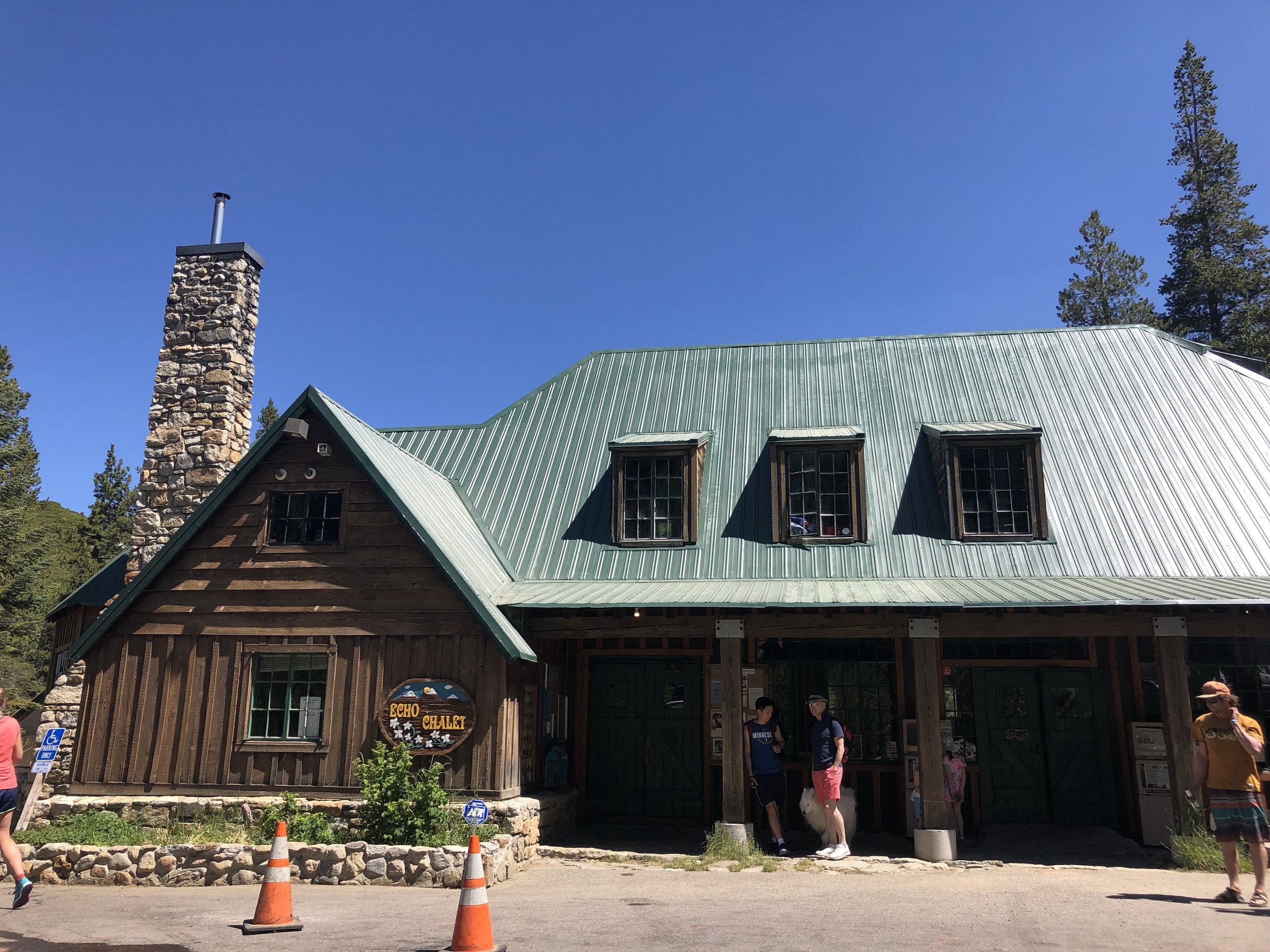
Echo Lake Chalet.
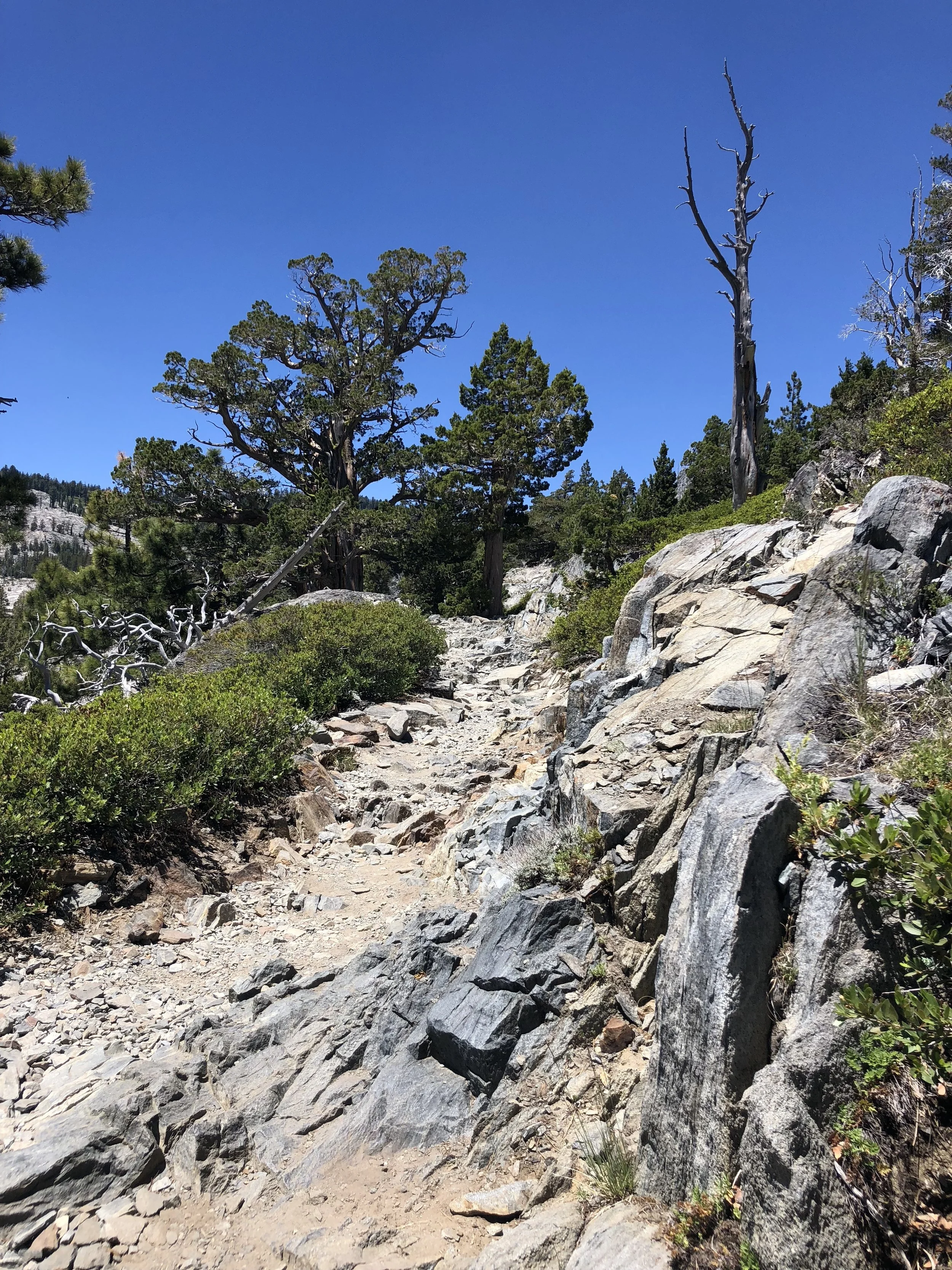
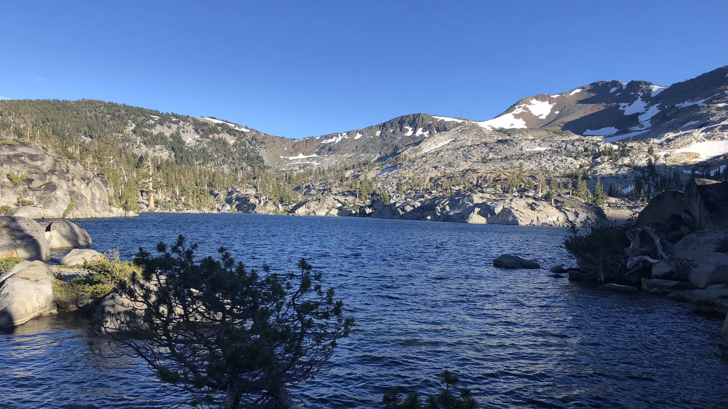
The trail climbed up above Echo Lake, following above its northern side. While the trail started very smooth and well maintained for day hikers, it soon turned into lots and lots of rocks.
In fact most of the rest of the day would be along very rocky trails of scree and boulders. Rocky trails leading us along lakesides. Rocks and lakes would be how I would sum up this day.
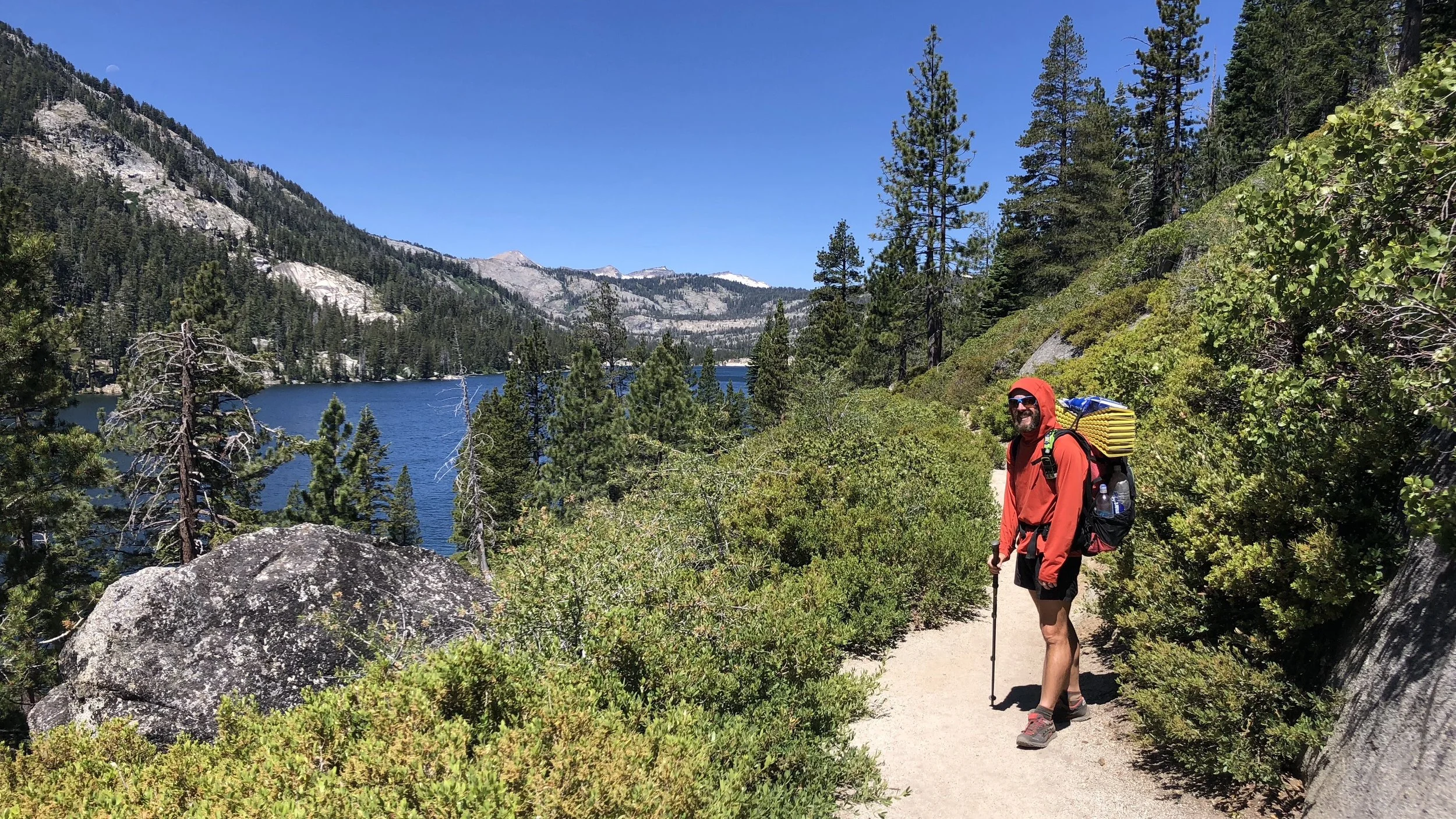
Shawn along Echo Lake, before the trail turned into the rocky mess shown below.
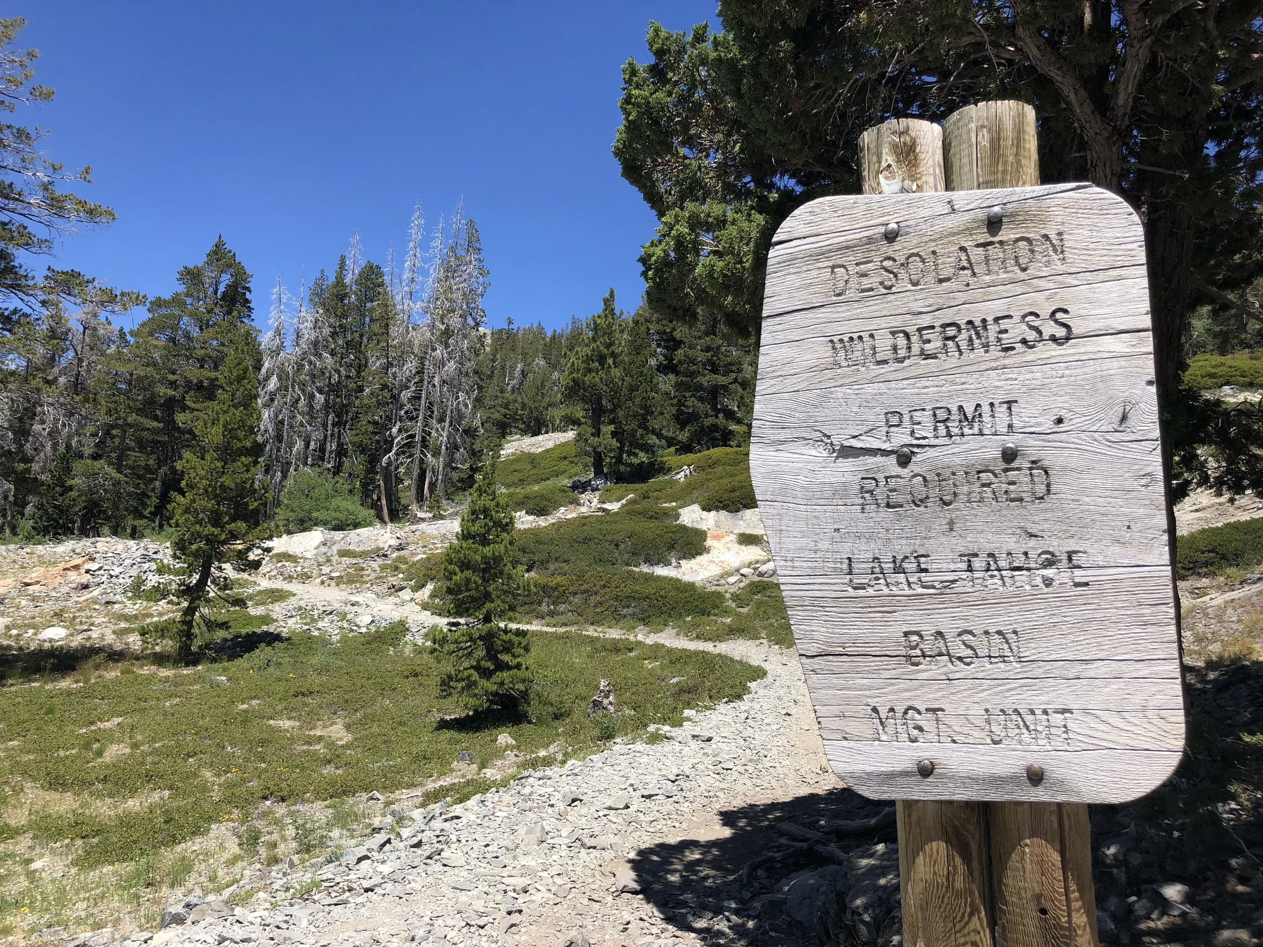
Hiking north of Echo Lake, we eventually entered Desolation Wilderness. We had heard good things about this area, though so far it was not quite as desolate as we would have liked it to be, with lots of day hikers along the trail.
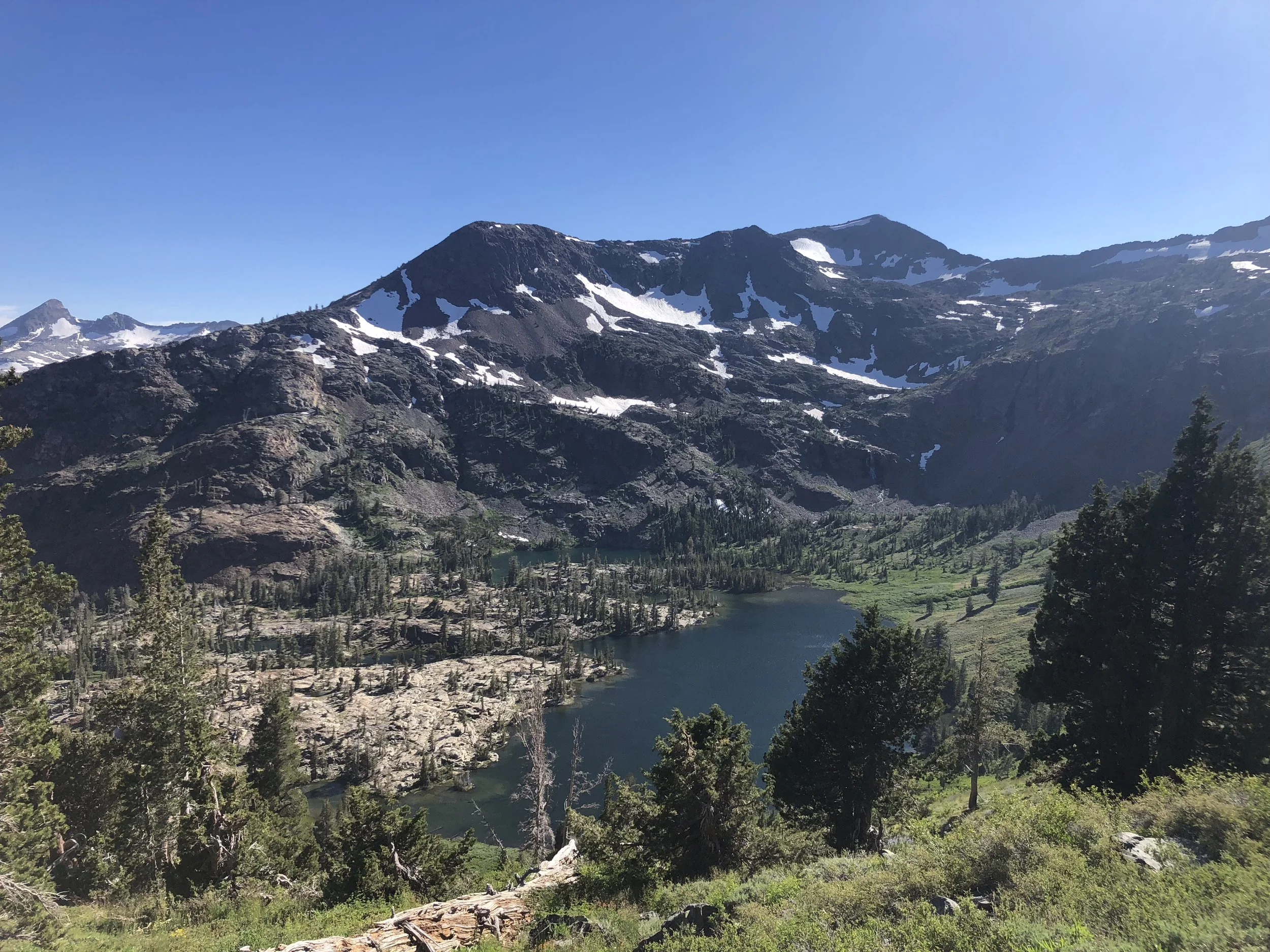
Our next major Lake after Echo Lake was Aloha Lake, a beautiful alpine lake with a backdrop of snow covered peaks. The lake was popular with day hikers, overnight campers, and thru-hikers. We took our lunch break here, enjoying the views before we continued on.
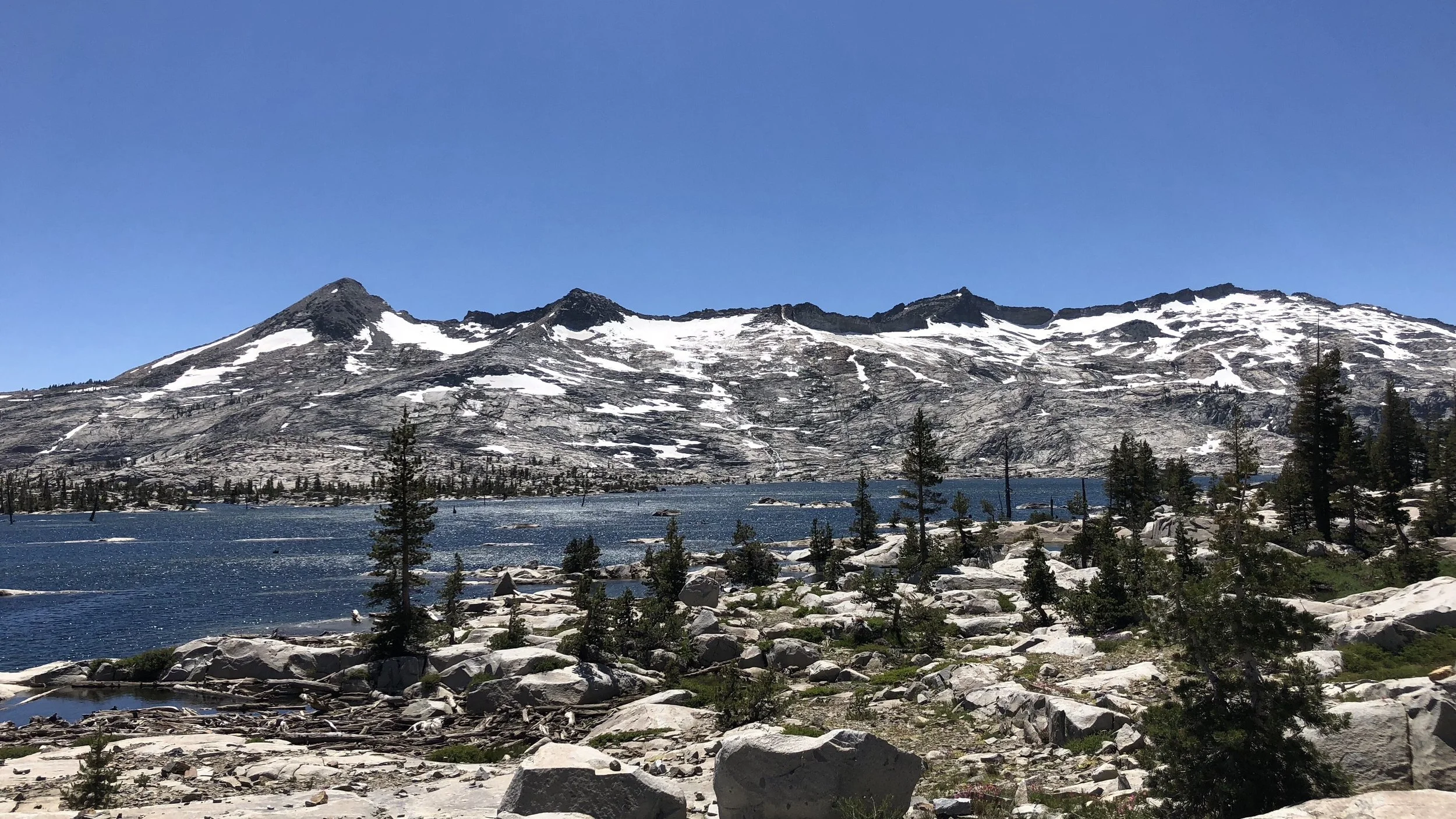
Aloha Lake.
Only another mile and half down the trail, we passed another 100 mile marker. 1100. Getting closer to halfway!

The rest of the day, as mentioned before, can be summed up by rocks and lakes. We also had a 3.6 mile climb to Dick’s Pass. The climb, still a very rocky trail, had beautiful views.
Shawn made it to the top of the pass 10-15 minutes before me, where he ran into Rainmaker, who we had last seen at Reds Meadow. He was hiking out the day we had arrived. Apparently he had just taken a week off in Sacramento. With some snow at the top of the pass, he made a “snow cone” for Shawn with his Mio, flavored liquid electrolyte drops – berry pomegranate flavored. Apparently it was pretty good, but I was too late for the treat. He had left by the time I’d arrived at the top.
We ran into him a bit later down the trail and he promised to make me one if he ran into more snow when I was around. Deal. As it was, he was having a very painful hike since, having spent a week at sea level, his feet had swelled.
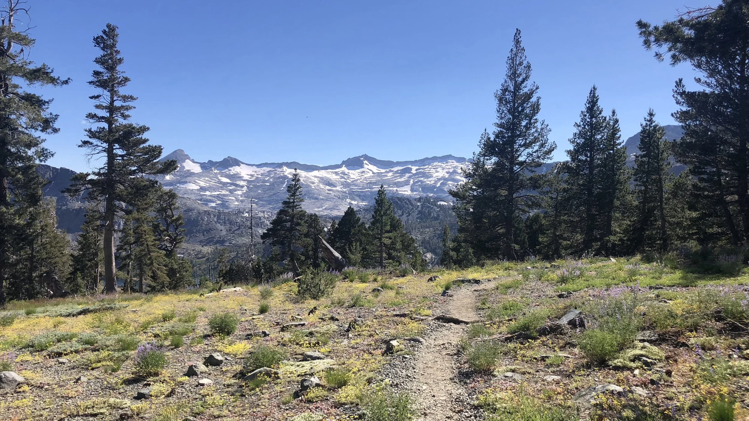
Climb to Dick’s Pass
Hiking on, over more rocky trail, and by more beautiful mountain lakes, we reached the area we planned to camp around 8pm and quickly set up our tent and made dinner.
I was tired. We had hiked just under 21 miles, not a difficult day – besides the rocky terrain – but after nearly four days of rest, it was a lot of work. Rainmaker eventually showed up as well and is camping near us.
There is a chilly wind that I’m hoping will die down, particularly since we didn’t put the rain fly up. Time for the Zzz’s.