Day 62: Seldon Pass
Date: Mon 6/18
PCT Start Mile: 864.2
PCT End Mile: 883.1
PCT Mileage for Day: 18.9
Total PCT Mileage: 883.1
The Highlights: beautiful Seldon Pass, Bear Creek, and stream crossings below waterfalls.

This morning we had our latest lie in yet, not starting our hike until 6:30am, over 10 hours of rest under our belts. Felt amazing.


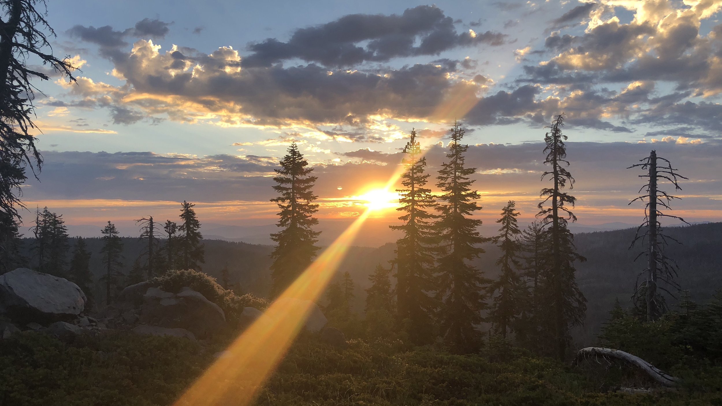
To start our hike we only had a little over a mile and a half to the top of Seldon Pass, at 10,913 ft. The hike up to the pass was gorgeous, the approach through beautiful rocks and along small streams.
With only 710 feet to gain over 1.6 miles the majority of the hike felt easy, a beautiful stroll through a fairytale land of rocks, trees, and rivers. There were only a few snow patches along the way, easy travel.

From the top of the pass, we were greeted by a stunning view of Marie Lake, and soon we had descended from the pass and were walking along the lake shore. Seldon Pass may not have been the highest or snowiest pass we crossed over, but it was probably the prettiest.

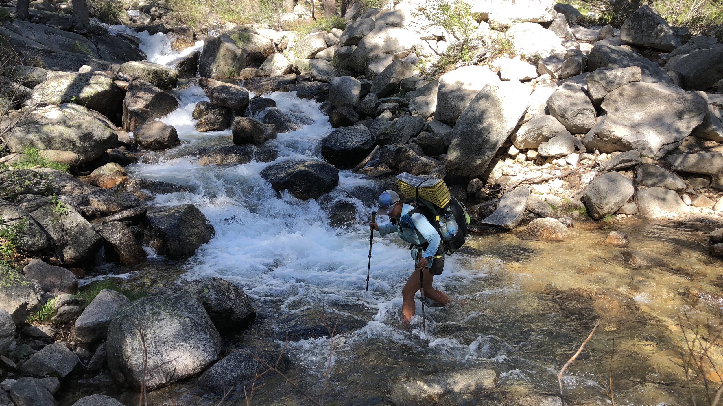
The morning, as usual, brought many stream, river, and creek crossings – which included rock jumping, log balancing, and finally – wading.
The biggest of the crossings – and the most dangerous in some years – was Bear Creek, which didn’t offer too much trouble this year. While there was a swift current, there weren’t any rapids at the crossing, and we steadied ourselves with our trekking poles as we eased across the creek against the current, wading to a little past our knees.

While this creek was cold, there were a couple later that put a hurting on me they were so cold, my toes stung with pins and needles from the icy water and I tried to walk quickly to warm them and ease the pain.

A little before 11am, we encountered something we hadn’t seen since we left Bishop: cell service. Actually, it was only AT&T service, and we have Verizon, but Squishy has AT&T and was nice enough to share her hotspot with us so we could all get online quick to book rooms in Mammoth Lakes and take care of a few other things – for me, ordering new shoes.
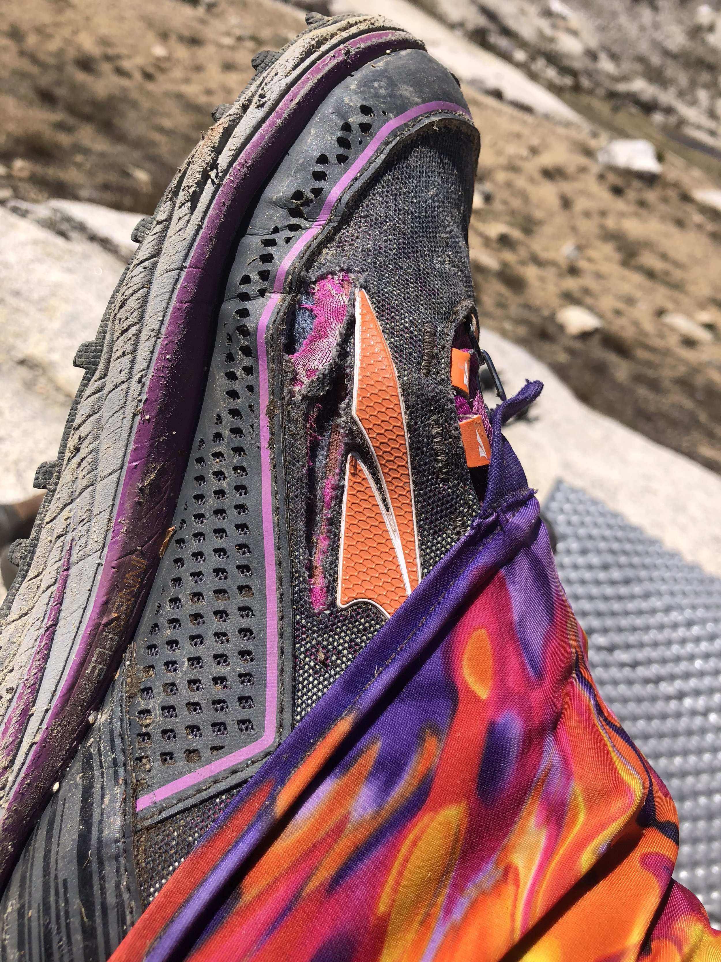
My current shoes are about at the end of their mileage and one of them is literally shredded on one side – apparently they didn’t take well to the snow travel.
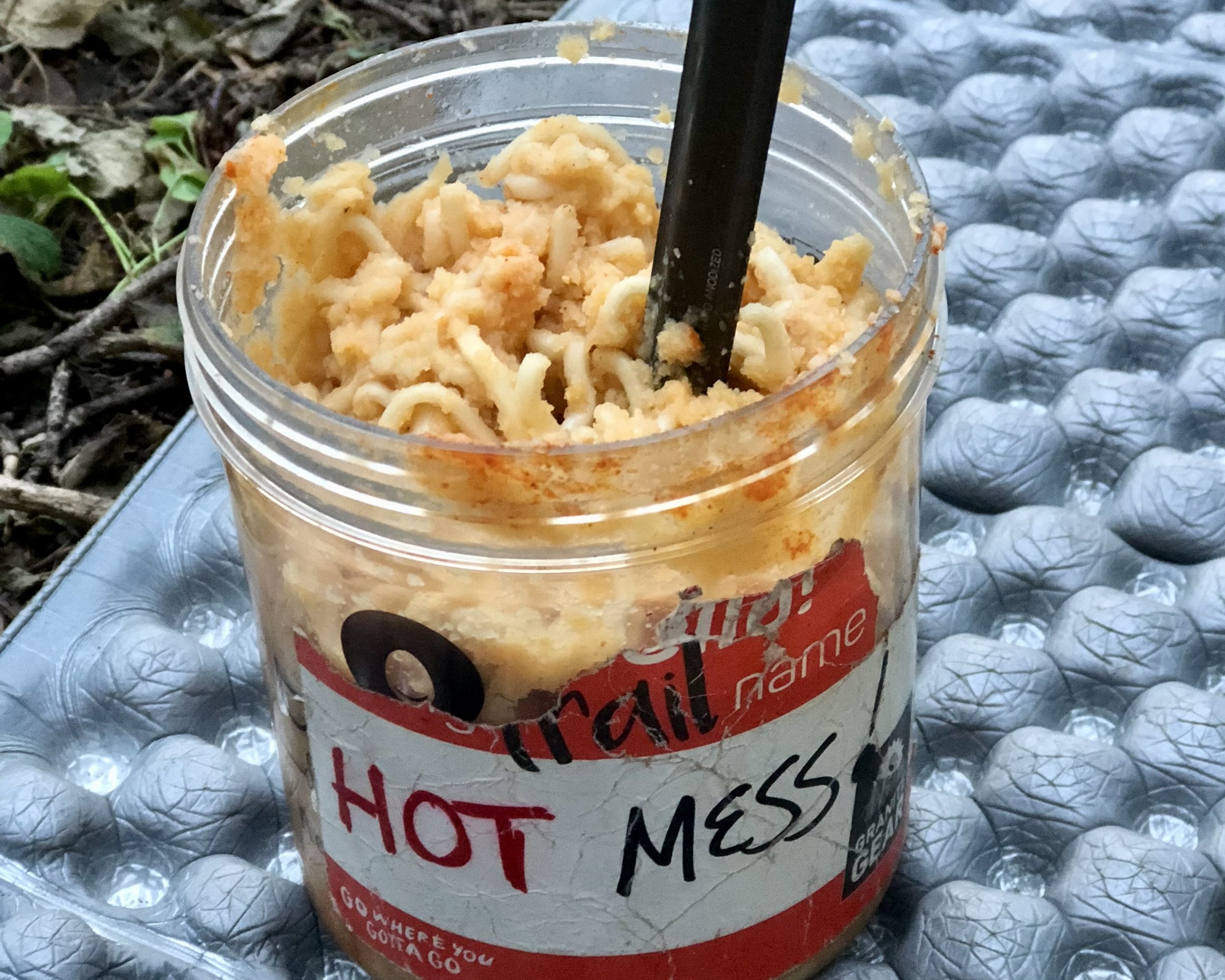
After this break, we hike for about another 2.5 miles to the top of the next climb, where we took our lunch break. Following lunch, we had a several mile descent that was really nice – mostly easy switchbacks of dirt and crushed pine needles, without a ton of uneven rocks to navigate.


After the descent, it was back up again, as we began the ascent to the final mountain pass of this section. The full ascent to the pass was 6.4 miles, though we only planned to go up about 4 miles before camping for the night, going over the pass tomorrow morning.
The ascent was a mix of gradual climbing and steeper rocky sections and had a few more river crossings, including a couple where we crossed right below waterfalls. Very cool.

Just before the tent site where we planned to camp for the night, I stopped at a creek to collect some more water and was attacked by a swarm of mosquitos. I collected the water as quickly as possible and hurried on.

The tent site we had planned to camp at wasn’t far, and also full of mosquitos, so we kept hiking to find something better, finally stopping at a site about .7 miles further up the trail. This site still had some mosquitos, since they can be impossible to completely escape in an environment full of water, but they weren’t nearly as bad as the other site. We covered ourselves up in long pants and tops, set up camp, and cooked dinner before ducking into our tents for the night.

Seldon down, Silver to go…
Tomorrow morning will be our last pass of this section, followed by another full day of hiking. The Sierras continue to amaze us with their beauty.