Day 54: Forester Pass
Date: Sun 6/10
PCT Start Mile: 774.1
PCT End Mile: 789.0
PCT Mileage for Day: 14.9
Total PCT Mileage: 789.0
The Highlights: highest point of the PCT

Today we set out at 6:30am, and would soon wish we had started our day earlier.
Before the approach to Forester Pass, we had to start our day with a river crossing at Tyndall Creek. Unlike the streams we crossed barefoot yesterday, this one was flowing much faster and none of us wanted to get our feet wet quite this early in the morning.
We found a section where some questionable rock hopping looked possible – not great, but possible. Shawn led the charge, testing it out. The last rock he hopped to was slick with ice and he slipped, luckily just his foot went in and he was able to rectify himself without completely falling in the river.
Unfortunately, the worst part of the slip was that his phone fell out of his hip belt pocket. He typically leaves his phone sticking out a bit, which had been fine the whole trip, but now it quickly floated down the drink and we were unable to find it. Phones are replaceable, but the terrible part is all of the lost pictures, which we haven’t been diligent about backing up.
Hopefully at least some of them were backed up to the cloud the last time we connected to WiFi in Kennedy Meadows, but even so, all of his Sierra pics thus far would still be gone. Of course we have my pictures, so not a total loss, but we each take different pics, along with pics of each other, so it’s still a huge bummer.
Having witnessed Shawn’s slip, the rest of us took a safer rock route, which left us soaked up to our shins, but the rest of us dry. We would soon find that our feet would be soaked all day anyway.
After a fruitless search to see if the phone may have washed to the side of the river and gotten stuck in the bushes, or sank before it floated too far, we continued on our way, one less phone along for the journey.
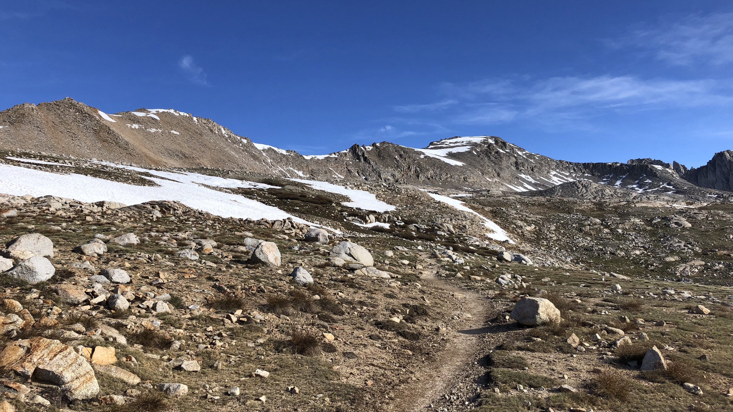
The approach to Forester Pass was long, weaving us up hillsides and through boulder fields. Much of the trail was covered in snow fields and between snow travel and route-finding, the miles were very slow. Old Timer, another hiker whom we’d met on several occasions, joined us in the search for the pass.

Old Timer
Reaching the very base of the pass, we put on our microspikes to climb some steep snow embankments to reach the switchbacks, which were covered in snow at the lower levels. After the snow travel and a bit of class 3 rock scrambling, we finally reached the snow-free portion of the switchbacks that led to the pass.

LOL scrambles up to the switchbacks.
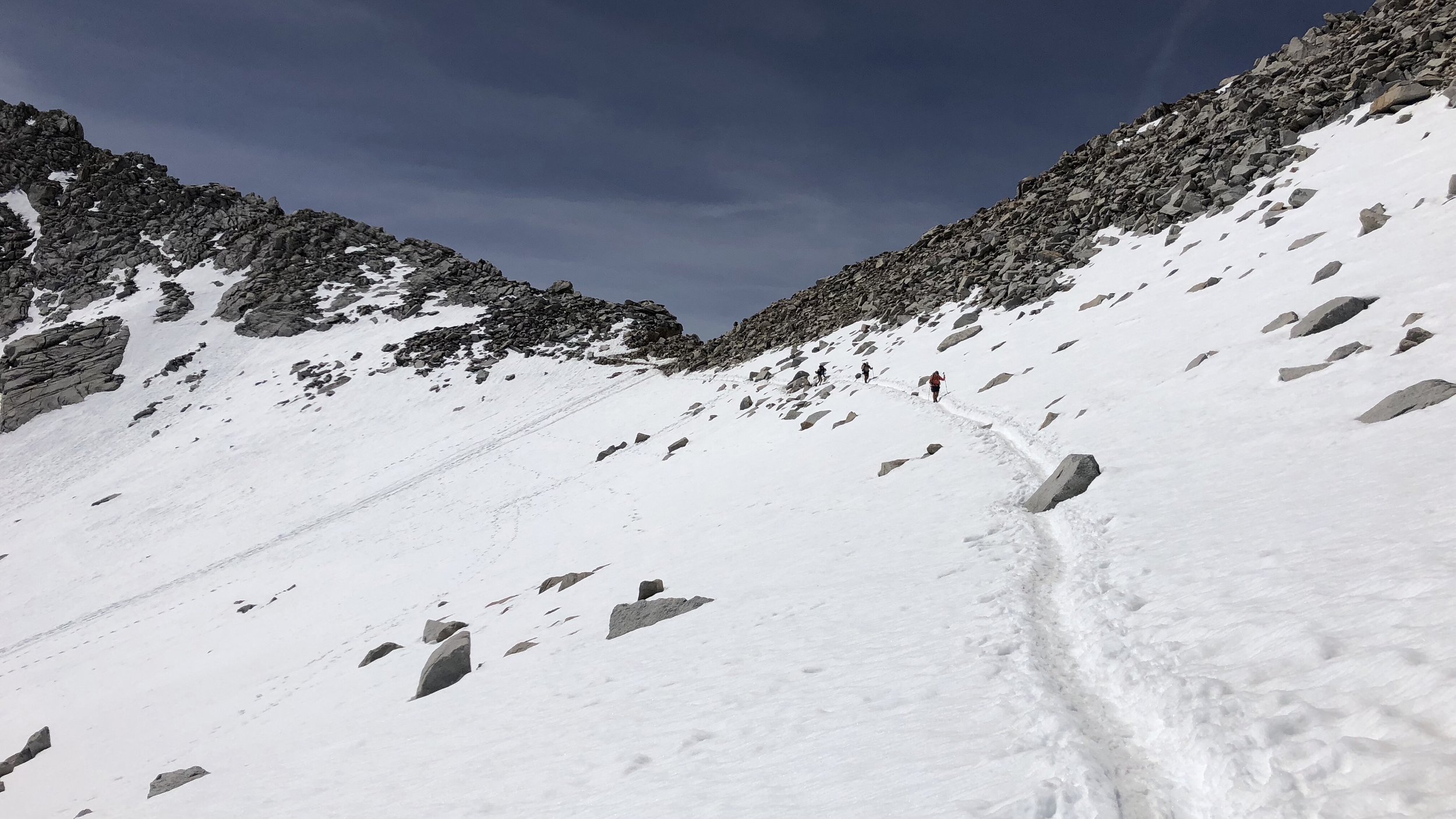
We hiked the trail up a half mile to the snow chute just below the pass, where we stopped again to put on our microspikes before walking across the chute.

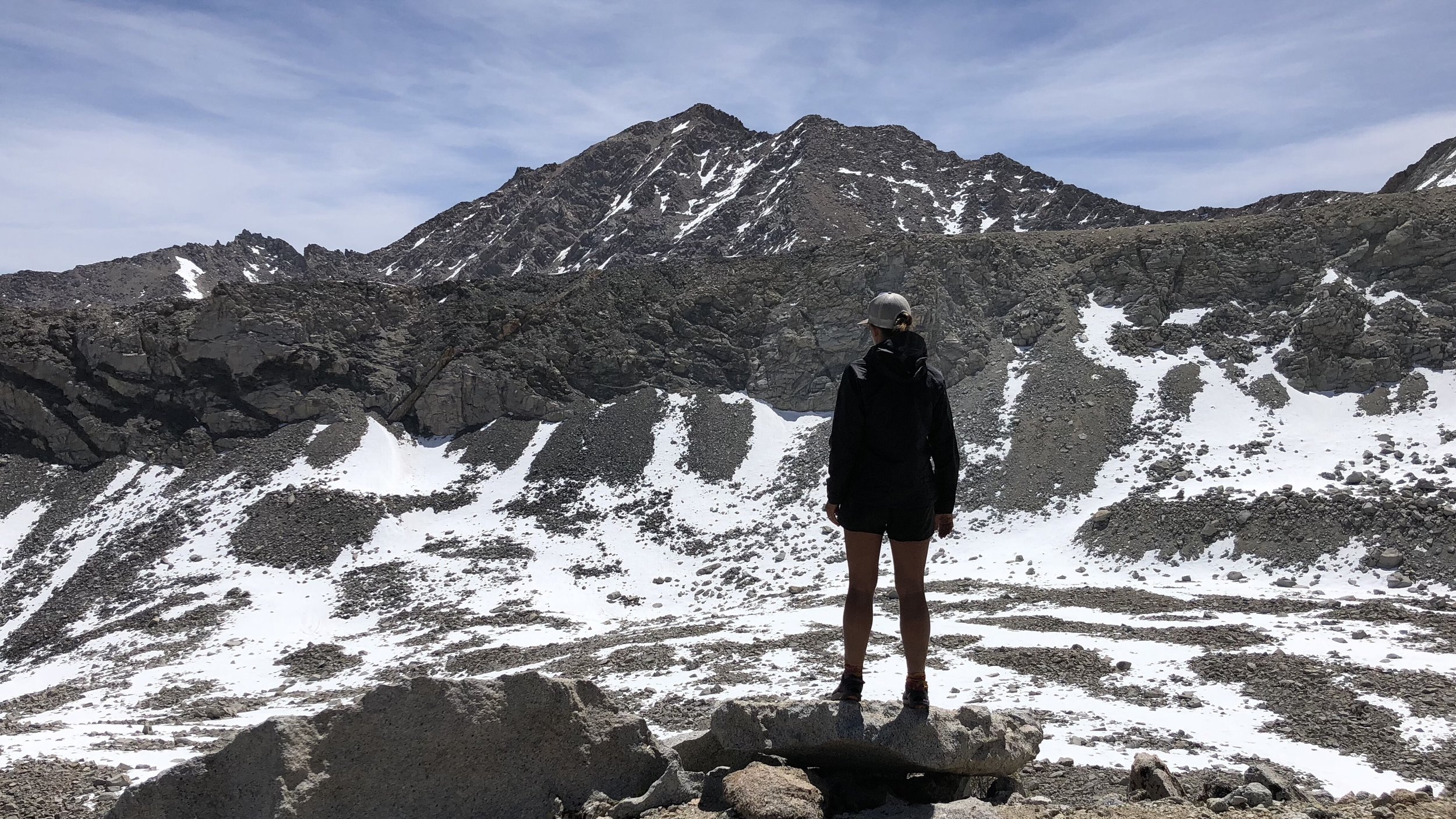
From the other side of the chute, a few short switchbacks led to the top of the pass. We made it to the highest point of the PCT: 13,124 ft!
At just after 10am, it had taken us 3 1/2 hours to traverse the 5.1 miles to the top of the pass, and the work wasn’t over.

After snapping some pics at the top of the pass, we began our descent across the snowy slope on the other side of the pass, walking in the snow tracks of previous hikers.
The snow was beginning to get slushy and slick and we now wished we’d gotten an earlier start to the day. Working our way down the slope, there was some postholing involved in the sun warmed snow. Punching through the snow to our knees or even up to our waist, we’d climb out of the hole and continue down the slope.

The remainder of the descent would be partially dirt/rocky trail and partially snow covered. At one point where it looked like the next step was too slick, I preemptively decided to sit down and glissade (rather than accidentally fall down and do it) down the remainder of the slope. This was VERY cold and uncomfortable in shorts, and not something I will do again.
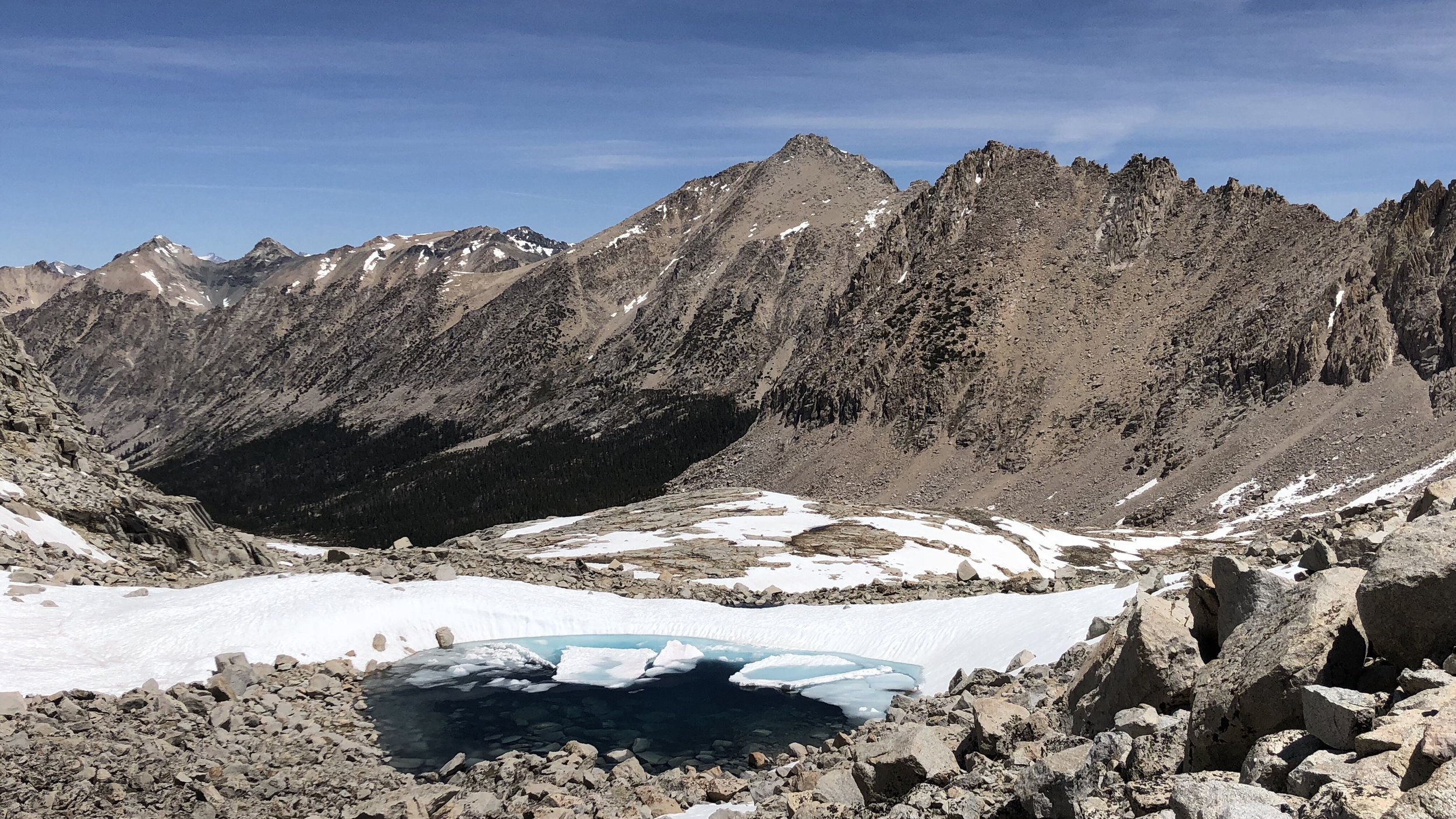
Finally down to more level ground, we made our way down the trail and through snowfields, some more postholing involved. The scenery surrounding us was amazing, tall snow-covered peaks and half-frozen lakes. It truly felt like we were in the middle of nowhere. A spectacular frozen nowhere.
Finally, when we were certain we were through the last of the snow, we found a great little spot to take a lunch break. We peeled off our wet shoes and socks and let them dry in the sun while we ate.


The majority of the rest of the afternoon’s hike was fairly easy, including four miles of descent. Stream crossings and wet and muddy trail left our feet wet the remainder of the day, our attempts to dry everything at lunch completely worthless.
For a good portion of the afternoon, we hiked along Bubb’s Creek, with raging rapids and fairly large waterfalls, we found it comical that anyone would name this a “creek”. In the desert, we would have given anything for water, now it is everywhere. Including my shoes.

The last two miles of our day were a steep climb to the area we planned to camp for the night. We stopped 1.3 miles up the climb to collect water from the last stream before our campsite.
The one problem with having water everywhere? Mosquitos. I collected and filtered water with a quickness and nearly ran away from the river to escape the blood-suckers. They seem to be particularly fond of Shawn’s sweet blood, so I will just need to stand near him 🙂
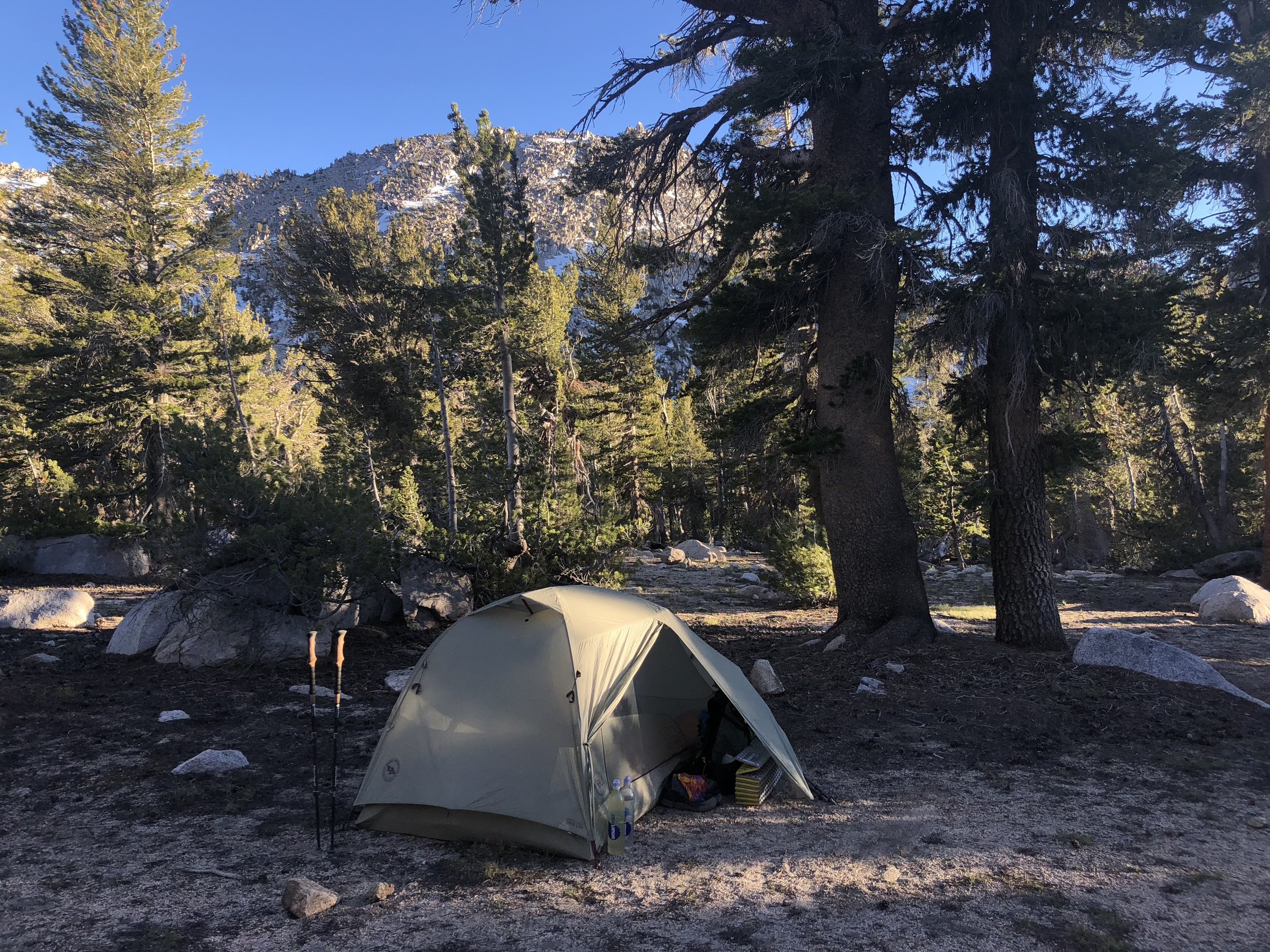
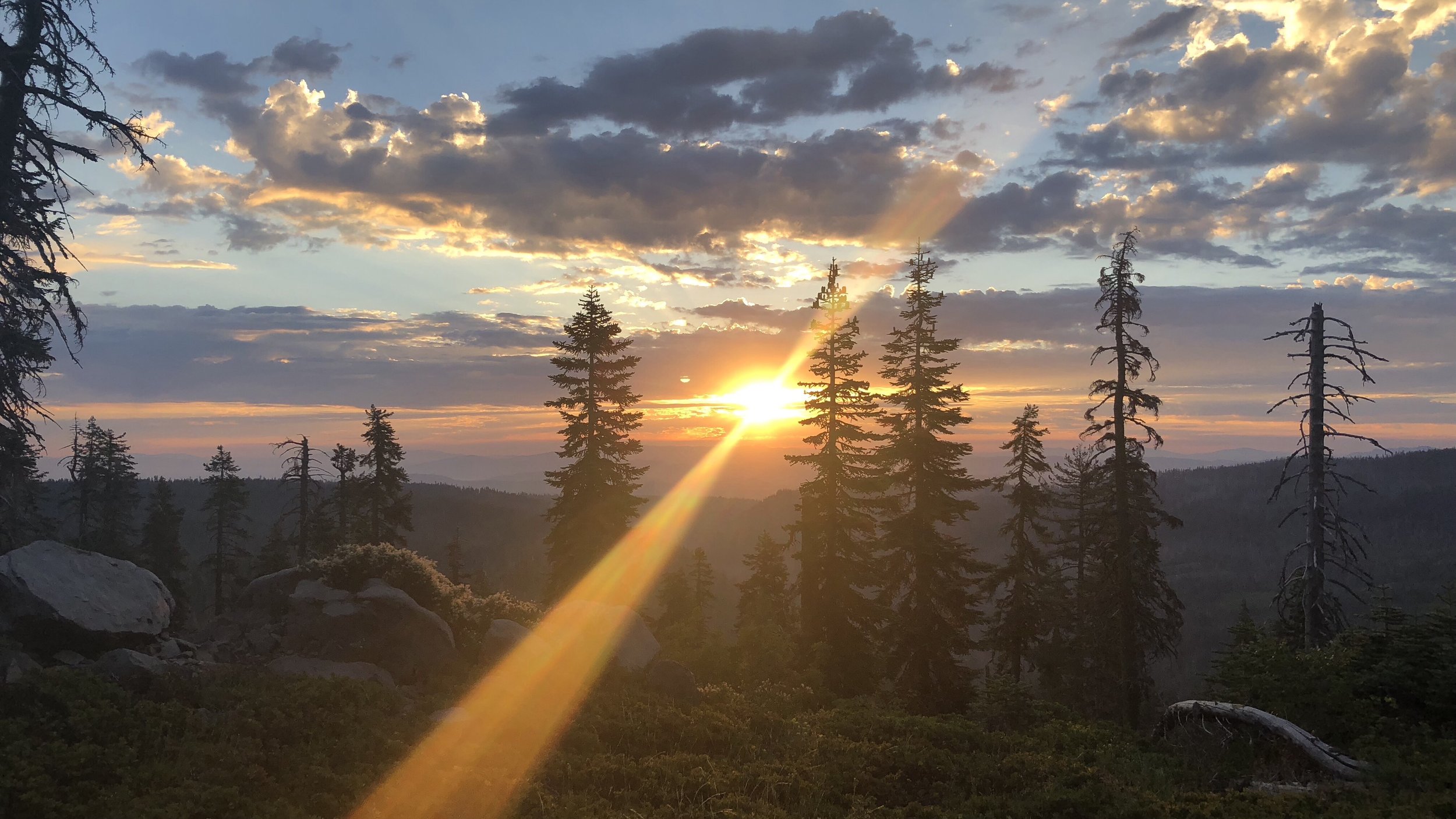
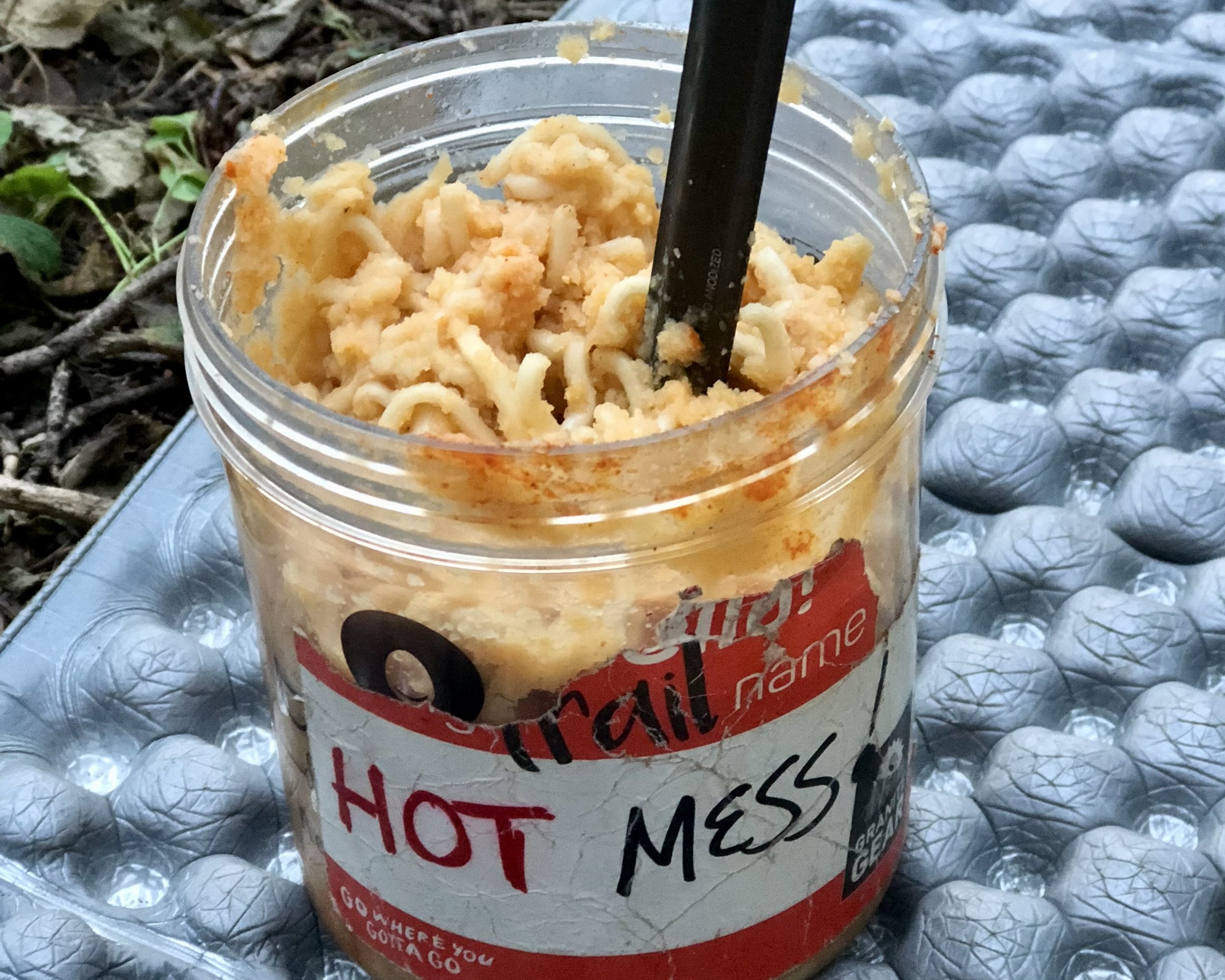
Tonight we’re camped along a beautiful flat wide plateau in the middle of a climb, surrounded by pines. The evening was warm and it was nice to eat our dinners in comfort, unlike last night’s cold dinner affair, which left me hurrying to finish eating and get into my sleeping bag.
Tomorrow we have a relatively short hike of 8 miles to the Onion Valley trailhead, from which we’ll head into Bishop, our next resupply stop.