Day 53: Mt Whitney Summit
Date: Sat 6/9
PCT Start Mile: 767.0
PCT End Mile: 774.1
PCT Mileage for Day: 7.1
Mt Whitney Side-Trip Mileage: 15
Total PCT Mileage: 774.1
The Highlights: Mt Whitney, Guitar Lake, Timberline Lake, lots of marmots
Today we did the very popular side-trip to Mt Whitney. At 4am, we all stood outside our tents, headlamps on, ready to go. Some people had started their summit hike at 1am to catch the sunrise from the peak. We were not those people.
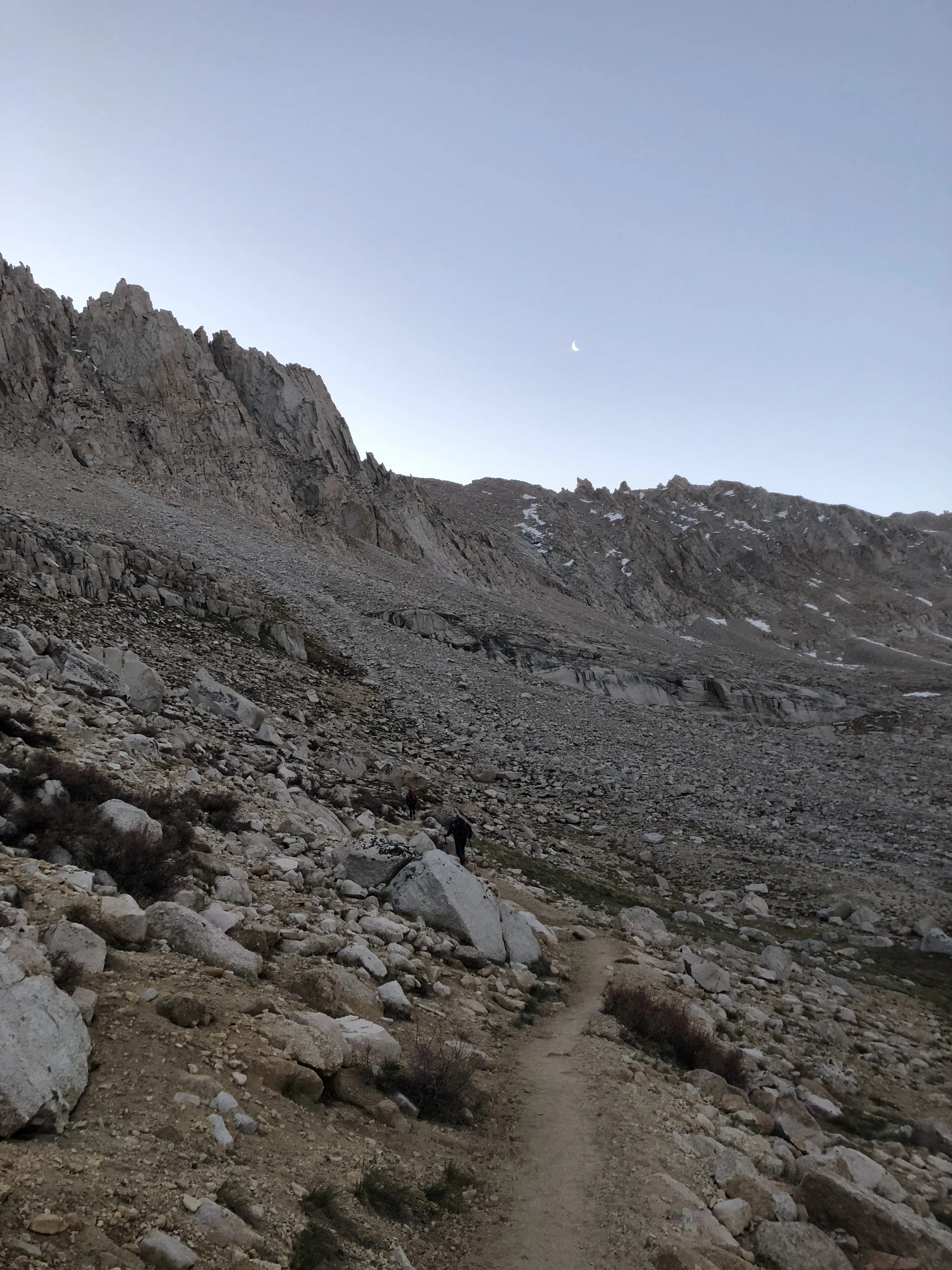
Hiking out of Crabtree Meadows at 4am, I scouted the trail with my headlamp. The three headlamps on behind me cast a giant shadow of myself onto the trail in front of me, negating most of the brightness of my own headlamp.
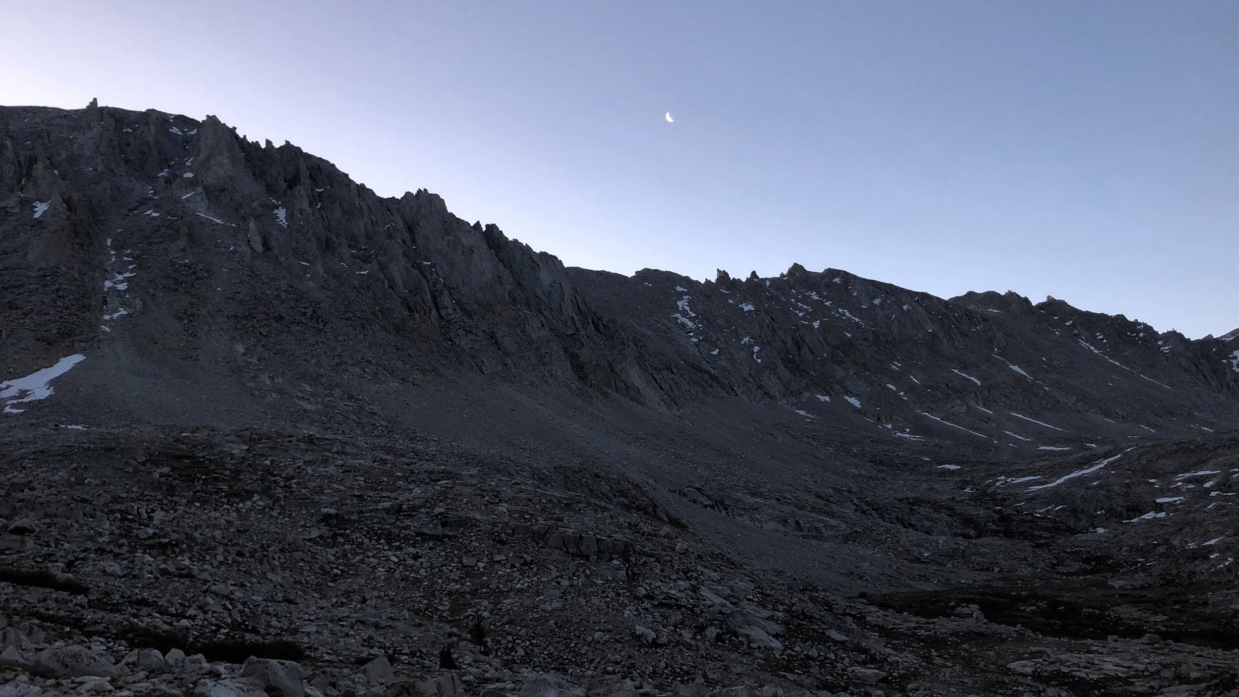
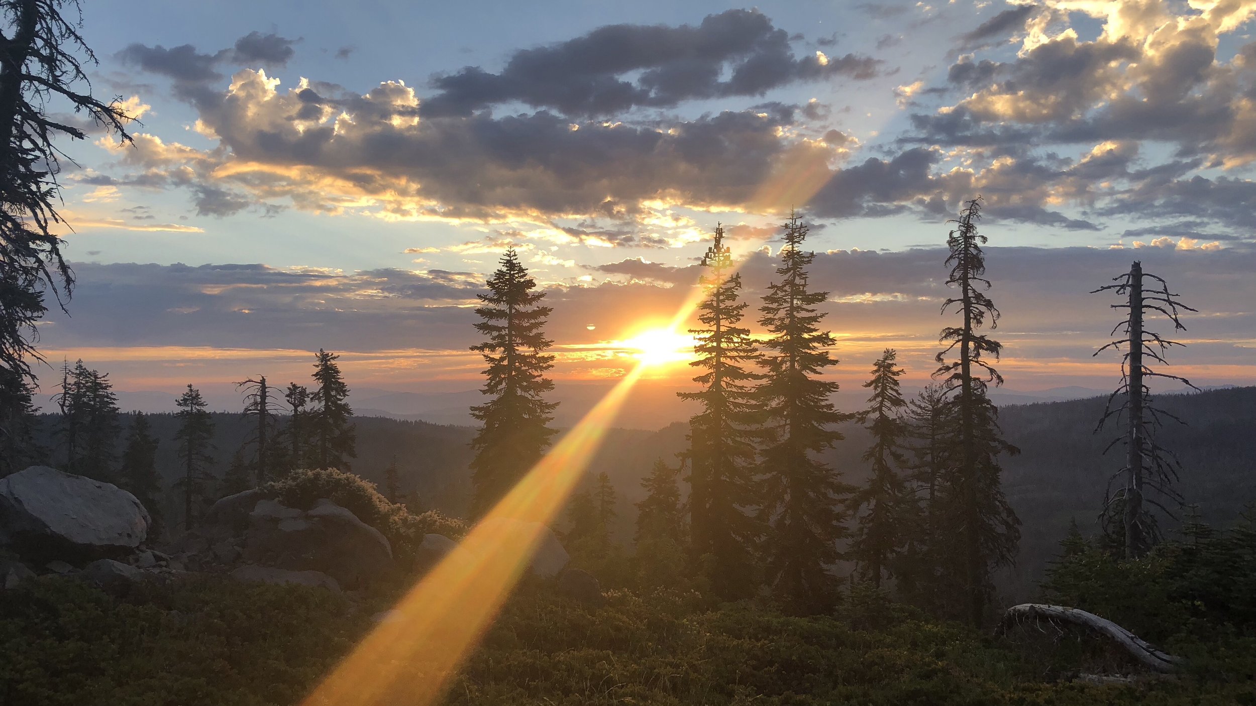
Hiking through the dark, the mountains above looked like giant shadows, the glistening white of snow streaked across them illuminated by the sliver of moon that hung in the sky. Passing by Timberline Lake, the mountains were reflected in the dark waters. It was a beautiful sight with all the dark colors of the early morning hours – blacks, grays, and dark blues, all slowly dampening as light crept into the sky.

By the time we reached Guitar Lake, there was enough light in the sky to turn off our headlamps. The sunrise over the mountain backdrop east of the lake cast shades of blues, purples, pinks, and oranges across the sky.
The trail to the Whitney summit wrapped around the west side of the lake before climbing into a seemingly endless string of switchbacks up the mountainside. After about three miles of climbing up and around Guitar Lake and up the switchbacks, you finally reach the ridgeline at the junction to the Whitney Portal, a route that climbs up from the other side of Mt Whitney.
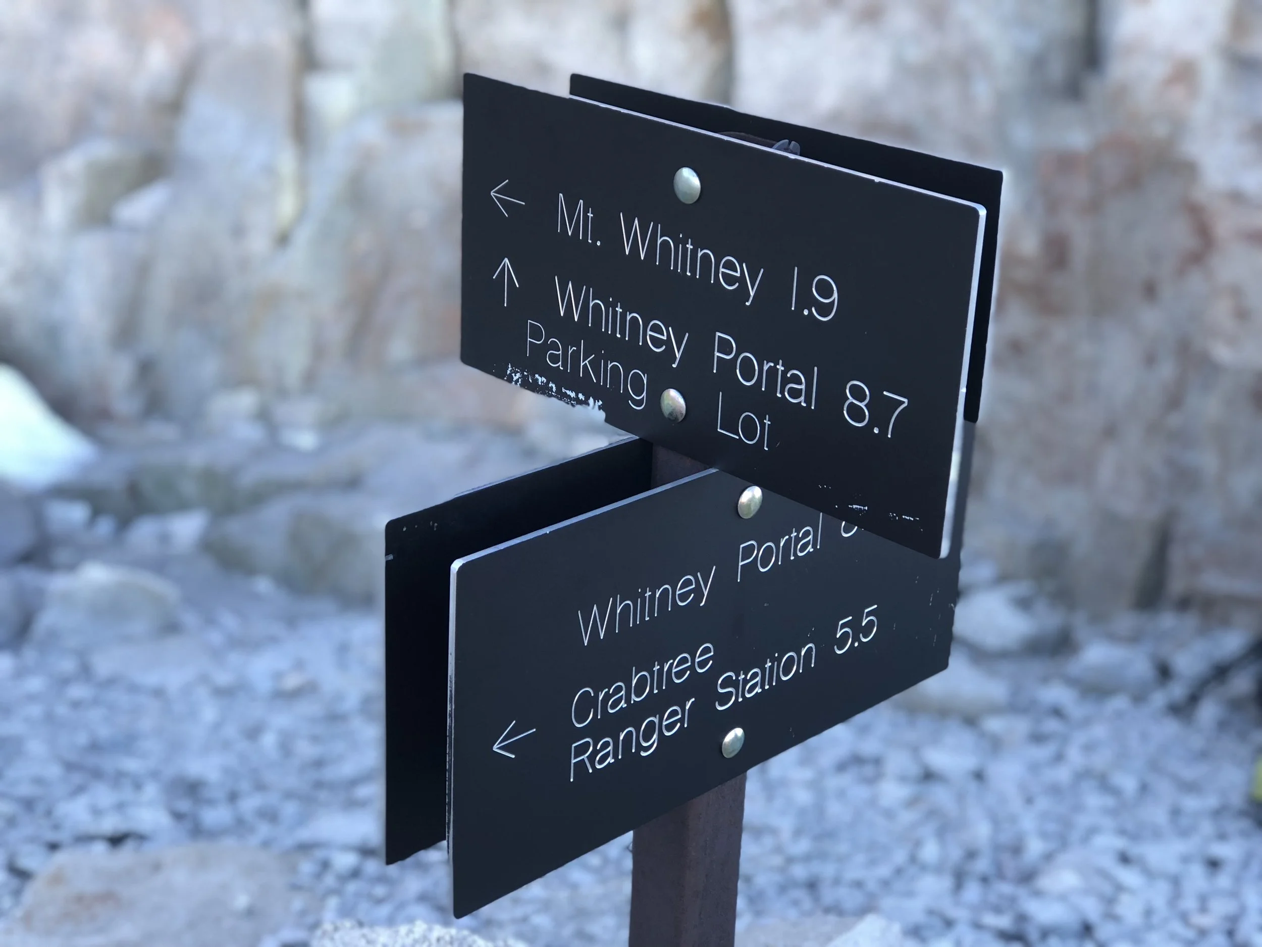
From the junction it is 1.9 miles to the summit, mostly along the north/south ridge trail of rocks and several very sketchy rock/icy snow sections that required very careful footwork.

On the way up, we met several hikers on their way down, having summited early for sunrise and now making their way back to camp. The consensus seemed to be that the sunrise was beautiful but it was absolutely freezing at the peak as they waited for the sun to rise, many arriving too early.
I was glad we did not do a sunrise summit. It was already plenty cold for our climb as it was, a strong wind picking up throughout the climb.
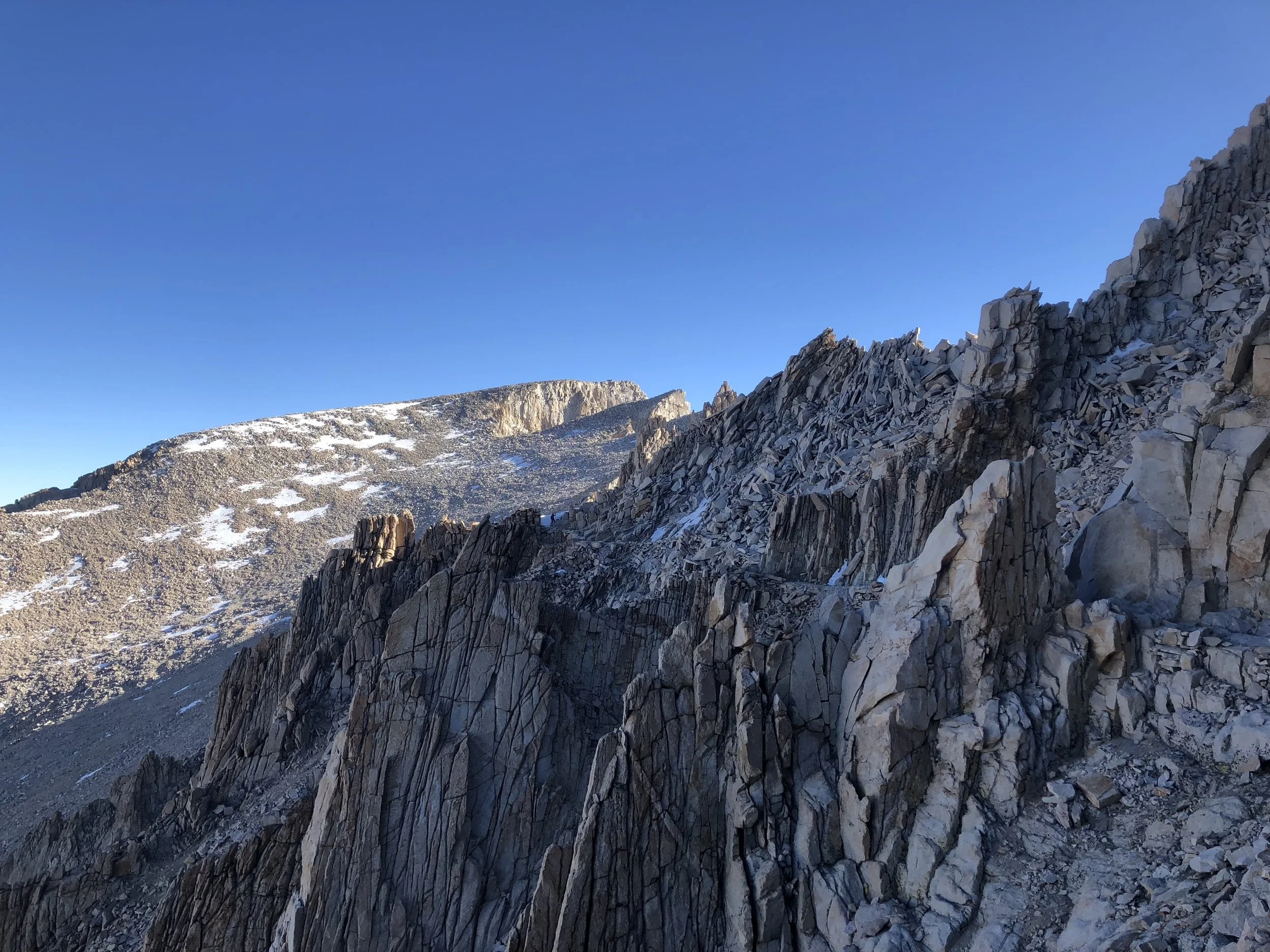
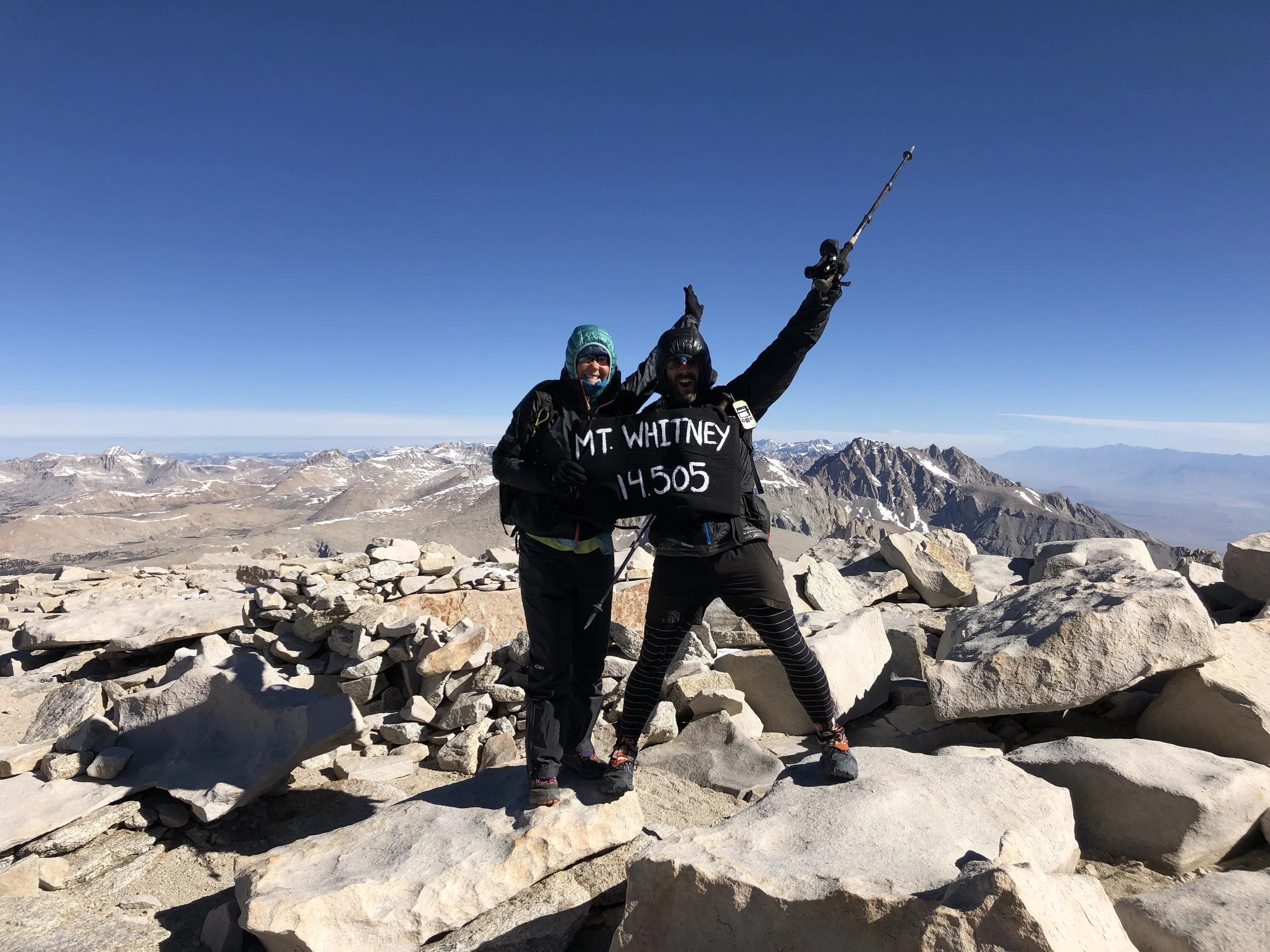
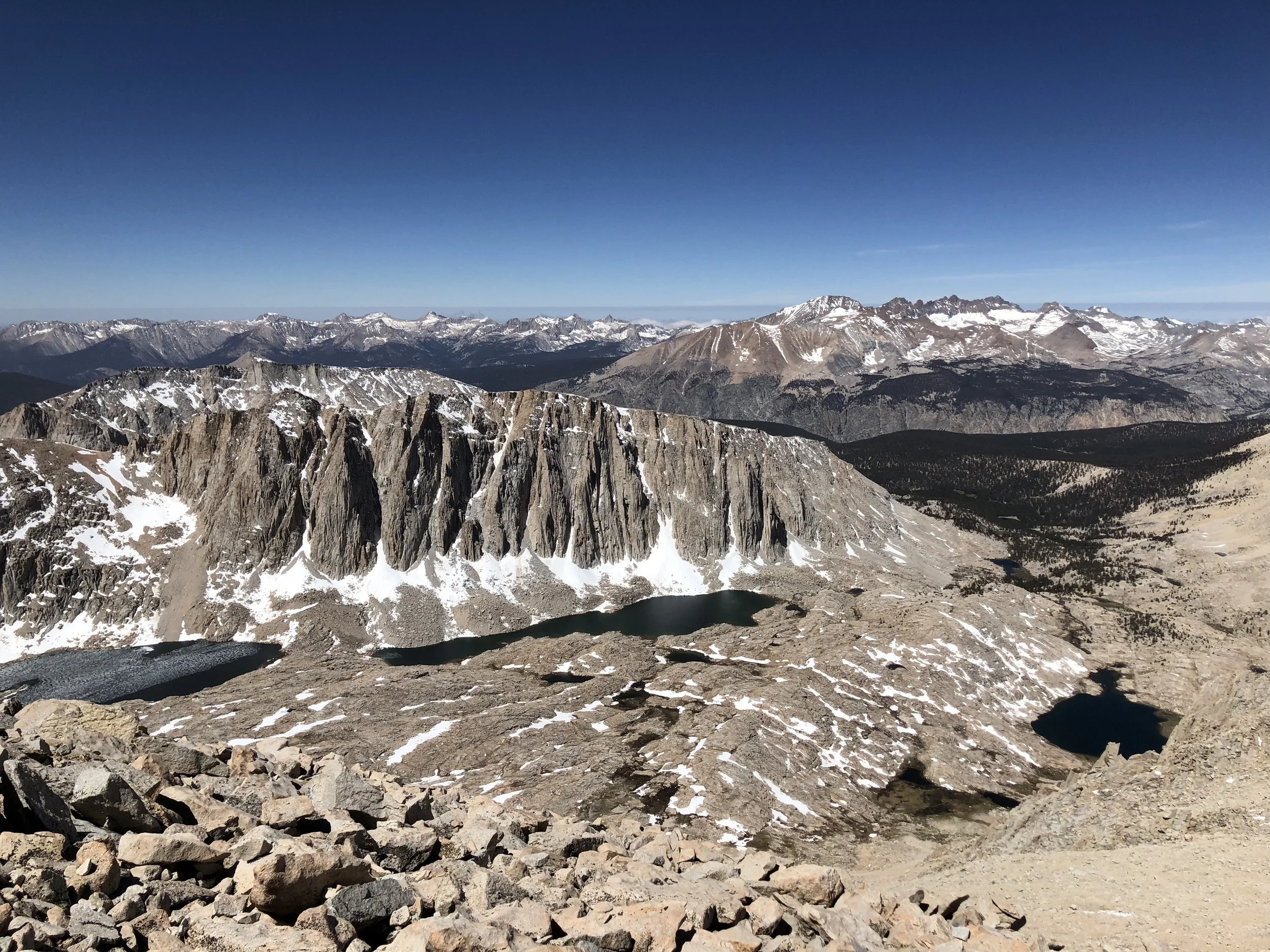
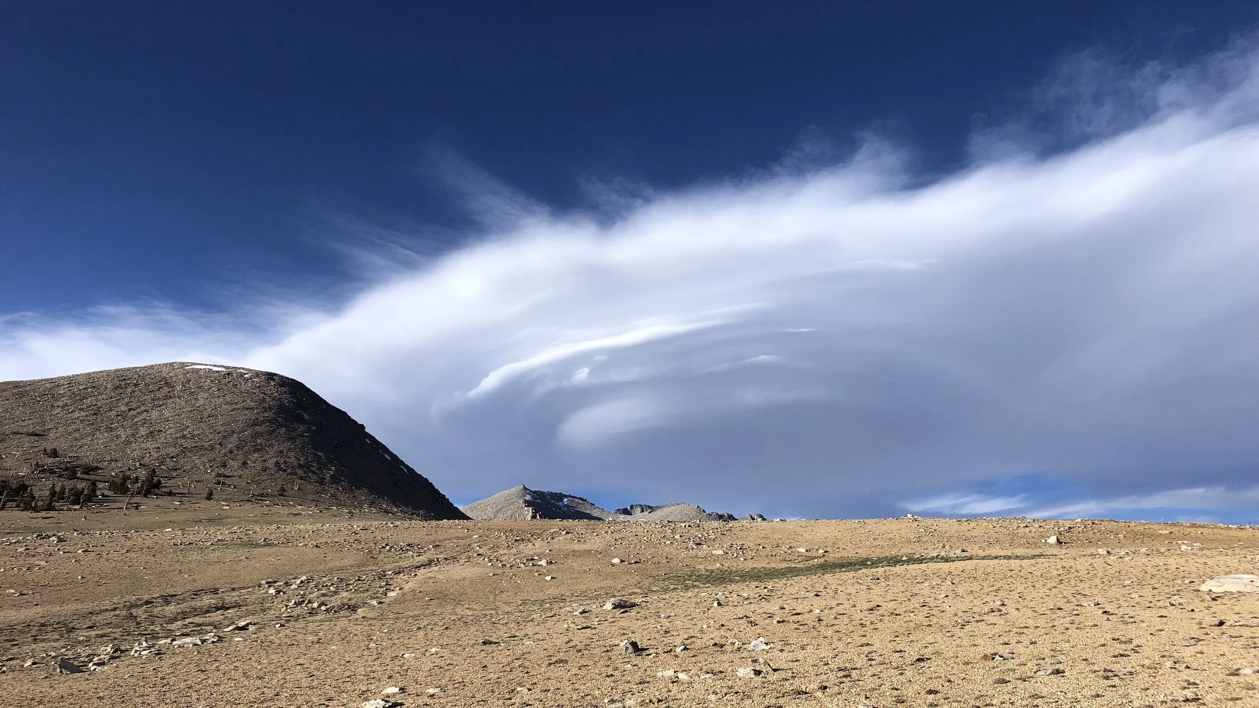
Summit in the background center of photo.
Finally the ridge ended with a series of switchbacks up the rocky peak to the summit. I was somewhat shocked to see that there was a rock hut at the top. It was mostly full of snow, so obviously not getting much use.
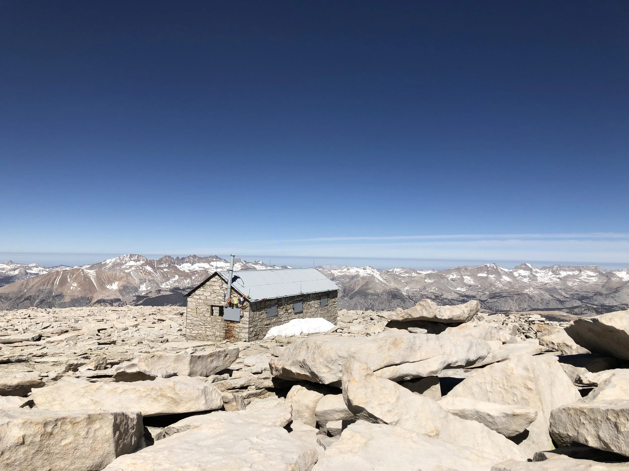
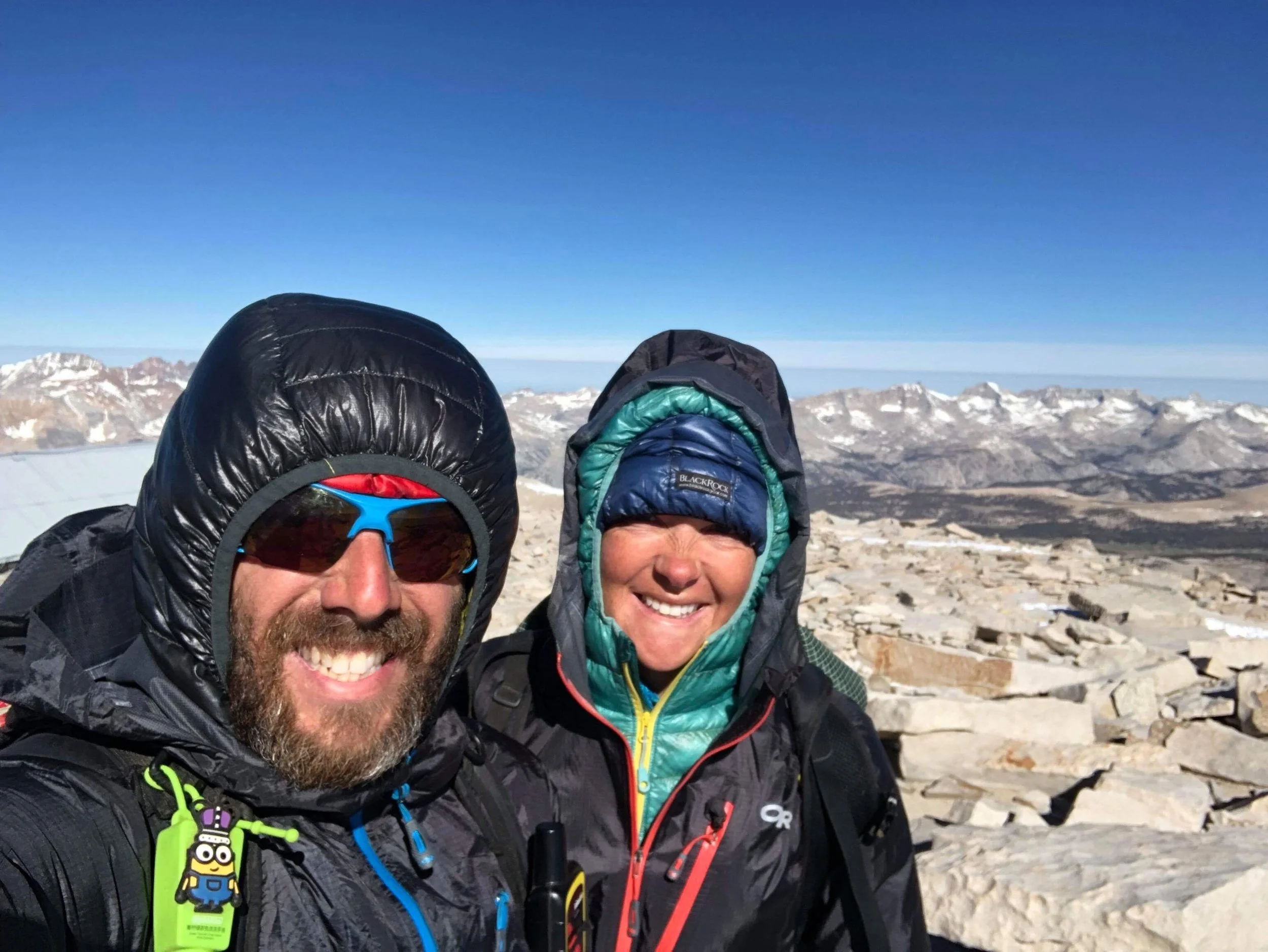
The wind was whipping good at the summit, and I found Shawn ducked behind a rock with another hiker. I quickly joined them.
While we would have liked to stay longer to soak in the epic views from the highest peak in the lower 48, it was too cold. We snapped several pictures and I called my mom to check in, the summit of Whitney the only place we’ve had cell service this section.
With that, we started making our way back down, through the gauntlet of sketchy sections along the ridge and finally to the switchbacks and down to Guitar Lake.
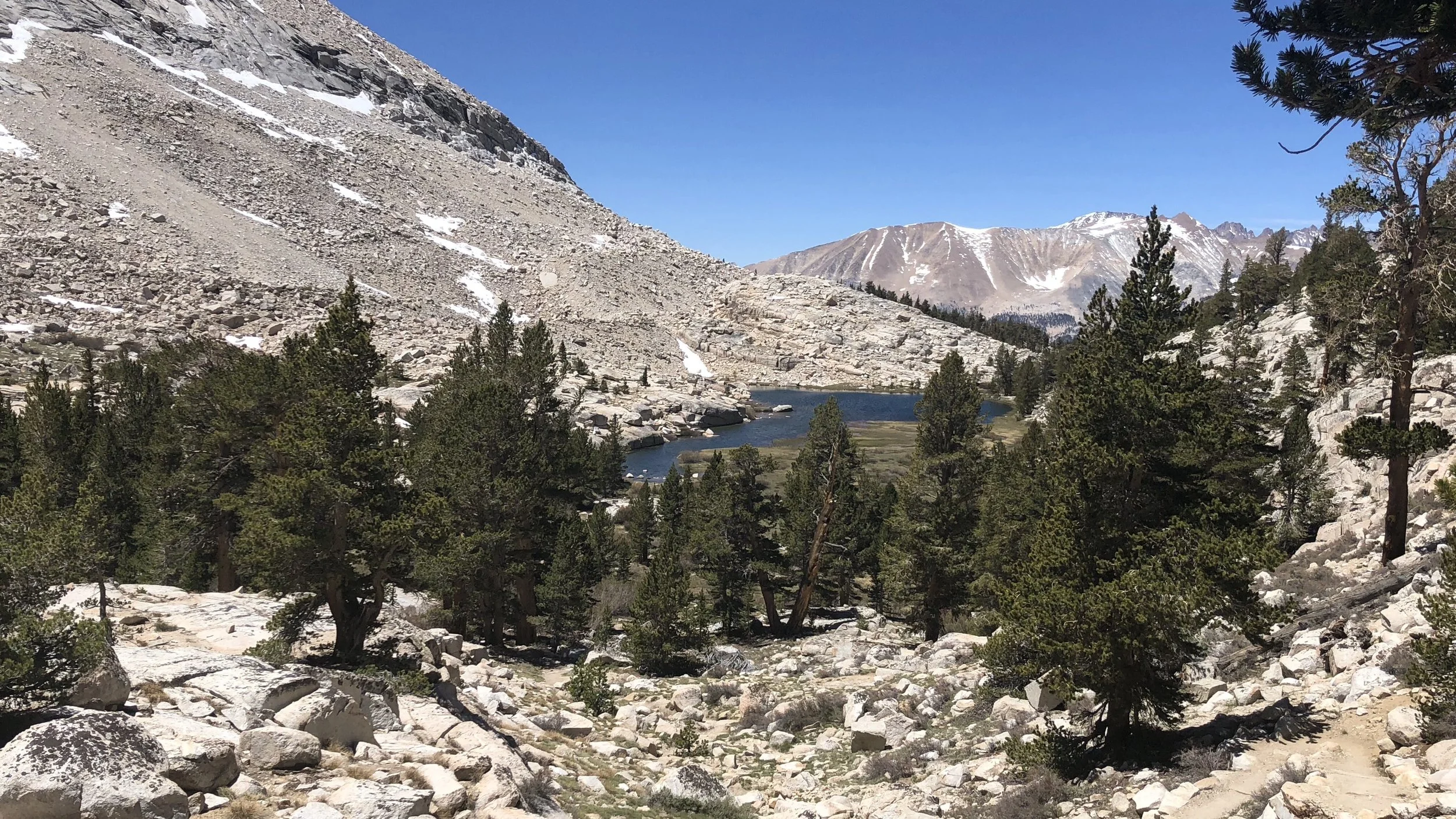
On our hike back to Crabtree Meadows, we got to see the amazing scenery that we had missed in the darkness of morning, seeing only vague blackened scenes of mountains, lakes, and trees.
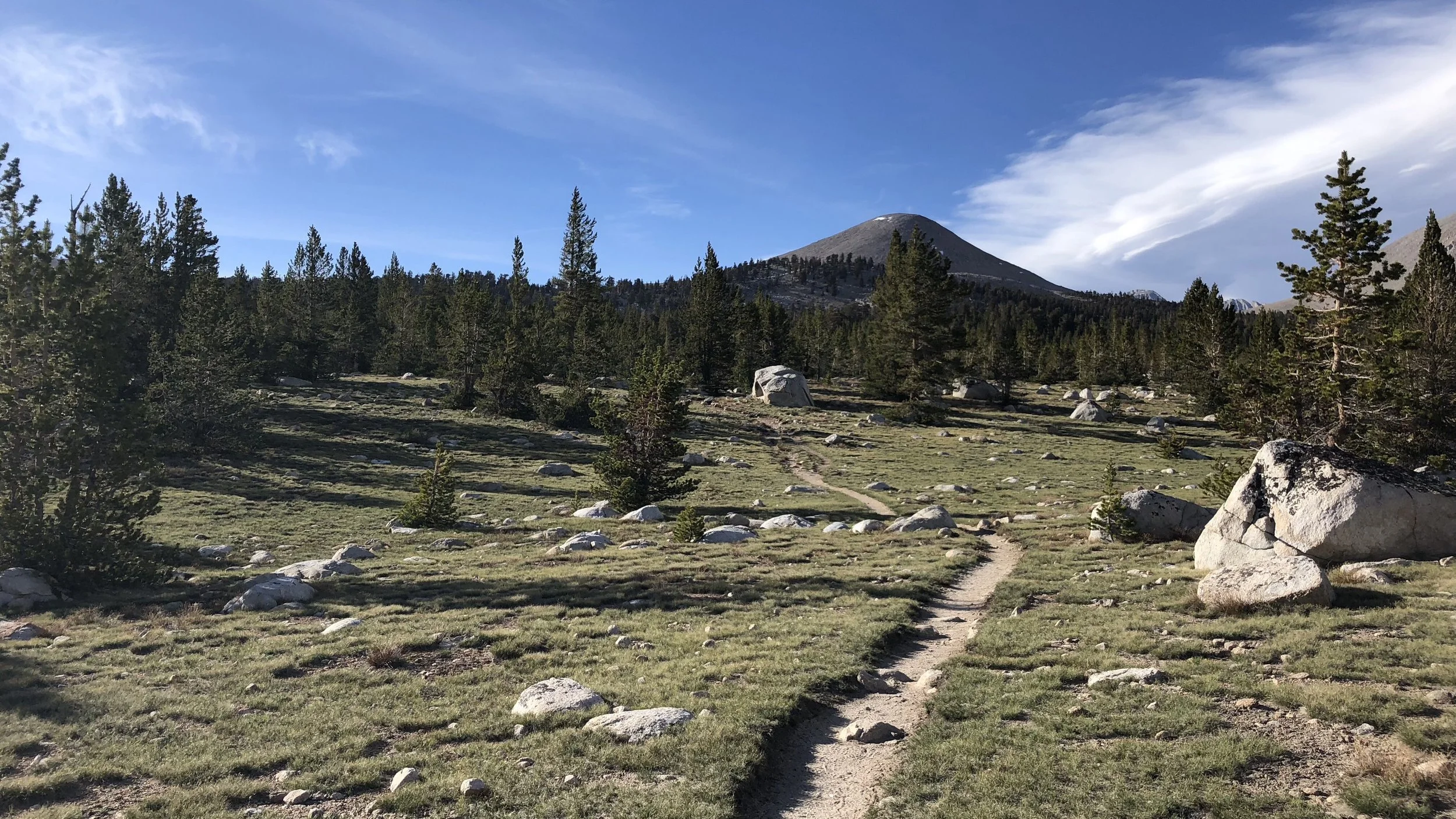
Now in full color, it was a different kind of beautiful and I sauntered back to our campground, winding my way around the lakes and soaking in the sun. Marmots were everywhere, scampering through the landscape of boulders.
Exhausted and hungry, Shawn and I ate lunch and made fruitless attempts at naps. While the Whitney summit should have been enough work for the day, 14 miles round trip from Crabtree Meadows, unfortunately we would need to get more miles in.
Tomorrow we will go over Forester Pass, the highest pass on the PCT at 13,124 ft. It’s best to tackle passes first thing in the morning, when the snow is still hard. Later in the day, crossing high passes can be difficult at best, dangerous at worst.
So, we needed to set ourselves up for a morning ascent, which would mean hiking another 8 miles to the base of the pass tonight. No one was particularly excited about hiking more, but for safety, it was best to camp near the base of Forester Pass tonight so we could start up first thing in the morning.
With that, we grudgingly hiked out of Crabtree Meadows a little after 3:30pm. First we had a mile back up the JMT trail to rejoin the PCT, and then another 7.1 miles to the area we planned to camp.
The hike included a series of ascents and descents, and also some river crossings. While Shawn was able to jump across on rocks at both rivers, his rock selections were a bit too precarious for the rest of us, and we opted to take off our shoes and wade across.
For raging rivers that need to be forded, we will leave our shoes on for stability, but both of these had moderate flow and we were able to fairly easily wade across barefoot.
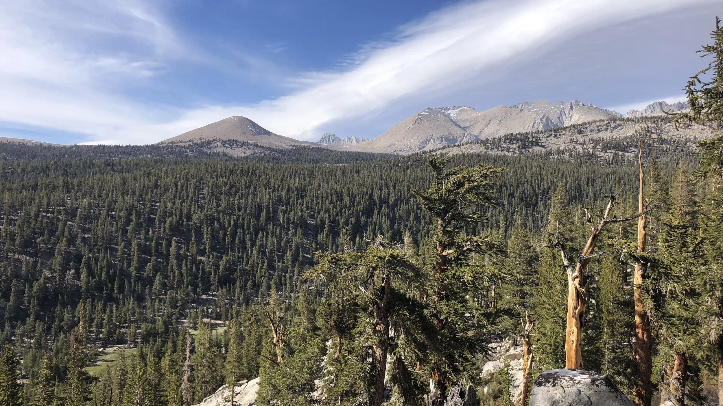
Throughout our late afternoon/evening hike, we continued to have great views of Mt Whitney. It was hard to believe that we had just been at the summit this morning, it looked so far away now. There were remarkable Sierra views at every turn: stunning peaks, bright green meadows, and a landscape of boulders. The Sierras have been truly spectacular at every turn.
We got into the tent site area a little before 7:30 and hurried to set up and eat dinner, all of us cold, tired, and ready for bed. Tomorrow will be another big day as we tackle our first high pass of the Sierra.