Day 39: Blowing into Tehachapi
Date: Sat 5/26
PCT Start Mile: 560.6
PCT End Mile: 566.4
PCT Mileage for Day: 5.8
Total PCT Mileage: 566.4
The Highlights: beautiful wake up, back-bending hike through the Alta Wind Energy Center, & Mama and Papa Squishy

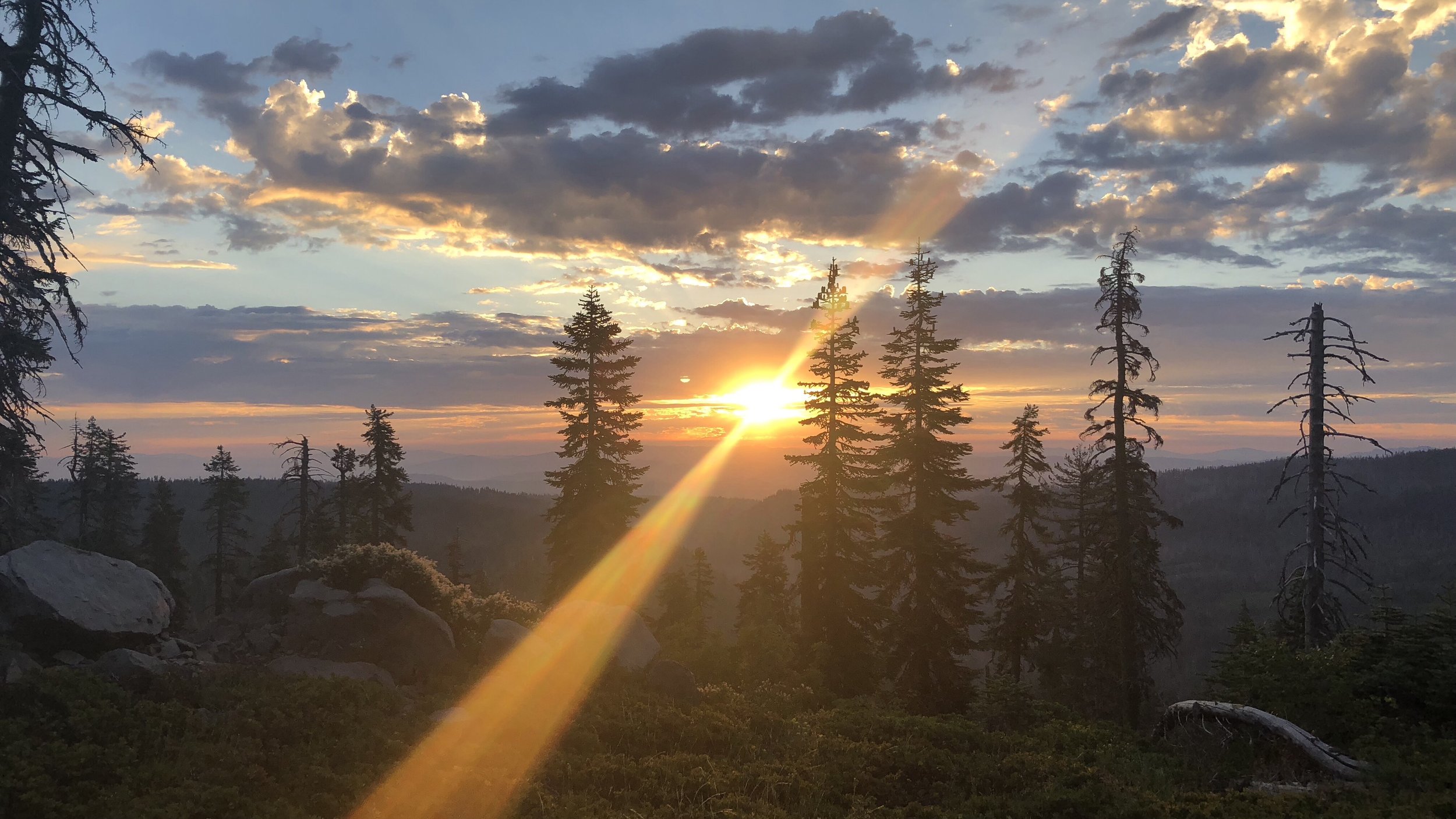
Cowboy camping last night turned out to be an amazing way to experience the desolate windy landscape. While we were snug and warm in our bags, we were camped on a slight slant, which had made sleep difficult for me after about 1am. I slept in small bouts, which while restless, gave me a lot of time to sky gaze throughout the night. I woke often enough to watch the moon move across the sky and finally far enough out of sight to allow views of the stars through the wispy dark clouds that swiftly glided across the sky.
The wind turbines in the distance a constant light whirring, those closer behind us the sound of motor, not so loud as to be annoying, but an incessant hum in the night. The red blinking lights on top of the turbines created an eerie landscape in front of us, a sea of little alien beacons across the desert.
It the early morning hours there was a very light misty rain, not enough to wake Squishy or Hot Mess (both of their faces buried in their sleeping bags), but I could feel tiny drops on my face from time to time and the outside of our sleeping bags were slightly damp. It was too little moisture to be bothersome, and we’d be getting up soon.
Waking this morning, the sky was beautiful with clouds floating quickly across the dull blue of morning above us, wind turbines whirring quickly in the winds. Our little shelter behind the bush was perfect, but outside its confines the cold wind was whipping across Tehachapi Pass. If not for our meet up at the highway with Squishy’s parents at 9am, we may have never left our sleeping bags.
The wind absolutely freezing, we donned both down puffy jackets and rain coats, as light rain began falling again just as we finished packing up. After the difficult task of peeing without getting anything on our shoes in the gusty winds (😂), we were off.
While we had thought the winds yesterday had been high, they were child’s play compared to what we now walked through, bent over like grandmas, bracing ourselves against the wind for each step. Sometimes moving slowly against it and others being pushed down the trail by it, the winds were blowing us around to the point of being comical (when they weren’t kind of scary). LOL let out loud laughs, hysterical at the insanity of it all.

The one picture I took on the hike, while there was a slight break in the wind. Hot Mess up ahead of the rest of us.
Later in Tehachapi, I did some more research about the area. The Tehachapi Pass area is home to the Alta Wind Energy Center, also known as the Mojave Wind Farm, one of the largest onshore wind farms in the world, covering 3,200 acres.
Wind throughout this region is driven by a combination of high pressure from the Pacific Coast, differential heating between the Pacific Ocean and the Mojave Desert, and funneling of the winds through the San Joaquin Valley into the Mojave Desert. Average wind speeds through the pass range from 19-25mph, and the projects estimated annual production of 2,680 GWh powers over 450,000 homes, reducing 52 million metric tons of Carbon Dioxide, equivalent to removing nearly half a million cars from the roads.
According to all of the information I could find, there are 600 operational turbines through the valley, though it seemed like far more as we hiked through the area. It was quite the landscape to hike – or rather, blow – through. Unfortunately I couldn’t find any information about the wind speeds through the pass for the day, as most of the wind info I could find was only for the Tehachapi city area.
(For more reading about this region, my sources for the above info are primarily: here, here, and here. The first one is a very interesting one year wind measurement research project for two California sites, including the Tehachapi Pass area. Fun geeky science graphs.)
Our hike for the morning was just under 6 miles, the first four of which we thought we might blow away. When we rounded a bend and saw the highway we were heading to far below, we let out whoops of joy! Wahoooooo!
We still had about 3 miles to go, but the end was near. The hike was great, but we were ready to escape the wind! Finally descending from the high hills of the wind farm, the wind gradually eased up and when we reached the valley floor, I could finally pull out my baggie of trail mix and eat something.

As exciting as it had been, we were relieved to leave this section behind.
The last 1.3 miles of the hike were along a small road that lead to the Highway 58 overpass, where Squishy’s parents planned to pick us up around 9am. We were just ahead of schedule. Perfect. But first, we had to wait for a train.

Squishy’s parents arrived right at 9am, having driven down from the San Francisco/Bay area the night before to visit Squishy for the long Memorial Day weekend.
She was also super excited to see the family pup, a yellow lab named Riley. Driving a built-out Ford Transit, we were picked up in style, Mama and Papa Squishy bringing donuts and sodas. A hiker’s dream hitch to town!


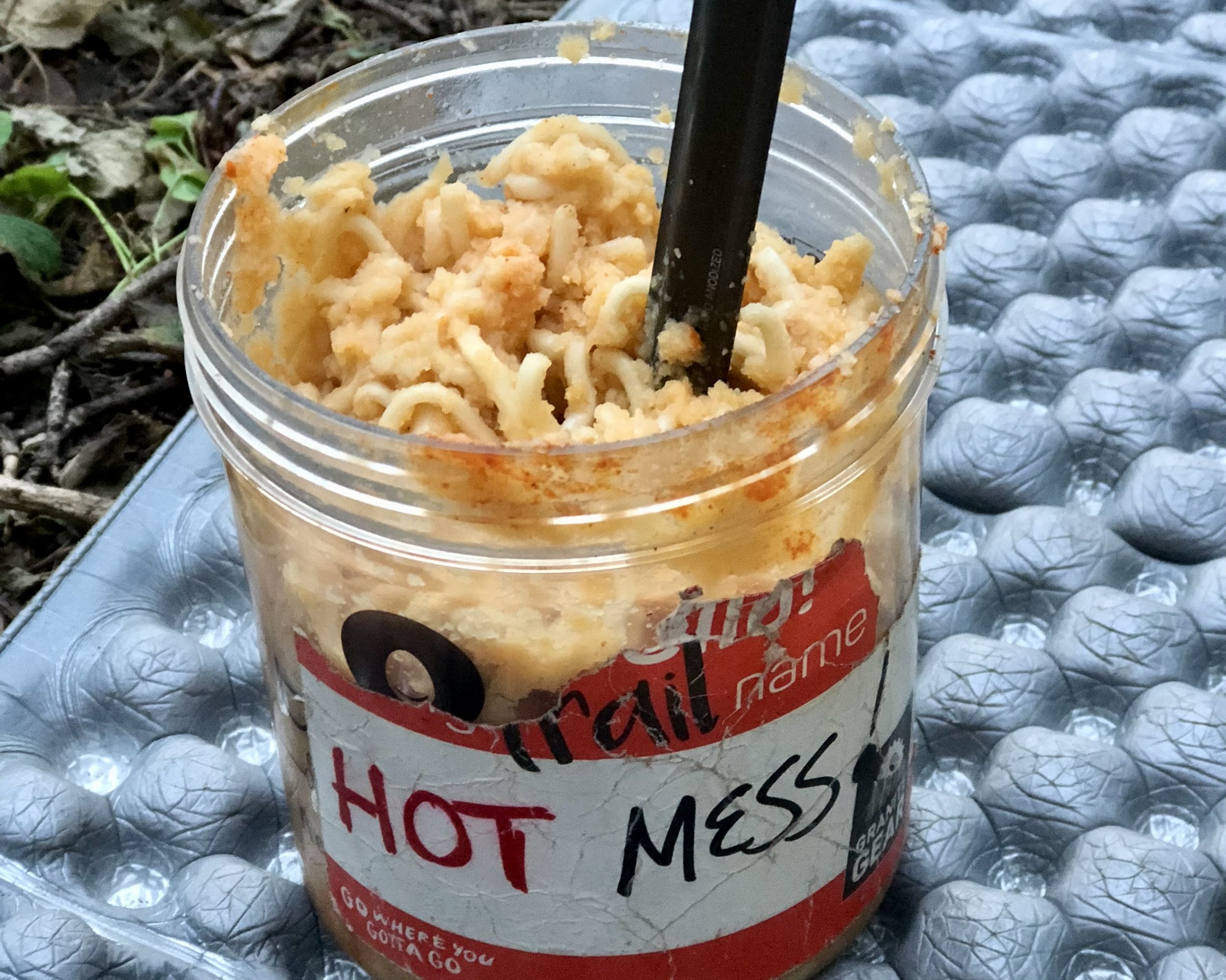
Happy hikers with donuts! LOL, Hot Mess, Swishy, and yours truly (Butters).
In town, they delivered us straight to the grocery store to resupply since most of us needed to shop and mail some food ahead before postal services closed for Memorial Day weekend.
Resupply bought and shipped and canister fuel for the next section purchased, it was time for some lunch (after finding out none of us could check into our hotels yet – we did try to shower before eating). We grabbed pizza at a place near our hotel, and finally returned to our respective hotels to check in.
We spent the afternoon cleaning ourselves, our gear, and our laundry (complete with the very important tub pre-rinse), before relaxing a bit and finally reconvening for a sushi dinner, which all of us had been looking forward to. We were also joined by Dead Zone and CactAss.

CactAss posing with a package of cookies that have a label that looks like a fancy French spelling of her trail name. 😂
Back at the hotel, we used the CBS App to catch up on the season finale of Survivor, the one show we follow. (Yay, Wendell!) Tomorrow we have a full rest day before returning to the trail on Monday morning. But for now, time for glorious sleep in a bed.