Day 15: Return to the Desert
Date: Wed 5/2
PCT Start Mile: 190.5
PCT End Mile: 210.2
PCT Mileage for Day: 19.7
Off-Trail Hike Mileage: 0
Total Mileage for Day: 19.7
Total PCT Mileage: 210.2
Total Overall Mileage: 222.24
The Highlights:winter wake up, lots of wind, bees, and a large rusted pipe

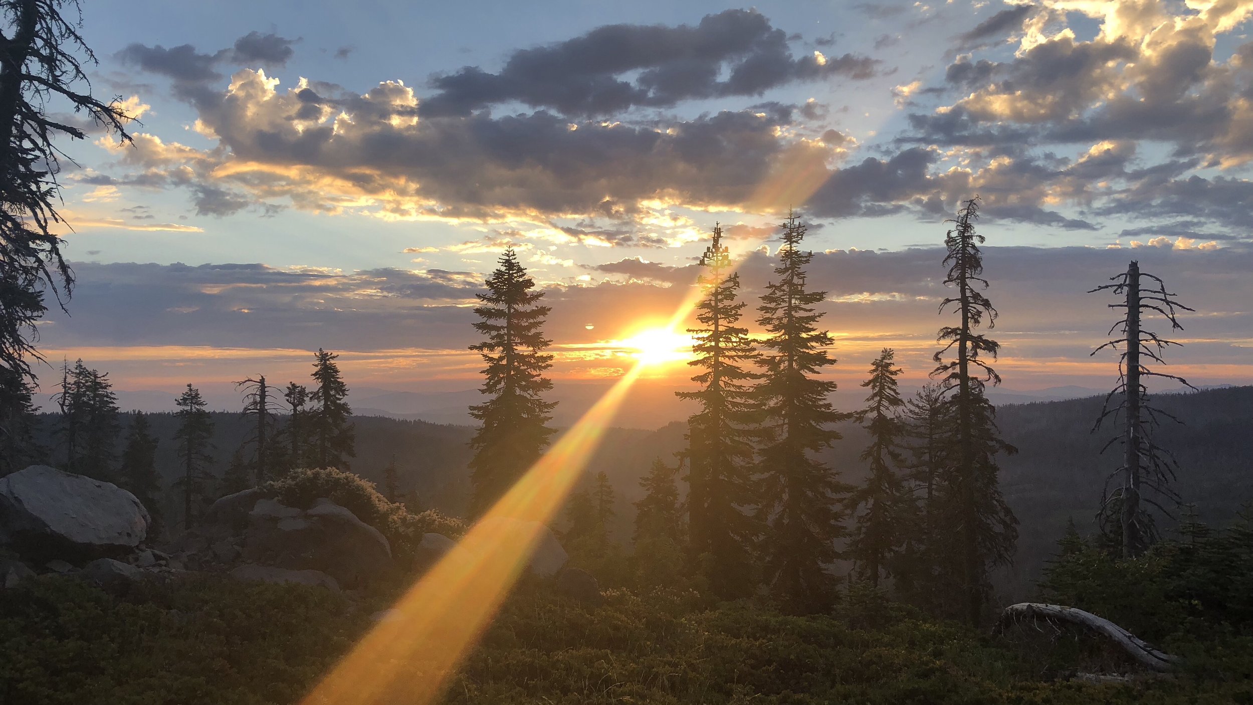
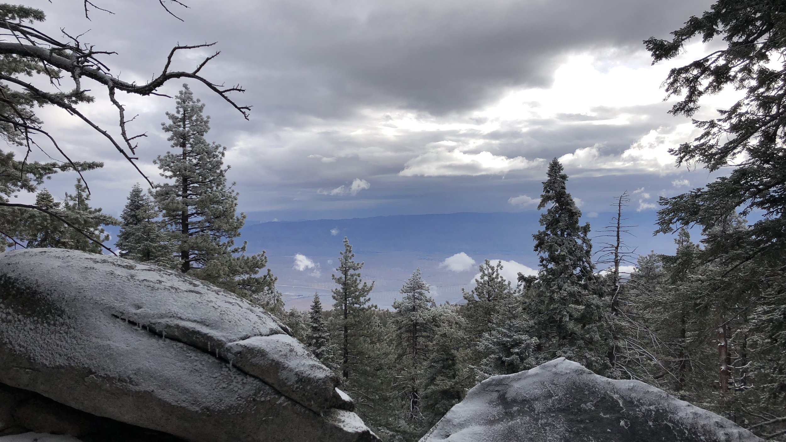
This morning we woke up to “feels like” temps in the 20s and a wintery wonderland. It was a wintery wonderland when we set up our tent last night, but we were too frozen to enjoy it, pitching the tent as fast as possible and thawing out in our sleeping bags. Taking down the tent this morning was also finger-numbing, but once our digits were warmed up, hiking through the snow was a beautiful way to start the day. On our way out of camp, we noticed two tents of hikers that we had heard come into camp later in the evening.
Other than those two tents, we didn’t see any other hikers today, as most had either left Idyllwild before the expected mountain snowfall, or were waiting out the weather. Very few chose to leave town yesterday as we had. Luckily we didn’t get (much) in the way of any other precipitation today; instead the weather element of the day was wind, and lots of it.
Our hike today was basically 19 miles downhill through the mountains to the valley floor. The trail itself was well graded, with long flat switchbacks. Though we started in snow, within the first few hours the environment slowly morphed back into desert, hosting the types of rocks and grasses that keep me on the lookout for rattlesnakes. Fat gray squirrels were replaced by tiny lizards.

Though we were descending into the desert, for the most part it wasn’t very hot, mostly owing to the cold winds that we hiked through most of the day. For much of our hike, we could see a large wind farm with hundreds of wind turbines in the distance. I didn’t have high hopes for the wind dying down anytime soon if that company had done their location research well.

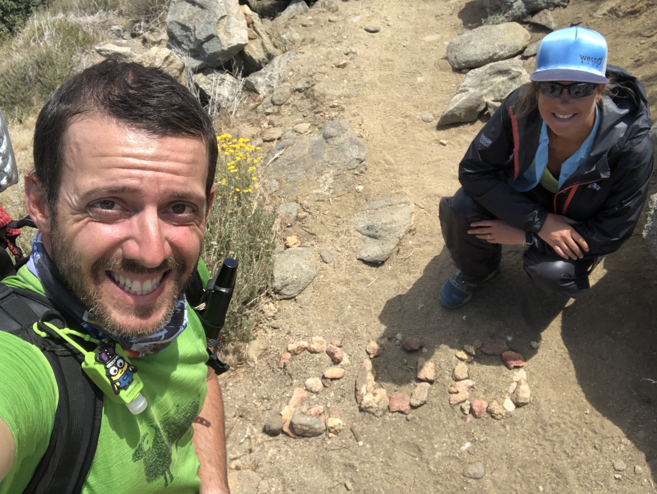
The day was filled with landmarks. First, just under 10 miles into our hike, we hit the 200 mile sign! Two hundo down, lots and lots of miles to go.
The next event of the day was bees. The PCT Facebook pages have been abuzz with chatter about the Africanized bee hive at mile 202-ish; some people had been stung by bees there while others had hiked by unscathed.
There had been a few tips for passage by the hive. The first was to try to time your walk by for the early morning or evening hours, when the bees were less active. It was around 12:30pm as we approached, so … not ideal. Other tips were to cover yourselves fully and only breathe through your nose. I was like a ninja in my black trash bag pants, black rain coat with the hood pulled up, and black rain gloves. I felt like a wrestler trying to make weight, sweating in my rain gear in the desert heat. We heard only a few bees. One might have hit the back of Shawn’s hood. The event was anticlimactic. Probably better than getting stung by bees though.
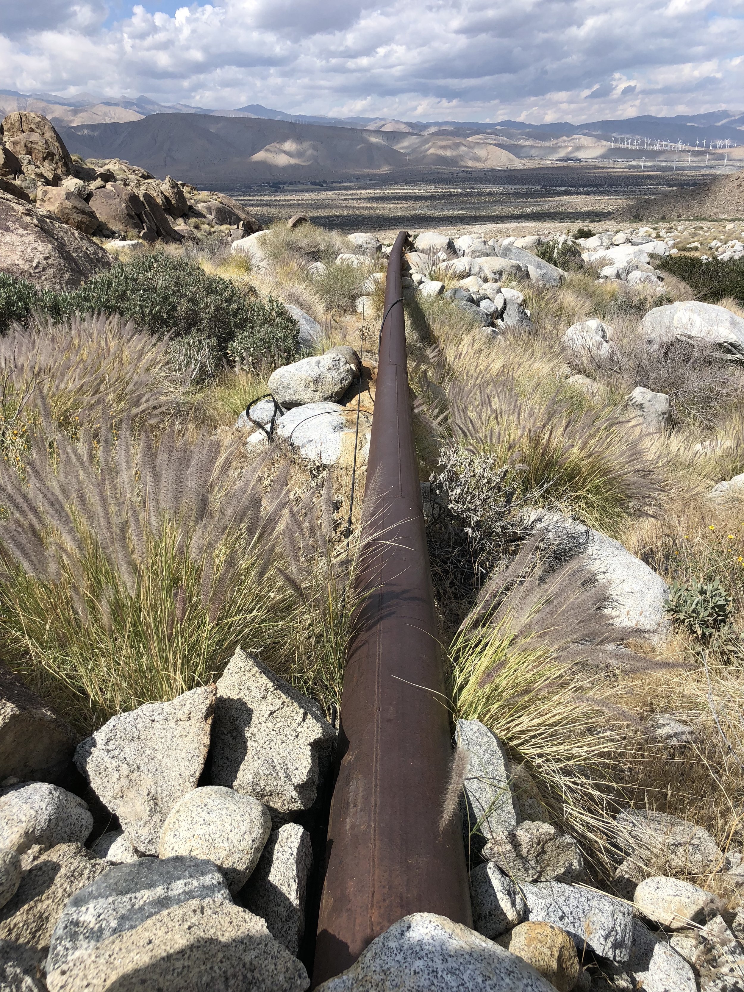
Our next milestone of the day was “large rusted pipe”. For reasons unknown to us, this feature is pointed out on Guthooks, one of the GPS PCT map apps that we use as we hike. Typically it will point out significant features like water sources and tent sites. Why “large rusted pipe” was labeled, we aren’t sure, but Guthooks users had a good time leaving comments.
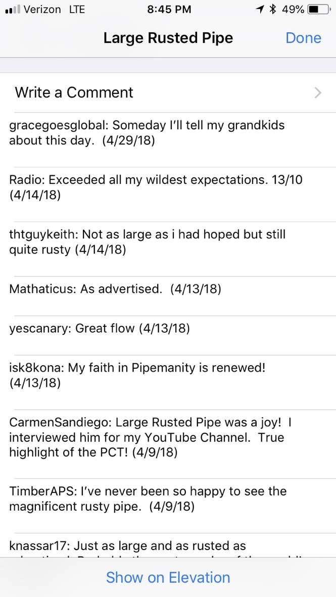
Shawn took the time to add his own comment and we snapped some pics to remember our wonderful time at large rusted pipe.
Not too far down the trail, we made a more meaningful stop at large beige pipe, which had water. This lovely water fountain had been set up in the middle of nowhere for our water needs.

Have you ever tried drinking from a water fountain when it’s really windy? Yeah… took awhile to fill up water here.

The BIG milestone for the day was I-10. The PCT crosses under I-10 at mile 209.5. You see I-10 forever as you are descending from the mountains. And then, when you are finally down out of the mountains, you can still see it in the distance. It looks so very far away.
And it is. To reach the underpass, you have a three mile walk over mostly thick, soft, beach-like sand through low desert scrub that does nothing to block the winds whipping through the valley.
When it finally appears that you are getting close to the interstate, the trail jogs left for a mile, leading you much further down the road to the underpass. As we’d walked the trail toward I-10, we’d kept an eye on the ominous looking dark clouds to our west. One mile from the underpass, they began to spit rain. Thankfully, they did little more than this, and we arrived at the underpass dry.

If the road wasn’t so noisy, we probably would have camped there, right under the interstate. We’d already hiked 19 miles and we were tired. But as it was, with road noise and nearby train tracks, we knew we’d never get to sleep. We did take a short break though, enjoying trail magic left under the bridge, including sodas and orange slices, before signing our names and continuing on.

Thought about camping here…

Luckily, we only had to go a little over half a mile to find a decent spot to camp off the trail. It’s a little windy (the whole area is), but you can’t hear much road noise from here. Time will tell if we’ll hear trains in the night.