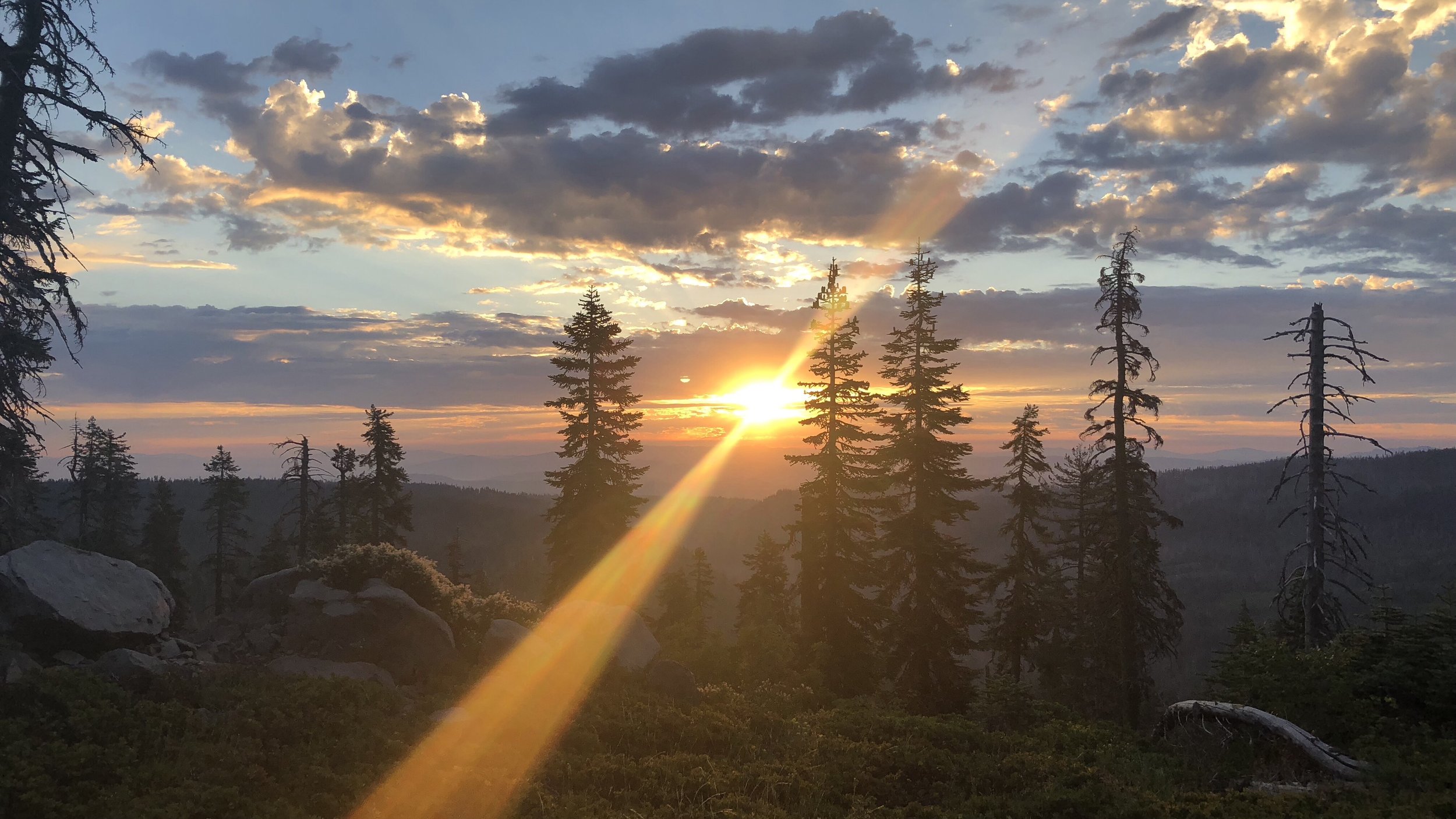
Day 111: The Majestic Crater Lake
Date: Mon 8/6
PCT Start Mile: 1812.7
PCT End Mile: 1839.2*
PCT Mileage for Day: 10.3
Alternate Trail Mileage: ~13
Total PCT Mileage: 1839.2**
The Highlights: Crater Lake National Park

*Actually camped on the alternate trail, about .3-.5 miles from the PCT junction at mile 1839.2; more explanation in blog.
**For those paying attention to the numbers, you’ll notice today’s PCT start/end mile points and the mileage hiked don’t add up. This is due to the mileage differences and junction point for the official PCT and the Crater Lake Rim Trail Alternate; more explanation below.
Today we hit the trail at 6am as usual. The morning hike included more trail through the burn area of a past wildfire and, like yesterday, this landscape included a lot of obstacles as we hiked around and over downed trees.

Within the first hour of our hike, we entered Crater Lake National Park. Later we would hike up to the rim, but first we would stop through Mazama Village at the base of the climb to the rim.

By 9am, we’d hiked 9 miles along the PCT through mostly burn area and some healthy forest, to arrive at the Annie Springs Trail Junction, where we detoured to head to Mazama Village.
The trail was maybe 2/3 of a mile and we cringed at the steep downhill, knowing that within a few hours we would be hiking back up the trail with a full resupply of food and water. From the trail, we had about another 1/3 mile walk along the road into Mazama Village.

Mazama Village is one of two village areas in Crater Lake National Park, the other one – Rim Village – we would pass through later after our climb to the crater rim.
Mazama was a hub of hikers – with a campground, a small village store that held hiker packages, a restaurant, laundry, showers, water, and a charging station (for phones, etc.), nearly every hiker stopped through. Even if you didn’t need the bulk of the services available, most hikers at least had to pick up (or purchase) their resupply for the next section here.
Walking in, it was like a mini reunion of hikers, with more filtering in throughout the morning. We talked to Megan, Mowgli, Mateo, Casey, Upstream, Huck and Hiccup (who we’d camped near last night), Dingo, Happy Feet, Avatar, and several other hikers we knew. Between all the reunions, we got down to business – taking care of our laundry, picking up the resupply box we’d sent from Ashland, and repacking our food bags.
While our clothes were in the dryer, we also walked into the campground to take some fairly unpleasant – but cleansing – luke-cold showers. With only a very small cloth to dry with, I was still mostly wet when I put my rain gear (laundry time outfit) back on and hurried out into the sun. I flapped my arms like a flailing bird, drying myself and my raincoat out as I walked down the road back toward the village shop. By the time I returned, I was dry 🙂 And, luckily, so was our laundry.
Our last order of business in Mazama Village was lunch. We headed over to Annie’s Restaurant for burgers and fries. As soon as the food arrived, I felt like I was going to town, wolfing it down.
Eventually, I looked up from my plate, with still about half my burger and most of my fries left to eat. Shawn’s plate was already empty. He had a slightly guilty look on his face, having already destroyed his meal. I’m not sure how he does that, but he can’t possibly be chewing. I was stuffed by the time I finished my plate, even giving Shawn some of my fries. I am obviously not very good at being a hiker. Shawn could have eaten an entire other meal without a second thought.
With happy full tummies (at least mine was full), we put our hiking shoes back on and hefted our packs, heading back to the trail.
After climbing back up the steep Annie Springs side trail, we rejoined the PCT, but only for about a mile before detouring onto an alternate trail.
The official PCT traverses through Crater Lake National Park, but does not actually go up to the rim. However, there is an alternate Rim Trail that deviates from the official PCT, climbing up to and traversing around about 6-7 miles of the crater rim, before rejoining the official PCT after descending from the north end of the crater rim. Nearly every hiker takes the alternate. You’d have to be stupid to be so close to Crater Lake and not go to see it.
Since basically every hiker takes the alternate to Crater Lake, at this point the official PCT is mostly considered the horse route through the park, with the alternate Rim Trail considered the hiker route. In case we were torn about which trail to take for some reason, this year the decision is made for us because the official PCT trail through the park is closed due to fire damage, so we’d have to take the rim trail anyway.
And so, we hiked our happy butts up to the rim. The trail alternated between steep and more gradual slopes and I eventually let Shawn go ahead, both because I was moving slow and because I felt bad for crop dusting him all the way up the trail. Particularly on the steeper sections where, with me in front, his face was basically at my butt level. Musta been something in the burger.
Hikers are a gassy bunch. It doesn’t help that the hip belts of our packs, as far as I can tell, press right into what I call the fart maker. Apologies for all the gas talk, just trying to keep it real. This is our trail life.
Arriving to the rim, we made a beeline for… the Rim Cafe. The lake could wait. We could already tell the view would be covered by smoke, and there were cold sodas to be had. I mean, we’d hiked like four miles since we left Mazama Village, clearly we needed refreshments. All the way up the trail, all I could think about was how full I was, how I wouldn’t even be able to eat dinner. Shawn, on the other hand, immediately bought a hot dog to wolf down. He is much better at this hiker thing. I got an unsweetened iced tea.

Epic lake views from the cafe. 😕
We sat in the upstairs area of the cafe, which no one seemed to know about other than hikers. Cold drinks in hand, we sunk into two cushy arm chairs by the front windows, overlooking the lake. Oooo, these chairs were comfy. We might never leave. The views of the lake wouldn’t be what kept us there though, because there weren’t any. We looked out at a white smoke screen. No lake to be seen.
Eventually we decided we should probably start hiking, and peeled ourselves out of the chairs. I don’t know why I continue to be surprised by stupid assumptions I have about hiking and terrain, despite all of the trail experience I’ve gathered over the past three and a half months, a lifetime of outdoor adventures, and even geography and environmental science degrees. But, somewhere in my dopey brain, I thought, it will a climb to get up to the rim, and then it will just be a stroll along the rim, and we’ll descend the other side. In my mind, it would be an easy hike along a flat rim, as if all sides of the crater would be the exact same elevation… a perfectly symmetrical caldera. (Cue laughing). And, with this in mind, we topped off our fountain drinks, in a plan to stroll with them around the rim trail.

A faint view of Crater Lake. Keeping my foggy view streak alive.
The trail near the Rim Village actually started out paved. Man, this hike is going to be cake. We snapped some pics with the lake in the background – in other words – with a white screen behind us.
Friends and family in the know will laugh at this because, these are often the types of views I get when visiting what should be stunning attractions with spectacular vistas – Machu Picchu, McAfee Knob – all complete fog. There are others. This is a trend for me. Had we not known that Crater Lake was likely to be covered in the smokey haze from nearby wildfires, we might have been pissed. But, since we knew this was likely to be the case, we had already resigned ourselves to it and actually found the situation somewhat comical – keeping up my streak of terrible views.

The obligatory Crater Lake selfie. 🧐
Continuing down the trail, it changed from pavement to dirt. What!?! We kidded… we aren’t here to hike in dirt! And then the trail began making steep ascents and descents along the jagged terrain along the rim. Why had I ever thought this would be flat? The rim was absolutely anything but flat. I’m an idiot. I thought we were going to walk around this thing like the smooth rim of a bowl. Now I was huffing and puffing and spilling iced tea all over my face every time I tried to take a drink.
Along the way we took more pictures of the majestic Crater Lake.

Absolutely stunning.

Here is a reference of the surrounding landmarks so you can identify them in the next photo:

Can you identify the peaks surrounding Crater Lake?

All kidding aside, it was definitely a bummer that we didn’t get any views of the lake along our hike. The Rim Trail was actually pretty nice (other than all that steep crap), and we will definitely need to come back one day.
The trail did eventually flatten out more – moving away from the rim and then weaving closer again. Actually, the smoke got worse as the afternoon and evening wore on and while we had originally thought some of the wind might actually help to clear out the smoke, it actually seemed to make it worse, blowing more smoke into the area.

Finally the trail split from the rim and began its descent back into the forest. Tonight we are camped along the alternate trail, less than half a mile from the official PCT, which we will rejoin in the morning. Despite the smoke, it was still a fun hike and we definitely look forward to returning to Crater Lake one day!