Day 59: Pinchot and Mather Passes
Date: Fri 6/15
PCT Start Mile: 804.4
PCT End Mile: 828.5
PCT Mileage for Day: 24.1
Total PCT Mileage: 828.5
The Highlights:
Today we were up early and hiking out of camp at 5am. We had two passes to tackle for the day and we needed to get a move on.
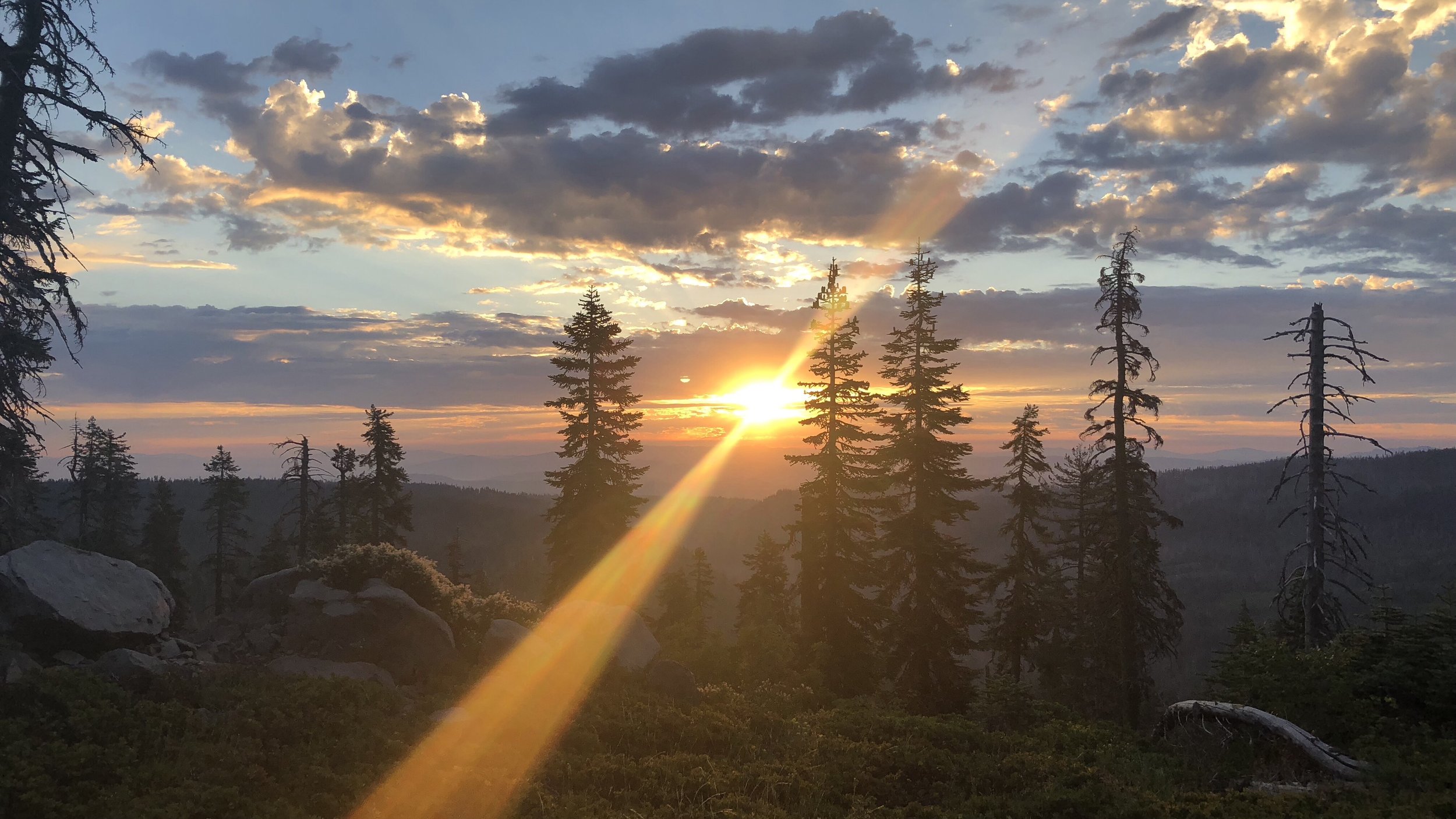
Along our 2.7 mile hike to the top of Pinchot Pass, we watched the sunrise illuminate the mountaintops, a beautiful site.
I think I actually blocked most of this pass from my brain, because as I sit here trying to remember the details about it, I can’t.
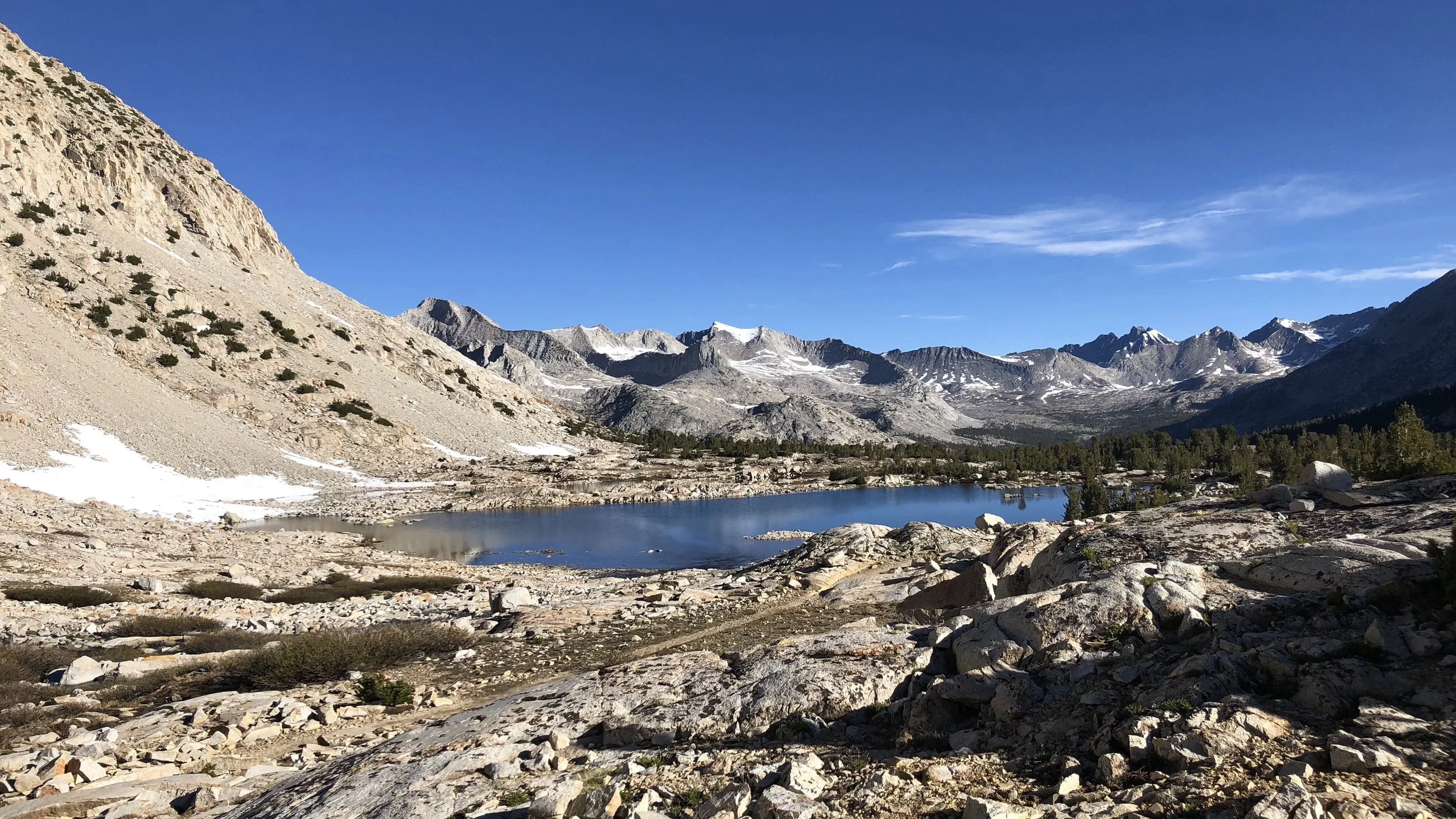
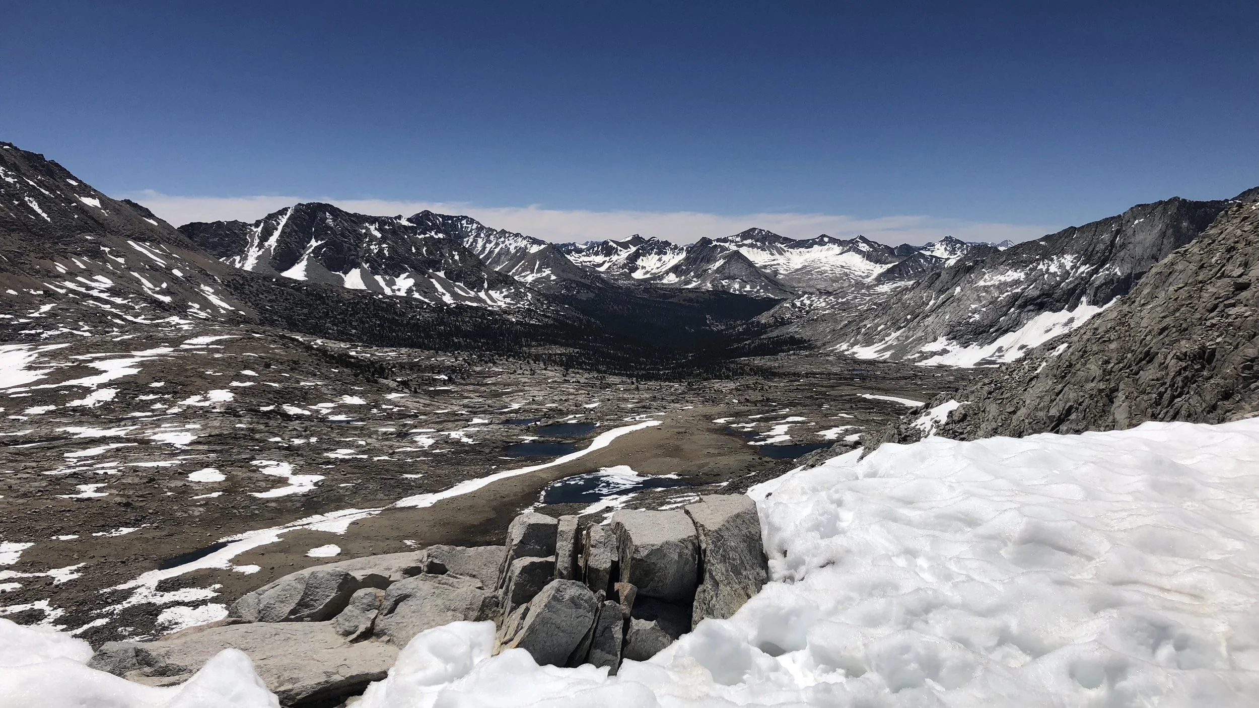
The pass topped out at 12,107 ft and, while the climb to it was steep with some snow fields, it didn’t involve much difficulty technically, fine with us. The north side of the pass also didn’t provide much difficulty and we were soon walking easily down the trail.
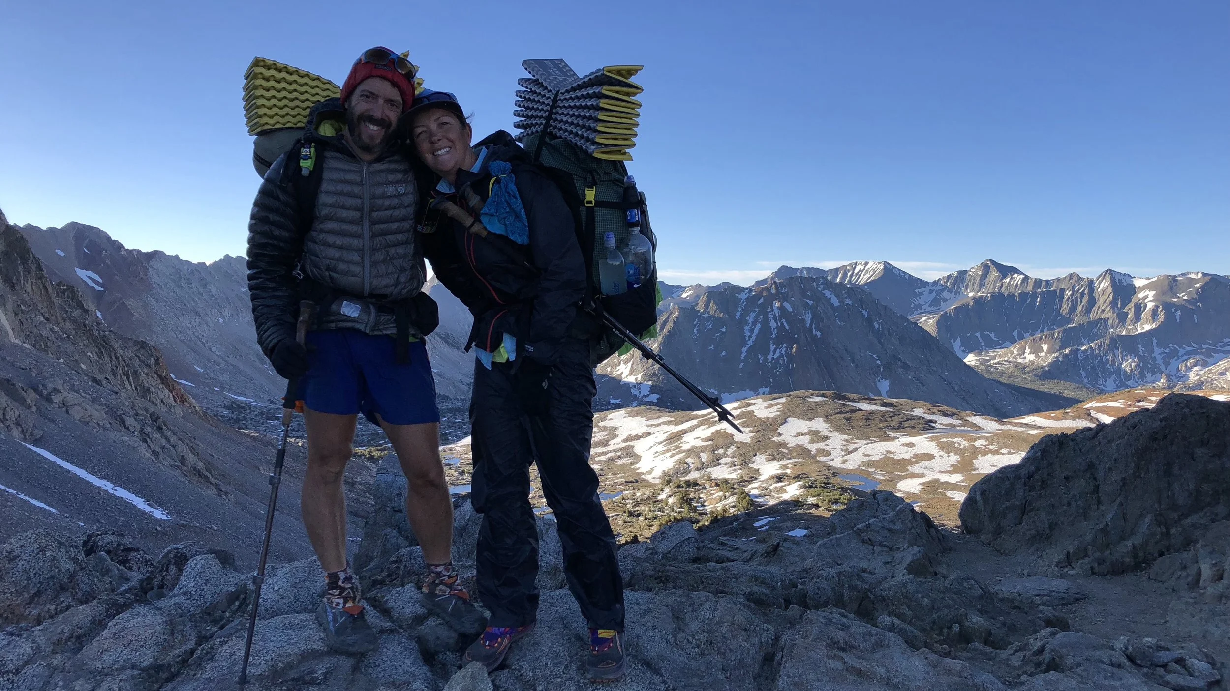
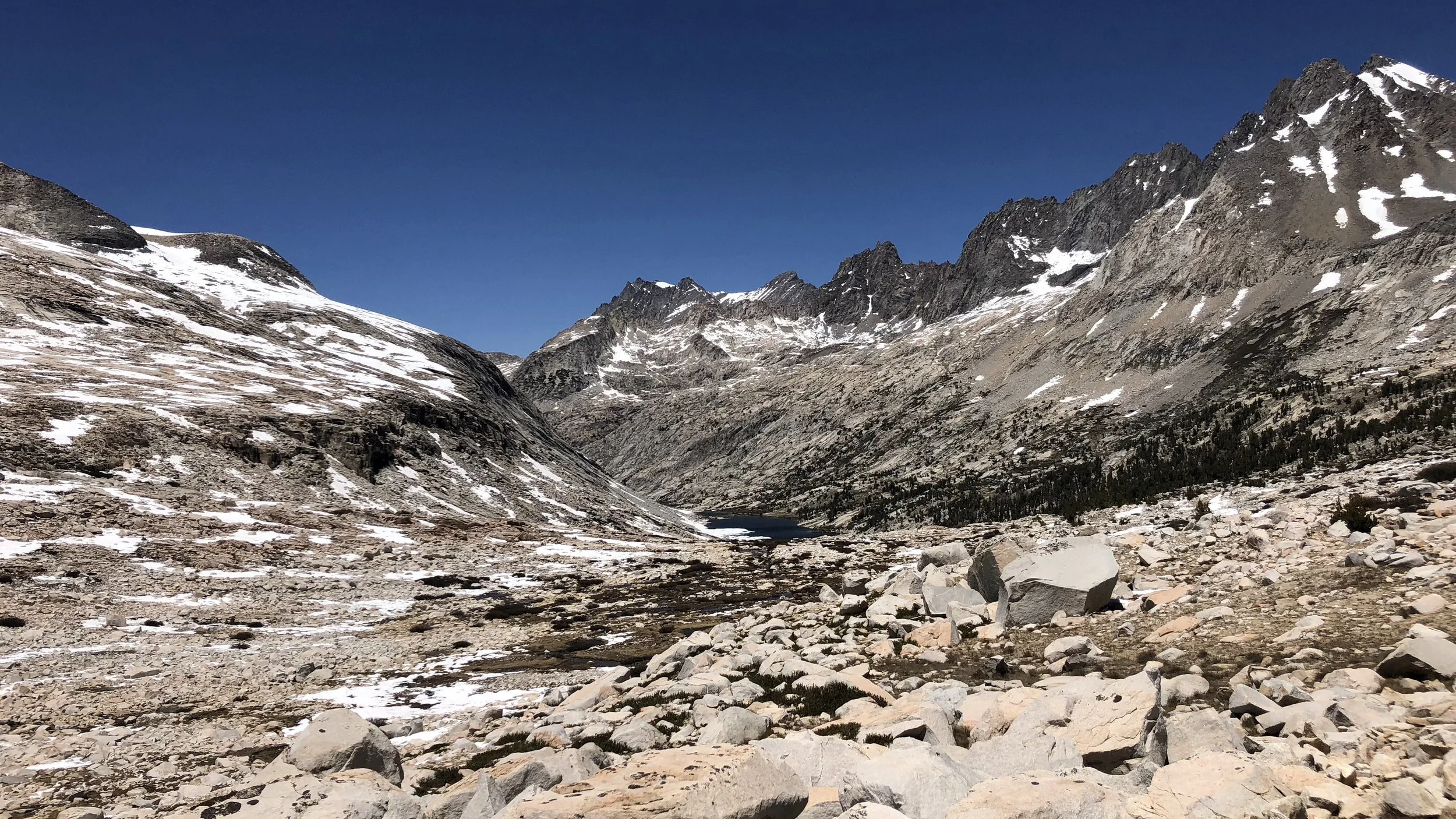
At the top of Pinchot Pass
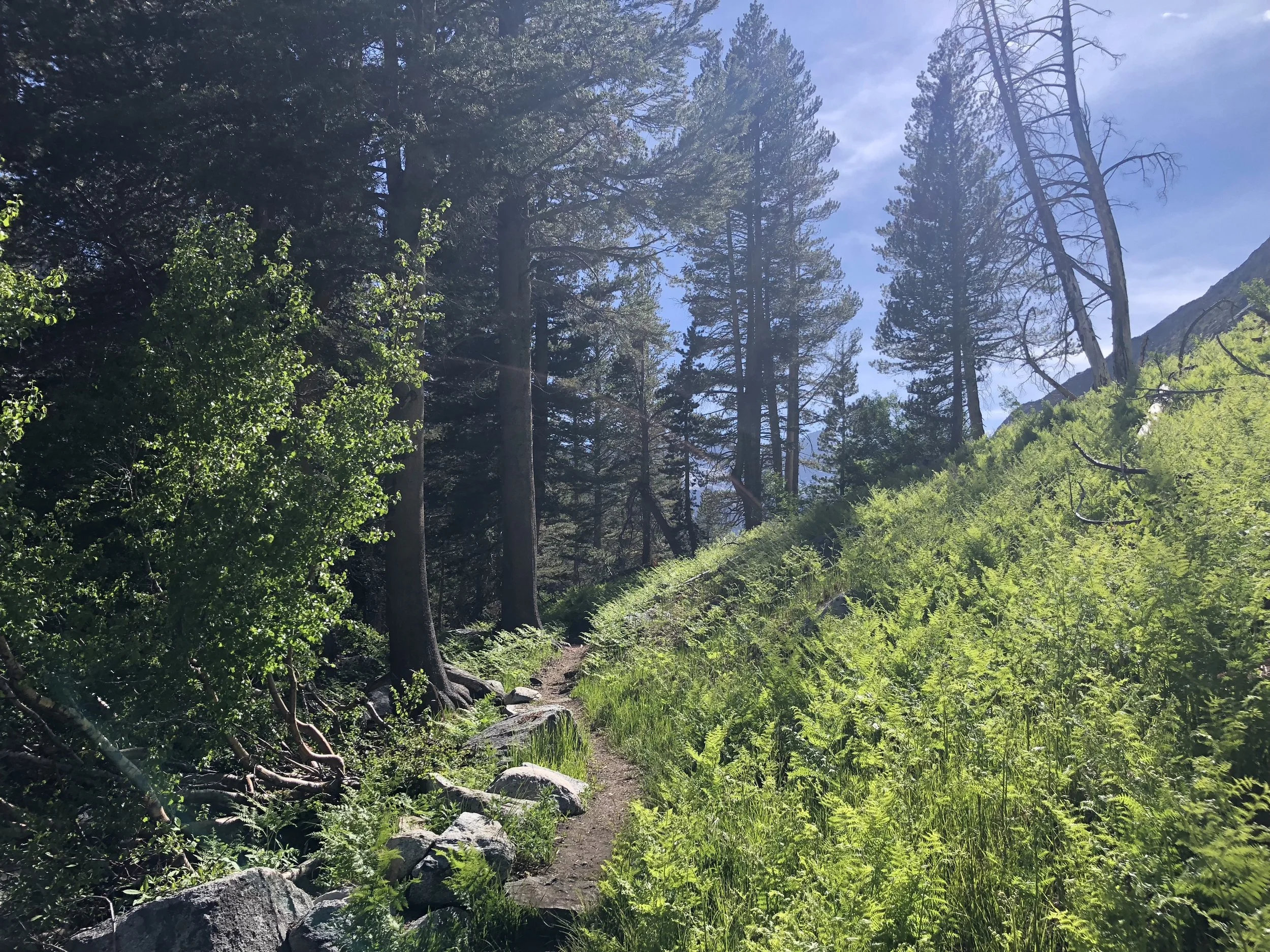
The descent from Pinchot was about 4 miles, ample time to begin our river crossings for the day, because no day in the Sierra is complete without wet feet.
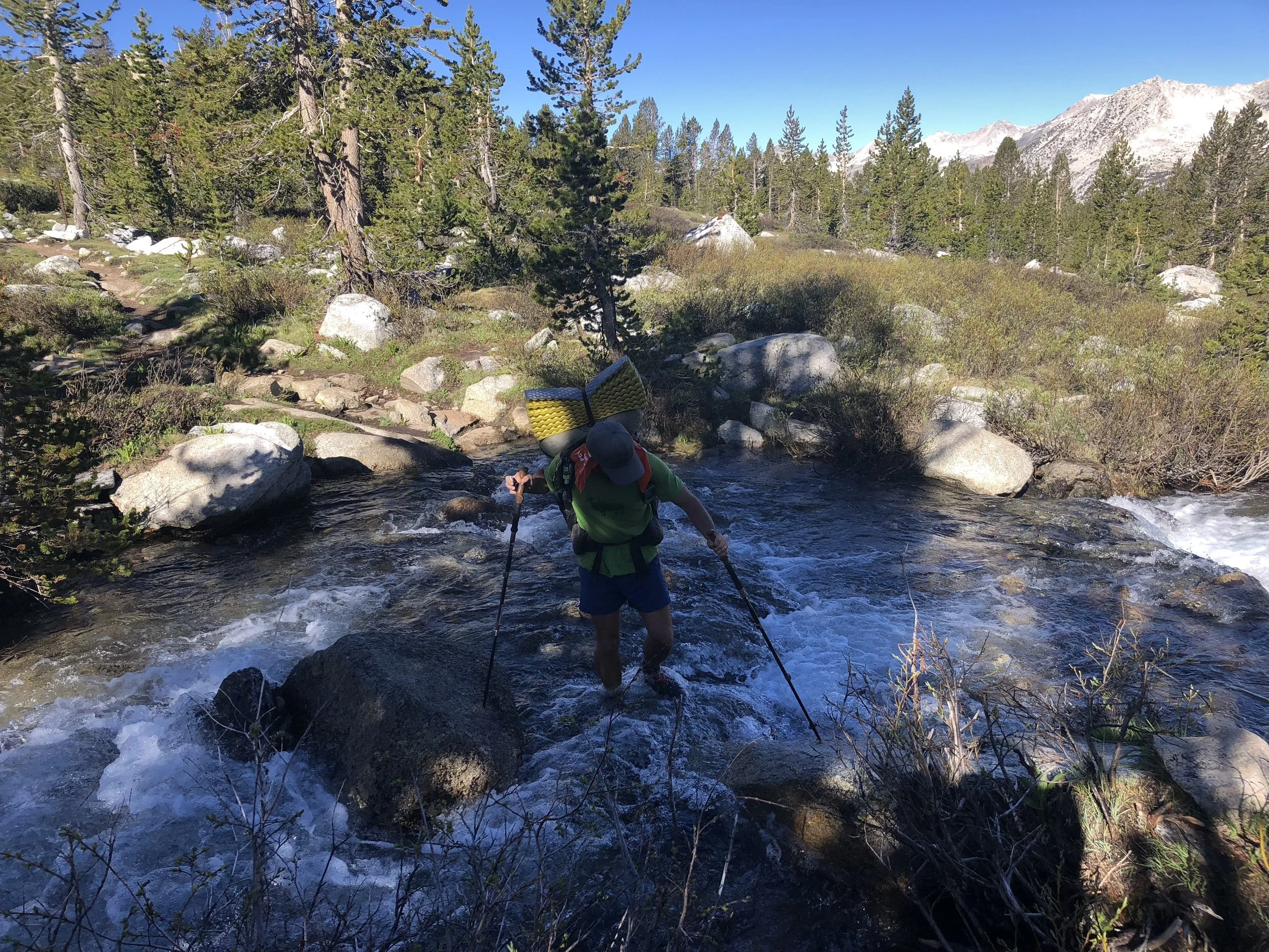
We bottomed out around 10,000 ft with a river crossing. The South Fork of the King River was swiftly flowing and our most difficult crossing thus far, as we braced ourselves against the swift current in the middle of the river, being careful of our foot placement on the rocks.
It did not help that mosquitos were landing on my face through this crossing as I needed both my hands to steady myself with my trekking poles during the crossing. All across, with feet and legs numb from the knee down from the biting cold water, we warmed them up by practically running the next mile to get away from the swarms of mosquitos. Sometimes nature is a little too nature-y.
The climb to our next pass – Mather – was six miles ascending to 12,094 ft.
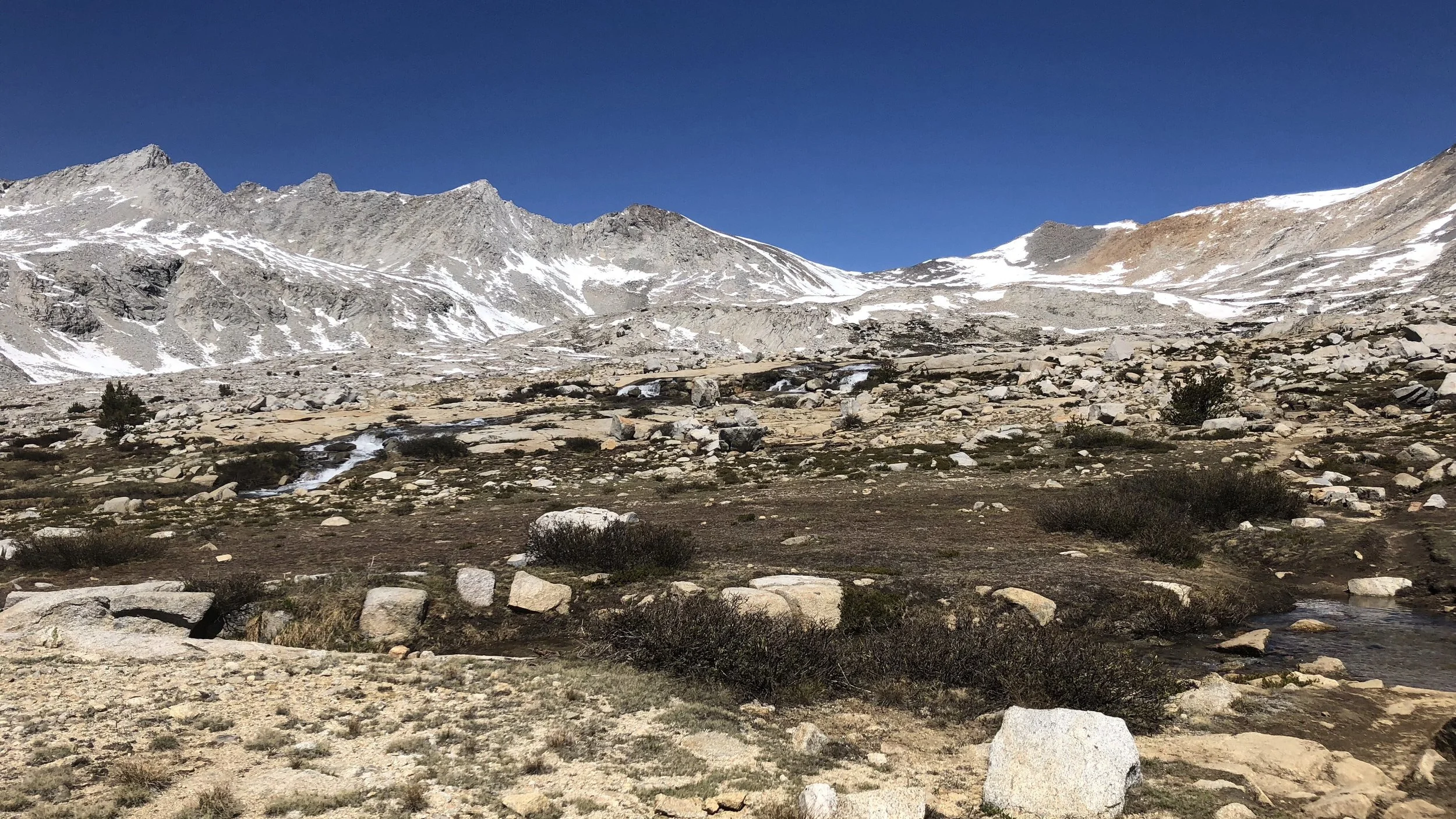
This climb was mostly far less steep than yesterday and this morning’s climb to Pinchot, until we neared the final ascent to the pass. Crossing over several snow fields, we eventually scrambled up the rocky mountainside to the first visible switchback, the lower portions of the trail covered in snow.
Finally on the switchbacks, we weaved our way to the top of the pass, with a final climb up the snow to reach the top. The views from the top were spectacular, as they have been from every pass.
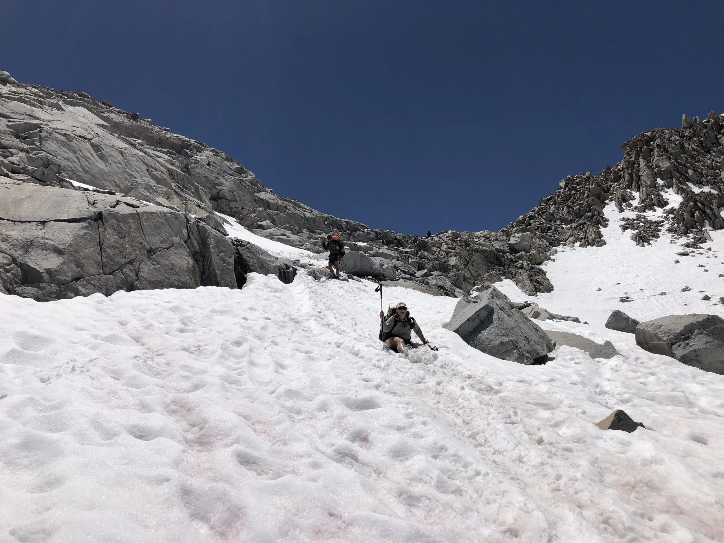
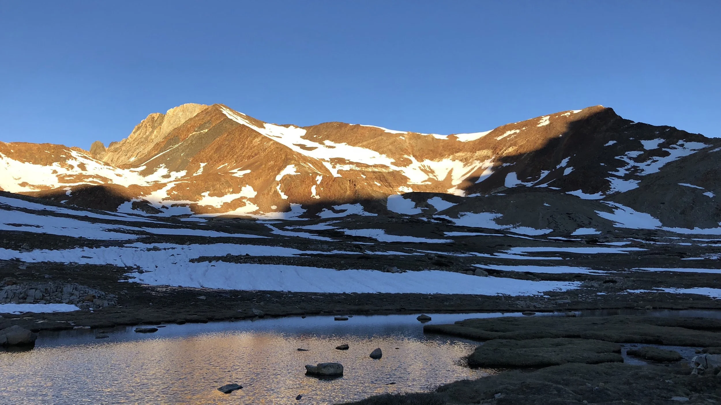
Squishy glissading down part of Mather Pass.
We quickly ate a snack, but did not linger, wanting to get through the snowy portions of the descent before it got any later in the day, warming the snow to slush. We had arrived at the top of the pass at 11:45am.
The descent involved several horizontal and sloping snow fields, as well as numerous steep rock scrambles between the snow fields. Definitely our sketchiest descent yet, and we were happy when we made it back to dirt trail and were past the snow. And, we could finally take a lunch break, which also included drying out gear, since we had woken up to a lot of condensation on our tent.
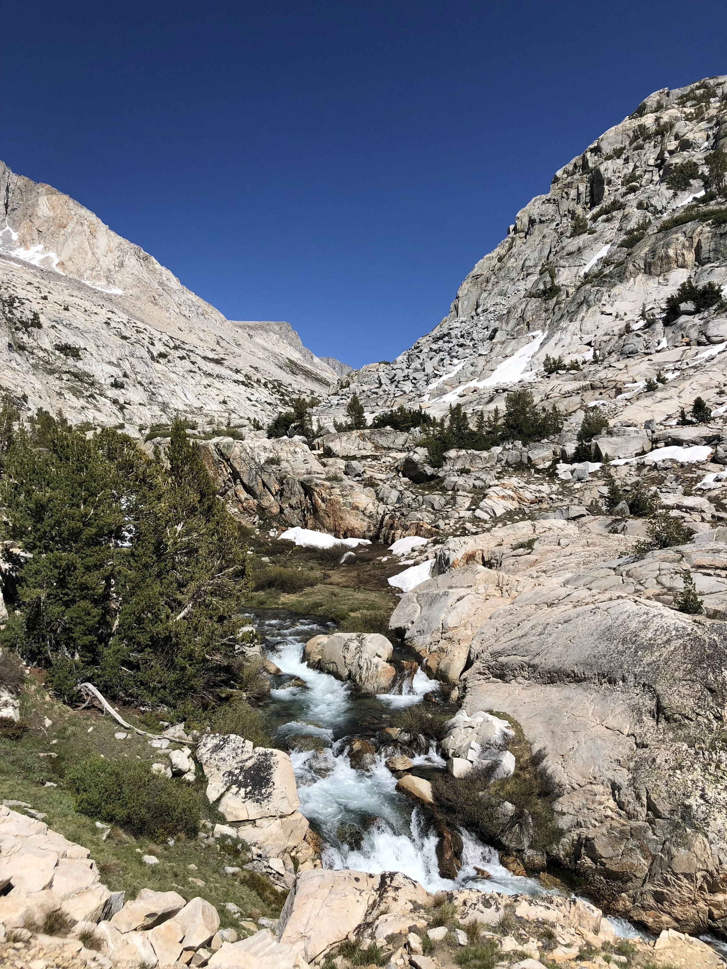
The remainder of the day was mostly a long descent of 10 miles, taking us from the 12,094 ft top of Mather Pass all the way to 8,000 ft. The descent offered stunning views of the valley, the Palisade Lakes, and the rushing Palisade Creek. Another “creek” complete with rapids and high waterfalls.
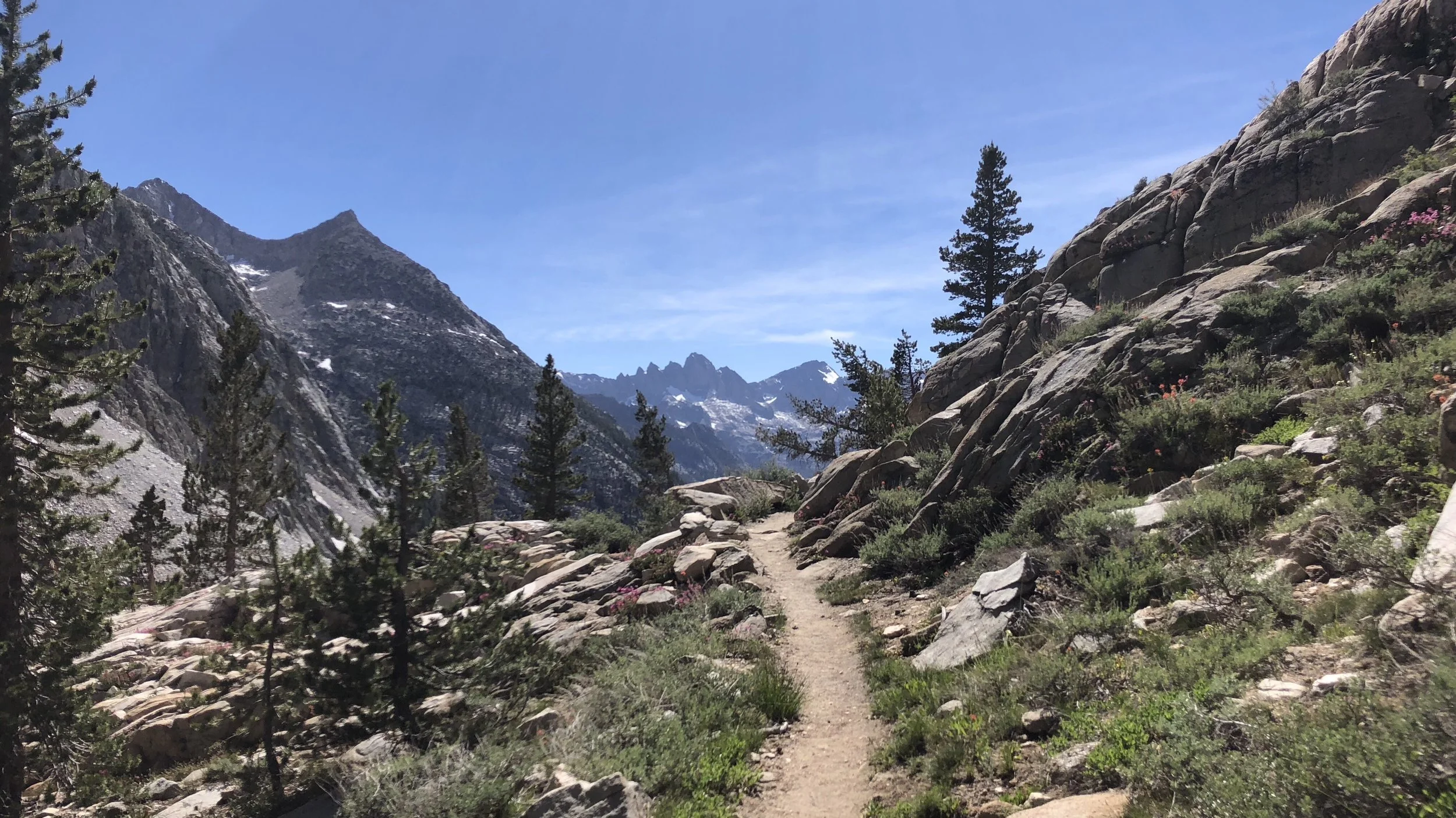
The afternoon also afforded us ample opportunity to keep our feet wet crossing streams, walking through streams IN the trail, and water and mud puddle hopping. Dry feet in the Sierra is not a thing.
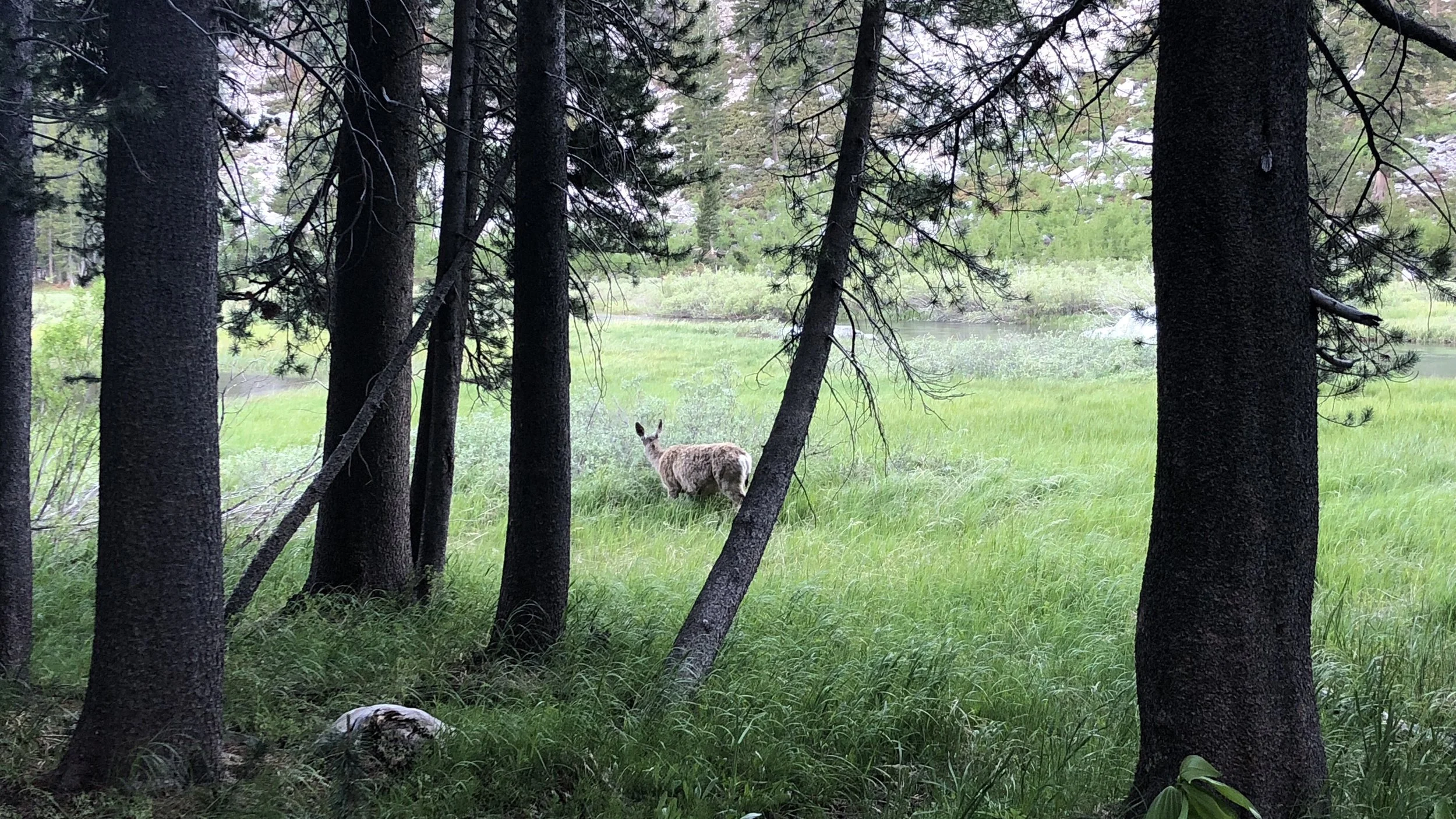
Finally to the bottom of the descent, we hiked one more mile, starting up the next climb, to a tentsite for the night. A deer beside the trail greeted us, munching away at grasses in the meadow.
We quickly set up camp and ate dinner. Tomorrow is going to be another very early morning as we head for Muir Pass.