Day 130: Goat Rock Wilderness, the Knife’s Edge, and the Alternate Alternate
Date: Sat 8/25
PCT Start Mile: 2255.7
PCT End Mile: 2278.6
PCT Mileage for Day: 22.9
Alternate Mileage for Day: 7
Total Mileage for Day: 29.9
Total PCT Mileage: NA*
The Highlights: see title 🙂
*There is a fire closure along the section we hiked today, so our day ended on an alternate trail, explained more below. I’ll update the current mile we are at when we rejoin the PCT.

Today began very chilly. We packed up camp quietly and walked out while the rest of the hikers slept. I was so jealous. Oh to be back in my warm sleeping bag… instead I spent the first couple hours squeezing my hands into fists, trying to warm them up in my gloves. I do like getting an early start, but it can be hard to get out of the sleeping bag on these cold mornings.

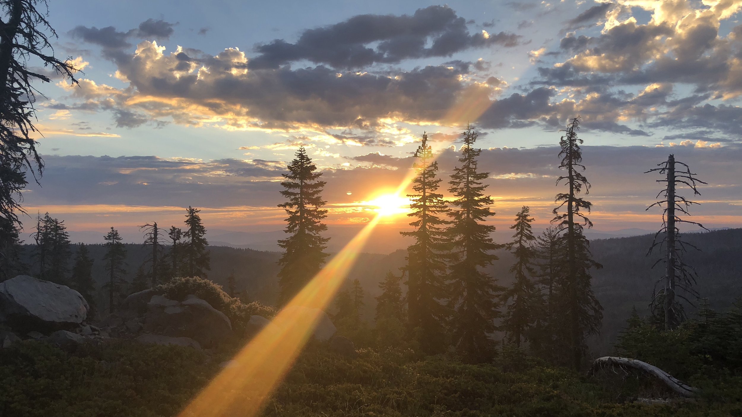
An epic morning view before the fog rolled in.
We had a few brief views in the morning, but otherwise the day started very foggy for the first few hours. Not far into the morning, we entered the Goat Rocks Wilderness area. This is known to be super scenic, so the fog was not a welcome guest.

Fortunately for us, as we broke from the forest and hiked onto a rocky ridgeline with expansive views, the fog began to slowly clear, leaving misty views of the surrounding mountains. While not clear skies, it was a gorgeous scene.


Continuing through the Goat Rocks Wilderness, we hiked high to Cispus Pass and descended along a trail passing creeks and waterfalls.
Just after noon, we took our lunch break at a campsite overlooking the valley. I cooked my first hot lunch since Day 4 on the trail, hot applewood smoked mashed potatoes with real bacon pieces. OMG, hot mashed potatoes are so much better than cold soaked ones. Why did I ever start making them cold. I’m never doing that again.


Finishing up our lunch break, the sky cleared, the sun came out and it was actually warm. I stripped off the rain coat and pants I’d been wearing for warmth. With a 2.5 mile climb, I was actually getting hot. Suddenly my body wanted all the water I’d been depriving it of when I was too cold to be drinking as much water as I should have been.
The clear sky views were awesome. I thanked the sun for making an appearance. Thank you, thank you, thank you. I will never complain about hot days again. Please stay.


Unfortunately, the sun did not get my memo.
Meeting Shawn at the top of the climb, a thick fog was rolling in from the other side of the mountain. Visibility decreased to only 30-50 meters as we made our way onto the Knife’s Edge, a thin slice of trail that cut along a mountain ridge for a mile and a half through Goats Rocks Wilderness.
Having seen other’s pictures of the views from this section, we were a bit crestfallen at our luck. To the east, there was nothing but a wall of white, and to the west, very sparse views. The wall of white was also whipping eastward with the high winds that were now numbing my legs and face.


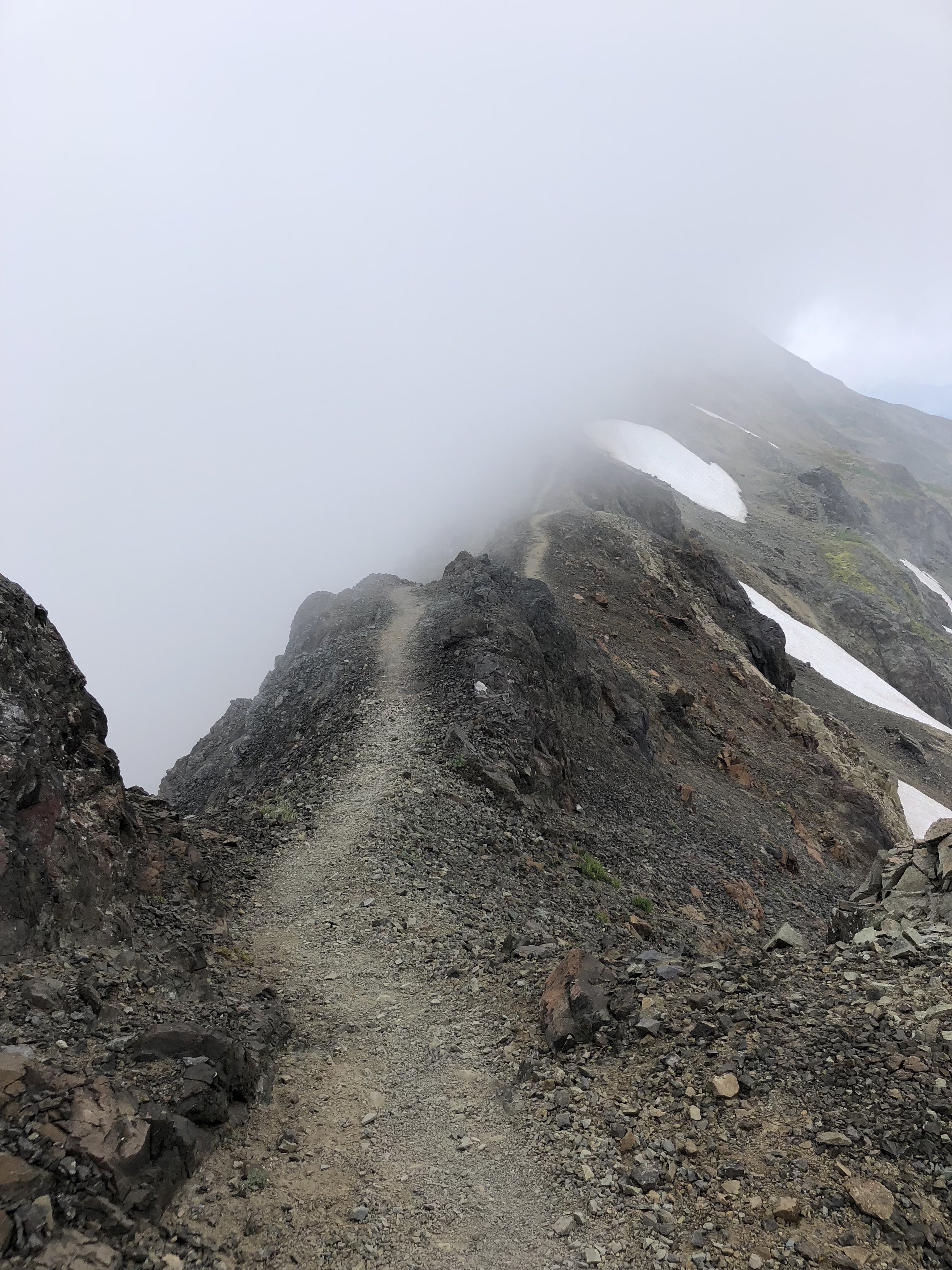


While disheartened by the lack of views, the crazy weather was still an experience unto its own. We will definitely need to revisit the Goat Rocks area someday for the views, though. Maybe the same trip we make to visit Crater Lake. 😆

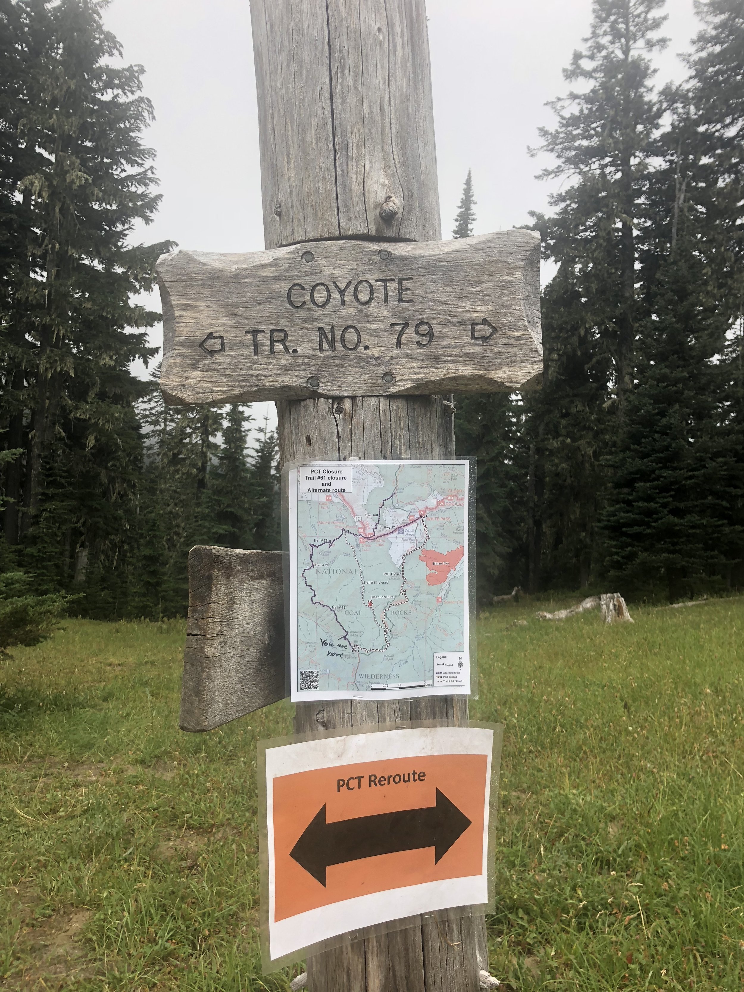
At Elk’s Pass at the end of the Knife’s Edge, we detoured off the PCT. The upcoming section to White Pass was closed due to the Miriam Fire.
After closing this section of trail, an alternate had been posted, which subsequently was also closed after another fire started on/near this trail. So, we were now taking the alternate alternate route to White Pass, which included three other trails: the Coyote, Packwood, and Clear Lost trails, which tracked far west of the fires and trail closures.

The alternate alternate from Elk’s Pass to White Pass is the west-most solid black line.
Speaking with some southbound hikers and locals earlier in the day, we had learned that the alternate alternate route, while very stout, was far more scenic than the actual PCT through this section anyway.
While this was awesome news, it didn’t matter much for us because we were back to hiking in a cloud through a thick wall of white fog. A very wet thick wall of white fog. A very wet and windy wall of white fog. Soon it was very cold and we were very wet. Our feet were as soaked as they had been through the river crossings of the Sierras. My fingers and toes were frozen. This type of hiking was not much fun.

The alternate alternate was also quite challenging, with very steep climbs and crumbing trail. Completely hikeable, but a lot of work.
We continued through the cold, wet rain and fog for seven miles to camp at the reportedly gorgeous Lost Lake. We definitely picked up more on the Lost portion of the name, since in the fog we could only see the lake when we were standing on the very small beach at its shore. And even then, we could only see about ten meters out or so. Definitely lost. We have no idea how big the lake is. Or small.

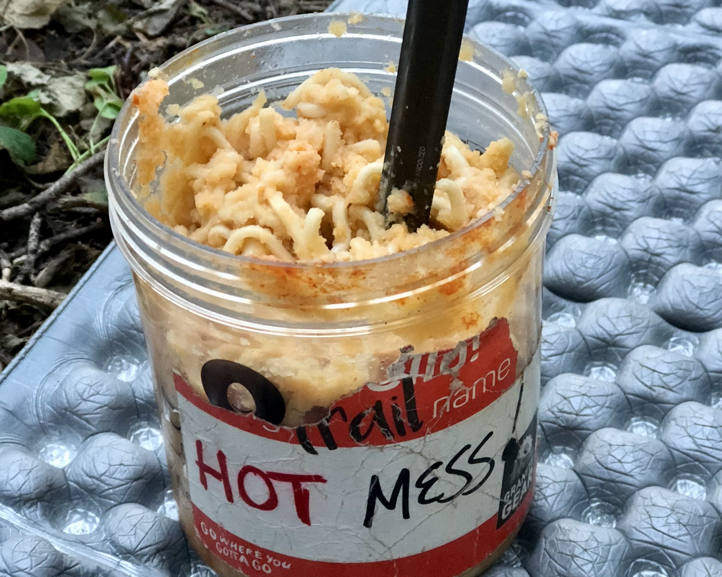
We quickly found a tent site back from the lake in the trees. Luckily the rain had stopped for a bit and we were able to set up while the sky was relatively dry. I hurried into the tent to put on all my warm dry layers and got into my sleeping bag, carefully cooking my mac n’ cheese dinner in my vestibule.
Finally warm, dry, and fed, I was a happy camper. We listened to the raindrops fall on our tent, all bundled in our sleeping bags and resolved that we’d sleep in a bit tomorrow. Music to my ears.