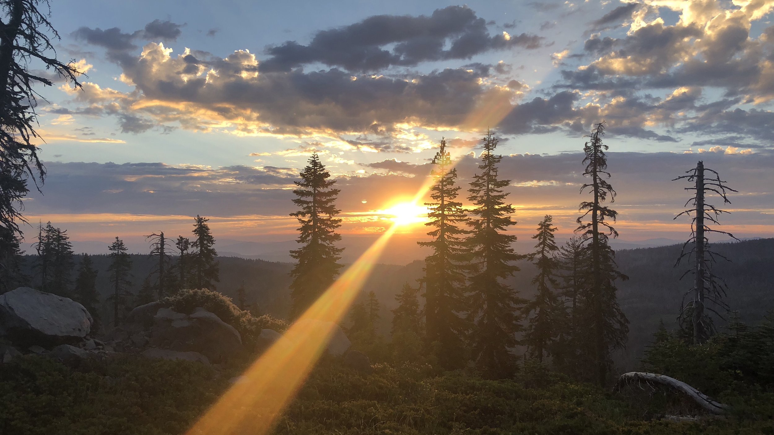
Day 109: Volcanic Landscape
Date: Sat 8/4
PCT Start Mile: 1750.6
PCT End Mile: 1781.5
PCT Mileage for Day: 30.9
Total PCT Mileage: 1781.5
The Highlights: beautiful volcanic landscape

This morning dawned cold. While I love the great sleeping temperatures of the cold nights, I am not a fan of cold mornings. The ability to still see the moon shining brightly makes it doubly hard for me to want to get going in the morning. But… eventually I pull myself up to change and pack up and we hiked out by 6am as usual. My fingers took a very long time to warm up, even with gloves on. The smell of smoke in the air was heavy. I wonder what my lungs will look like after this hike.

At our first break to collect water, we officially met the other hiker who had been camped near us last night. Her name is Avatar. While I’d figured we would leapfrog a bit and see her again later in the day, this was the last time we saw her for the day.
We did leapfrog with Huck several times though. Originally from Mississippi, I believe, we had met him back at Kennedy Meadows North and seen him off and on since then, most recently in Mt Shasta. Considering that we were keeping a three mile pace and he went on by us like we were standing still, I guess he’s a fast hiker.
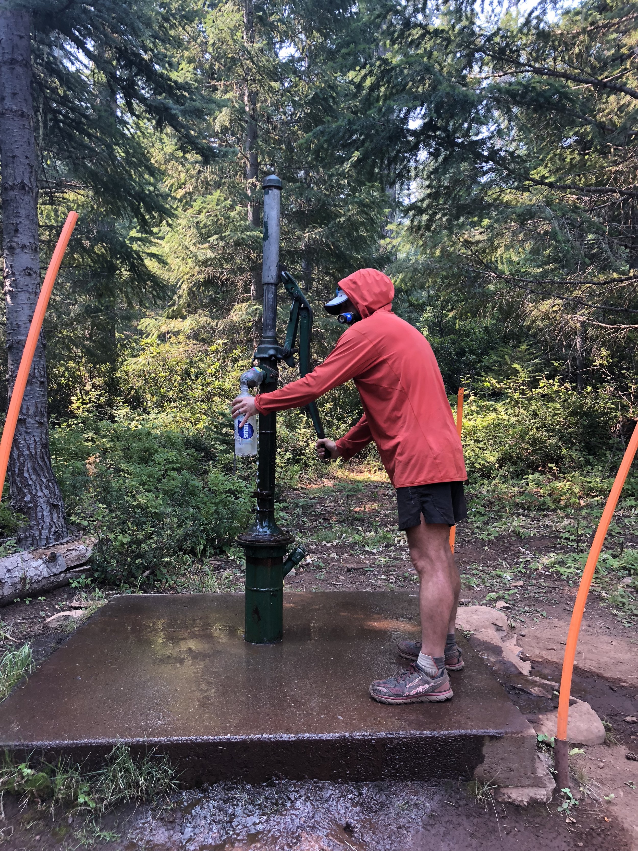
Our second break to collect water was at a shelter house just off the trail. The water source was a giant hand pump, because why not give our arms a bit of exercise too?
The shelter house was small and basic, stocked with firewood, and had a log book, which we signed into. Rainman, Pitch, and Mustang had all signed in yesterday. I’m hoping we will catch up to them eventually, as I’m interested to hear how their 24-hour challenge went.

Really hoping these are blueberries since I just ate one without a second thought.
From about mid-morning to early afternoon, we hiked through a beautiful volcanic landscape, with groomed trail cutting through washes of large black volcanic rocks. While the trails could get a bit tedious when they were filled with rocks, many of the sections through the washes were well groomed, so you were surrounded by rocks but the trail itself was smooth packed dirt.


The contrast between the red rock and orangey-brown dirt trails weaving between the black rocks was very cool, in my opinion, and we also got some really beautiful views of Mt McLoughlin.
Beyond the volcanic landscape, the trail returned to the forest for less exciting views, but nice shaded hiking. Actually the daytime temps the past couple of days have been pretty pleasant. Combined with easier hiking, shaded trail, and decent breezes, we haven’t felt like piles of dripping sweat all day long as we did in northern California.

Later in the evening while setting up camp, we talked to another hiker – Slip n’ Slide – who had stopped for a break. We had heard several planes overhead earlier though hadn’t looked to see what they were. Slip n’ Slide said several of them were bomber planes, used to carry water to dump on the forest fires. According to Slip n’ Slide, a few of the fires east of us have merged to form a much larger fire, not a good deal. He mentioned being able to see a large plume of smoke to the east earlier, but we had not seen this. It can be somewhat discomforting when we are hiking through areas without cell service (most of the time) and the inability to look up the most recent fire information.

Tonight, as usual, we can certainly smell and taste the smoke in the air. This has been the reality for the past couple hundred miles really, and seems like it may be the reality for much of Oregon. 🙁