Day 102: The State of Jefferson
Date: Sat 7/28
PCT Start Mile: 1623.7
PCT End Mile: 1657.5
PCT Mileage for Day: 33.8
Total PCT Mileage: 1657.5
The Highlights: big miles into Seiad Valley, lots of smoke, and the state of Jefferson

Last night actually got really cold, which was completely awesome for sleeping. I slept hard and really did not want to get up when the alarm went off this morning.
It was still chilly and I started the hike in my raincoat. Since the first thing we did was climb, this was shed fairly quickly. I should also mention that no deer bothered us, stole or slobbered on our stuff last night, so that’s good.
While the day started with a few climbs, the majority of the work was over by mid-morning. Just before our last bigger climb of the day, Shawn hiked ahead while I finished filtering water at a stream.
Just before I left, Rainman and Pitch hiked up. I had figured they were ahead of us, but funny enough, they had actually camped at the same site we were at last night, but further away from where we set up our tent, so we’d had no idea they were there. They weren’t planning on doing as many miles as we were for the day, so we didn’t see them again the rest of the day.

After mid-morning, the majority of the hiking for the day was all downhill, with some very short punchy climbs here and there, but a long net descent all the way into Seiad Valley.

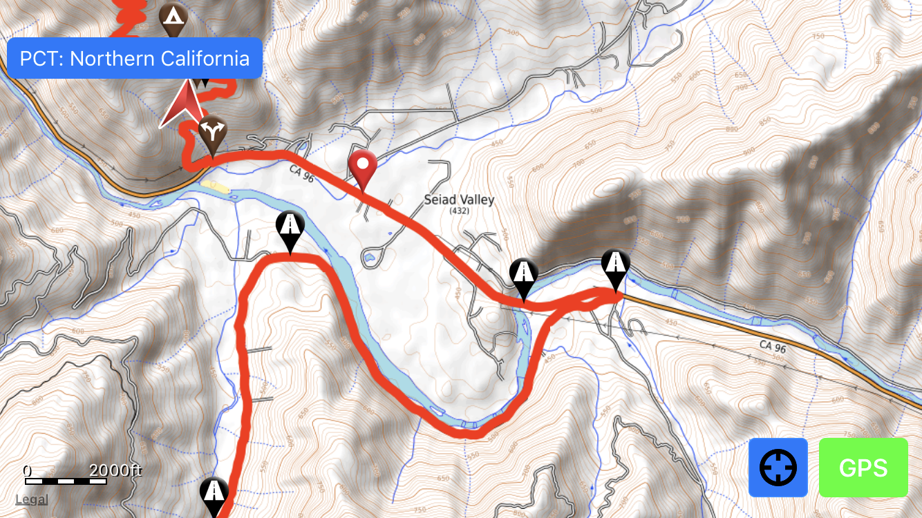
The hike walks right through the very small (pop ~300) town of Seiad Valley, mostly because the trail includes about a seven mile road walk between trail sections, six and a half of which comes before Seiad Valley.
Arriving at the road around 4:30pm, we kept trucking, wanting to make it to the small convenient store in Seiad Valley before it closed at 7pm. Cold drinks on the brain.

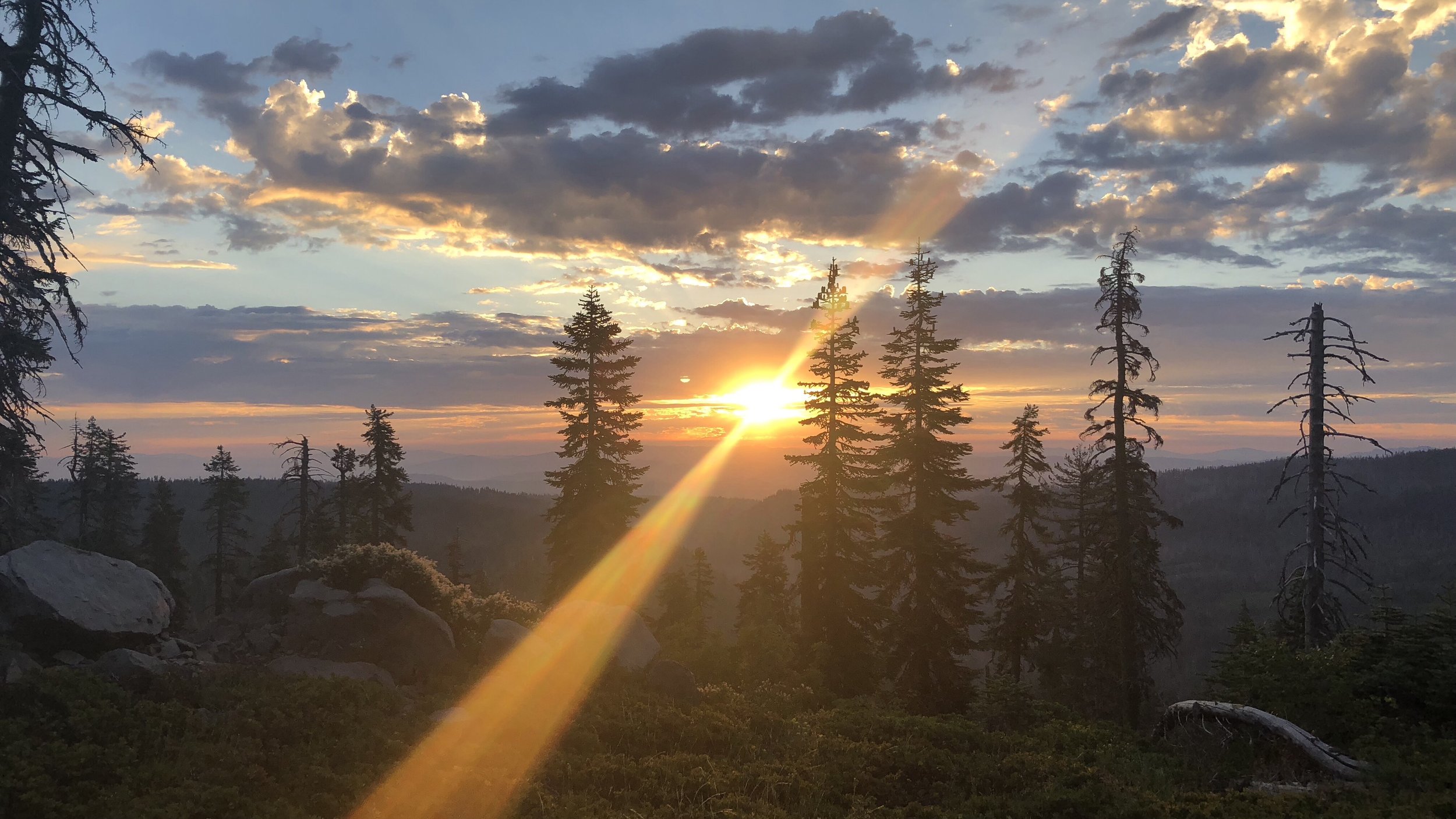
The road began as gravel, the cicadas humming from the trees in the late afternoon heat. We walked past fenced properties with “no trespassing” and “beware of dog” signs, run down pick-ups in the lawn. Eventually the road turned to pavement, following along the Klamath River, thick hazy smoke settled in the sky.


Our last 1.6 miles walked along State Highway 96. Not an incredibly exciting trail route. We began to see signs for the State of Jefferson.
Technically, we’ve been in the territory of this proposed state for awhile, but Seiad Valley seemed to have the most prominent signage. Once we reached the convenient store, we were even able to read up on it a bit in some informational brochures.


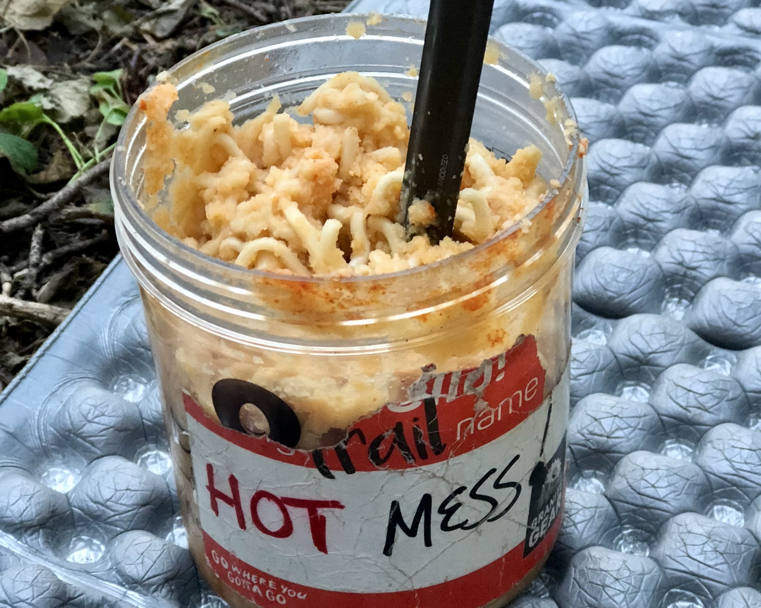
At the store, we quickly downed gatorades and sodas. We had walked 32.5 miles today for these cold drinks and, while we had originally planned to relax and cook our dinners here before hiking on, plans changed quickly.
We didn’t want to pay to stay at the RV Park next door, so figured we could hike the extra 1.5 miles to the first tent site on the trail. However, after overhearing a few other conversations, we discovered (as usual) that we weren’t the only hikers with this plan. So… we decided to skedaddle in hopes of getting there first. Thankfully, this worked out.
Ugh. Hate looking at this big U on the map…
Despite dragging my ass very slowly up the climb to the site, we were the first ones there and quickly set up our tent. Shawn went up the trail a tenth of a mile to collect water for us. Eventually we were joined by Conflicted and we chatted with him for awhile before we all retired for the night.

The sun hidden in the smoke as we walked into Seiad Valley.
The smoke is so thick, all you see for a view from the mountains is a wall of white. You smell it, you breath it, you taste it. I think this will continue to be our reality until we get past Ashland.
Unlike last light, tonight is hot and we are currently sleeping on top of our sleeping bags. Hopefully it will cool down to good sleeping temps soon.

Oh! I should also mention – we crossed mile 1650 today which means… less than 1000 miles to go!! Countdown time!