Day 21 - Yellow Blazing
Date: Wed May 8
Start Mile: Cebolla Alternate Mile 13.2
End Mile: CDT Mile 523.8
Total Trail/Alt Mileage: ~10 miles
Hitch Miles: ~24.3
Highlights: Narrows Rim Trail, Grants
Today we slept in a bit, hiking out at 7am since we didn’t have too many miles to get in for the morning.
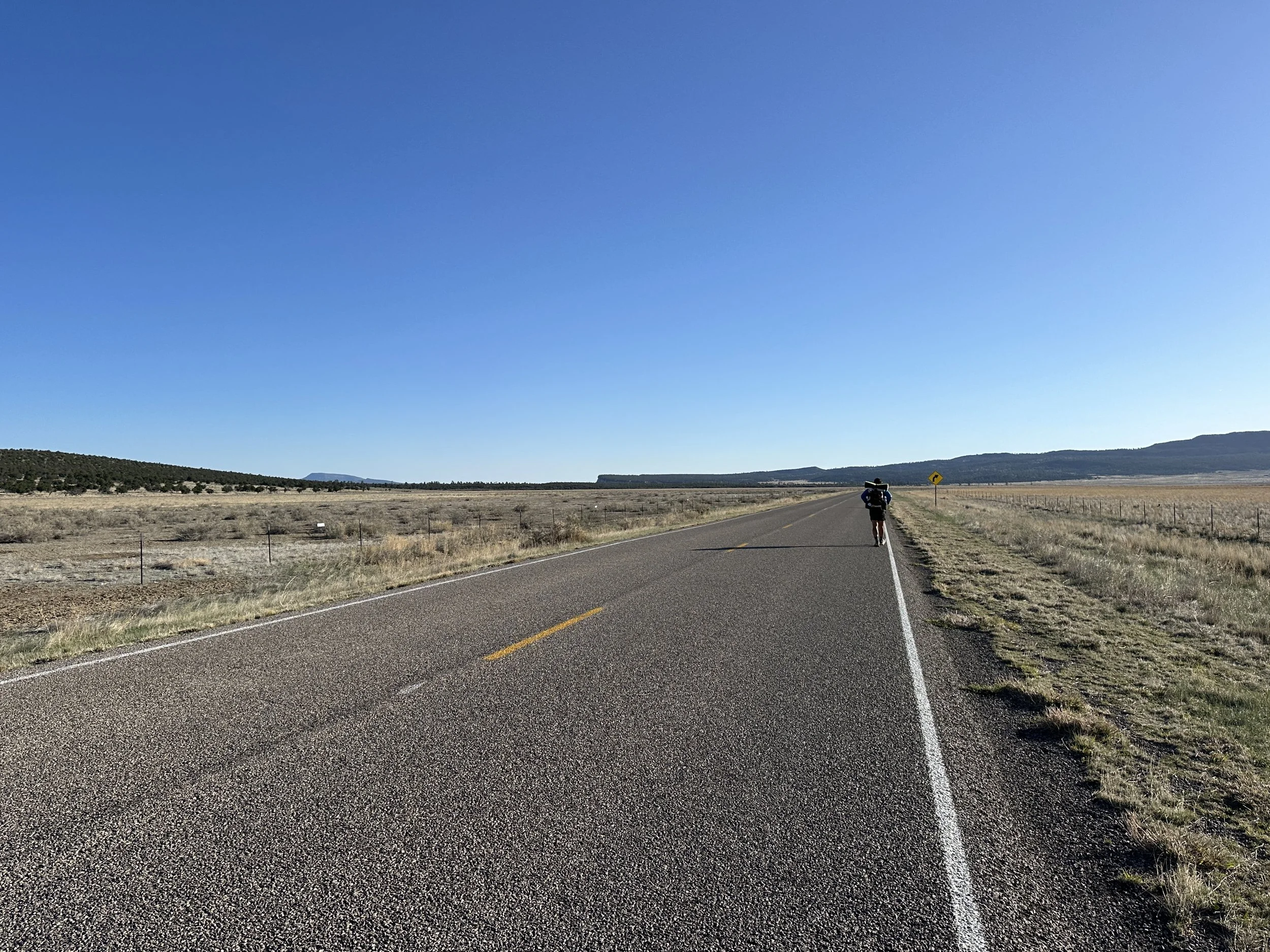
The hike started with just over a mile of dirt road until the junction with Highway 117, which was technically the “trail” into Grants, NM, our next town/resupply stop along the CDT.
While we have expressed our feelings about highway walks along the CDT (stupid - the sentiment of pretty much all CDT hikers, even the very few that walk them), we acquiesced for a bit this morning, hiking the highway for about five miles. While boring, it was a means to an end. We were heading for an (unmarked) alternate of the alternate.
About five miles up Highway 117, there was a trailhead for the Narrows Rim Trail, a trail that roughly paralleled the highway. It was an opportunity to hike along what was reported to be a very scenic section of trail that would overlook the volcanic rock fields to the west, and - most importantly - take us away from their highway.
We arrived at the trailhead with 7, Kez, and HP, who had caught up to my comparatively slow 3mph pace along the highway and set out on the trail with them.
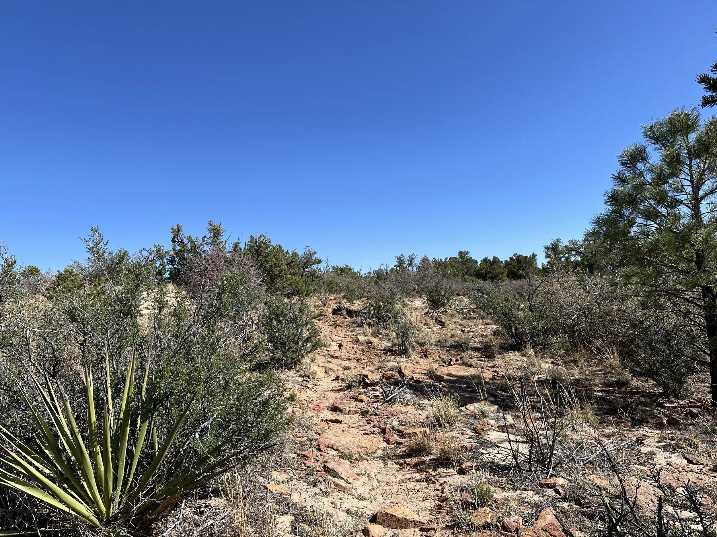
After a short scramble up the sandstone cliffs, the trail flattened, hiking along the rim of a mesa, which looked out over the expansive volcanic rock fields. Viewing their breadth from above was a stunning site. If water hadn’t been an issue, it would have been an incredible landscape to walk through, though we also learned that, unlike the gorgeous volcanic landscape we had hiked through in Oregon along the PCT, there was no trail cut through the volcanic landscape here. The official CDT route would have been miles of walking over the volcanic rocks, very rough on the feet. We were happy with our view from a distance, especially from this high vantage point where we could see the expansiveness of the landscape, reaching to the horizon.
The rim trail also provided beautiful views of the sinuous cliff face of sandstone that we walked along, which snaked along roughly parallel to Highway 117, sandstone mesa to the east of the highway, rocky volcanic fields to the west. The highway winding through the middle of it all.
The trail along the mesa alternated between crushed rocks, rocky slabs, thick beach sand, and occasionally hard packed dirt. Overall, I think the five of us were just giddy to be hiking along a gorgeous trail after what had been many days composed primarily of road walking.
Along the trail, we caught up with Tracks, my first chance to put a face to the name. She stepped aside as the rest of us hiked by, though we all seemed to leapfrog as we made different stops to take photos along the rim, enjoying the bluebird morning.
The Narrows Rim Trail was just one of many trails that carved its way through El Malpais National Conservation Area, which covered ~263,000 acres (~1062 sq km). Other trails passed by natural features such as lava tubes, an ice cave, and various rock formations and features.
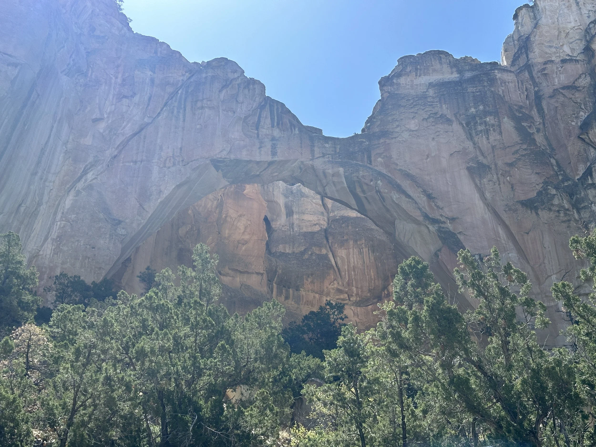
Toward the end of the Narrows Rim Trail, we followed cairns that continued along the rim to a very steep, chossy, rocky decent that was slow going, but manageable. This trail bottomed out not too far from one of the prominent rock features of the area, La Ventana Arch, a natural arch carved into the sandstone cliffs by wind and water erosion. This feature was popular enough that it had a very well established tourist trail that led to a large parking lot, which is where we tumbled back to Highway 117 after our four mile detour.
La Ventana Arch.
From here, we planned to yellow blaze the rest of the way into Grants. The remainder of the ~21 miles of ‘trail’ to Grants was made up of Highway 117, a route we were not going to walk. Dumb.
For those unfamiliar with hiking lingo, “yellow blazing” is a reference to hitching, taking its comical name from the dashed painted yellow lines of highways. The term is a spin off from the iconic white blazes that Appalachian Trail hikers follow from Georgia to Maine, where the ‘blazes’ are painted white rectangles, found primarily on trees. ‘Blazing’ is often used to refer to following or painting these trail markers, making ‘yellow blazing’ a bit of a joking reference to hitching (vs hiking). We have no shame in this.
A Wednesday morning, the parking lot was empty save for one car, a trail angel that had just dropped an elderly couple off at the trailhead. He planned to watch them from a distance as they made their way up the northern end of the Narrows Rim Trail, an activity he thought would take another 1-2 hours for them. We chatted with him a bit before making our way down to the highway, where we got the fastest hitch of our lives (thus far).
We weren’t even all the way to the highway. Walking down the entrance road to the La Ventana Arch parking lot, Shawn saw a few cars coming by on the highway, so stuck up his thumb as we walked. A car pulled over so quickly we were shocked. So fast, it was almost as if it was a law to pick up hitch hikers and Big Brother was watching. Didn’t even have to throw out any leg. What a day.
Our new friend with a car was Stace. He was from Colorado originally but had been living in Ohio for a very long time. Currently he was just on a little roadtrip through New Mexico. No real agenda, just driving around, exploring the sites, and generally escaping the population of the east coast. If you want to escape people, I can confirm that New Mexico is an excellent option.
We chatted with him about his travels and the many electronics in the rental car, some of which he either didn’t understand or didn’t need. Having absolutely no agenda, he was happy to drop us anywhere we wanted to go in Grants, so naturally we chose somewhere to eat lunch.
As we rode through town, we saw Mash and Bun (Cinnabun) walking down the road. Later we would learn that they’d come in yesterday, having hiked the red line all the way into town (i.e., not yellow blazing), a hike that they said they regretted and should have hitched. We obviously make the best choices.
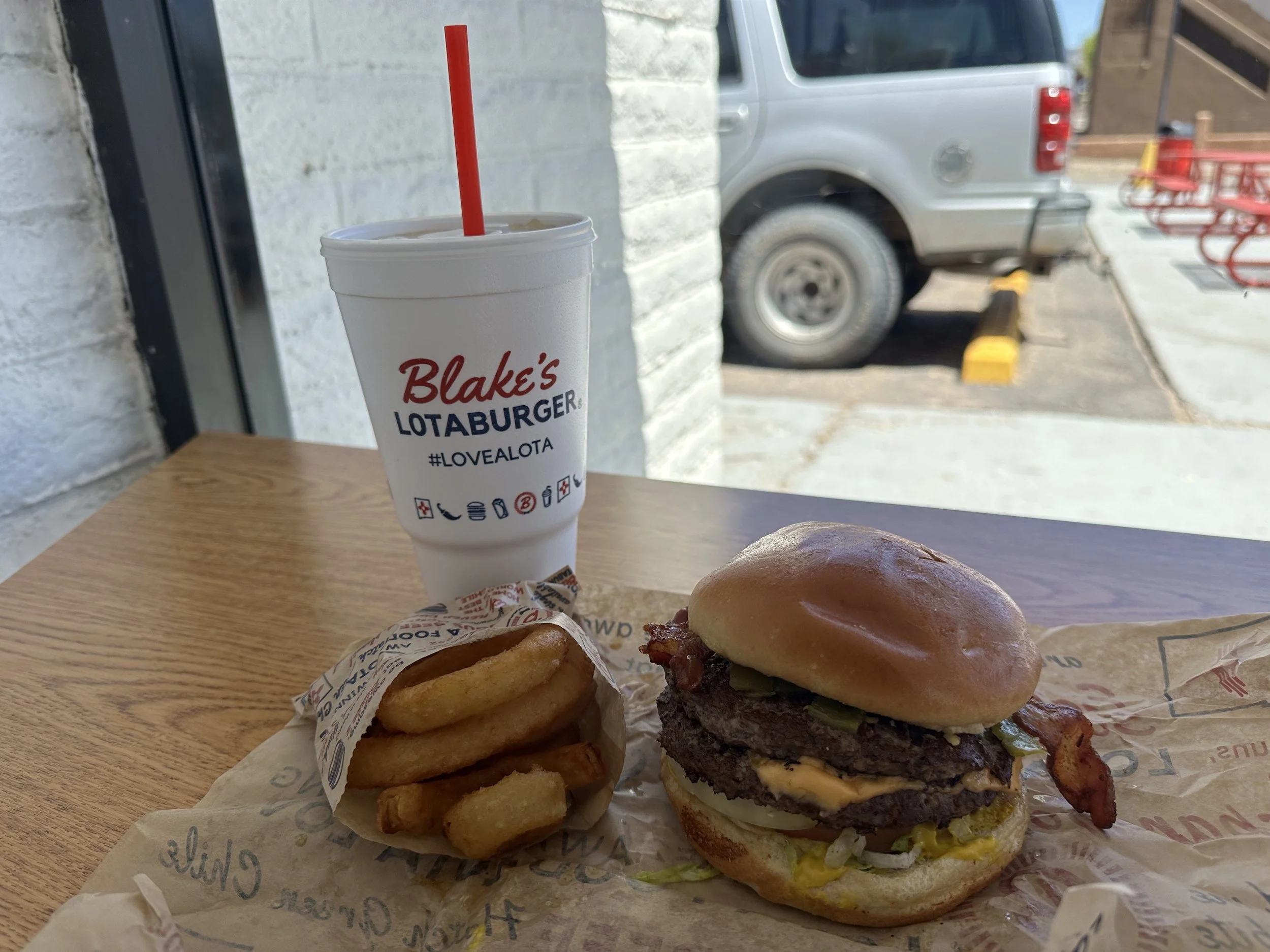
Stace dropped us at Blake’s Lotaburger, a burger chain primarily throughout New Mexico along with a couple Arizona locations. It seemed like something to at least try while we were hiking through the state. Soon enough, I was faced with a burger I could not finish. My favorite thing about Blake’s Lotaburger would be the crushed ice.
After lunch, we walked back to the other end of Grants, where we’d gotten a room at the Best Western for the night. Highway 117 through Grants is part of the historic Route 66, which in this area mostly paid homage to the past glory of this iconic route with several abandoned and crumbling motels. Make no mistake, there are still thriving locations to ‘get your kicks along Route 66’, as they say, but Grants, NM is not one of them.
Turning off 117/Route 66, we made our way back toward the I-40 interchange, where the Best Western and several other low to mid-tier hotels. This included the Motel 6, where most hikers were staying, but we liked to class it up a bit. (Lolz). Mostly, Hot Mess has status at Best Western so we can accrue points and get some perks there. Like early check in. Which we wanted right now.
There is a long list of questions when choosing a hotel on a thru hike. Especially if you plan to zero there. Some of these include:
How much per night? (Obvi)
Is there a hiker discount? (Help me)
Do you have early check in and/or late check out? (We are staying as long as possible)
Is there free breakfast? (Everything is about food)
Do you have a washer/dryer? (This is more for your benefit than mine, trust me)
Do the rooms have refrigerators? (We’re stocking it so we don’t have to leave)
Do you have a hot tub? (Cherry on top)
This place checked most of the boxes.
So, we spent the afternoon doing normal thru hiker hotel things. Cleaning our gear (though not all thru hikers do this), cleaning ourselves (also not sure all thru hikers do this as much as they should), and watching whatever movies we could find on TV.
In the evening, we met Kez, 7, Mash, and Bun across the street at the Asian Super Buffet - clearly what you would associate New Mexico with - chosen almost entirely for its proximity and the fact that it could have some vegetarian options, something 50% of our group was after. It was also one of very few restaurants on this side of town - and none of us were interested in making the long walk back to Route 66.
When in New Mexico?
We topped off a dinner that I would describe as “okay” with Dairy Queen, just to make ourselves feel a little better. Come on though, Dairy Queen, put a few more peanut butter cups in those blizzards.
And that was our night. Mash and Bun are hitting the trail tomorrow, but the rest of us were taking some zeros. More on that tomorrow.


