Day 20 - Roads? Where We’re Going, We NEED Roads (Many Roads)
Date: Tue May 7
Start Mile: CDT Mile 430.3
End Mile: Cebolla Alternate Mile 13.2
Total Trail Mileage: 25.2 mi
Highlights: roads, roads, roads; Cebolla Wilderness
This morning we were up early. Based on water availability, if we didn’t want to dry camp tonight (and we didn’t), we’d need to put in a big mileage day.
Luckily the wind had died down after sunset last night and the night was calm. Waking it was still calm, but cold. Temps dropping below freezing over night have been pretty standard through the last couple sections.
Today would be a day of dirt road walks with a wee bit of trail.
The first twelve miles kept us along the same dirt road we had walked down yesterday. Pie Town Road, also labeled as York Ranch Road through some areas. As the sun came over the mountains to the east, it spilled across the roadway in stripes, alternating with the shadow of trees. Mini thermal layers in our walk.
The road was bordered by a series of large ranches, most of which announced themselves with named entrances, etched into wrought iron gateways. TLC Ranch. York Ranch. Ponderosa Ranch. Just after starting our hike for the morning, we had passed a field with six or seven horses, otherwise we didn’t see any animals - domestic or otherwise - along this stretch of road. Actually, there was one particularly jumpy spider. That’s it though.
After an hour or so, we passed Steel, who was taking a break in the early morning sun. She had set out just before us and we could see her in the distance each time she crested a hill along the road. We bid our good mornings and continued on.
Down the road, we made a short detour off trail to the last water collection point of the day, a cattle trough. Having only hiked six miles in chilly weather, I’d hardly drank anything and didn’t bother filling up. Hot Mess topped up and we were on our way again. A lot of water carries have turned out to be unnecessary for me. I’m probably not hydrating as much as I should, particularly when it’s cold. I end up carrying extra water just in case. When you have twenty dry miles ahead of you, you want to make sure you have enough water in case temps feel hotter than expected (even 60°F can feel hot in the desert if there is no breeze, cloud cover, or shade), or in case something happens that forces you to slow down or stop early. When none of these things come to fruition, you end up just carrying a lot of extra water. Each liter of water weights 2.2 pounds, so even our typical 3.5 liter carries become a lot of water weight to start throwing day. This said, we’ve been fairly lucky because there were several times on the PCT that we had to carry nearly double this.
At 12 miles, we left the official PCT for the ‘brown line’, an alternate that avoided the long walk through the El Malpais volcanic fields. While this is an extremely interesting landscape for the region, the water situation along the red line through this area was precarious. Without enough reliable sources, most people were opting for the brown line, which still had an opportunity for scenic viewpoints of the volcanic fields.
The brown line began as the Armijo Canyon Trailhead, a Natural Conservation Area, which - despite its name - was not initially a trail, but a grassy dirt track road that included a lot of thick beach-like sand.
This track did eventually morph into a trail through the Cebolla Wilderness. Cebolla is Spanish for ‘onion’… And as Shrek taught us, Ogre’s are like onions. Ogres have layers. Onions have layers. What layers… or onions… or ogres… would we find here?
Mostly we found more thick beach sand, but personally I was just happy to be on trail. It is amazing how much of a mental lift I get when we finally change to trail. The mental drain of road walks is hard to convey. For me, it’s like running on a treadmill … you feel that you are truly going nowhere. Why a thin dirt line makes such a difference, I don’t know. But it does. Other than super rocky trail, it’s also generally much easier on the feet.
Our walk on trail would last only a few miles, time which we extended with a long lunch stop, tucking into a small stand of trees to break the wind.
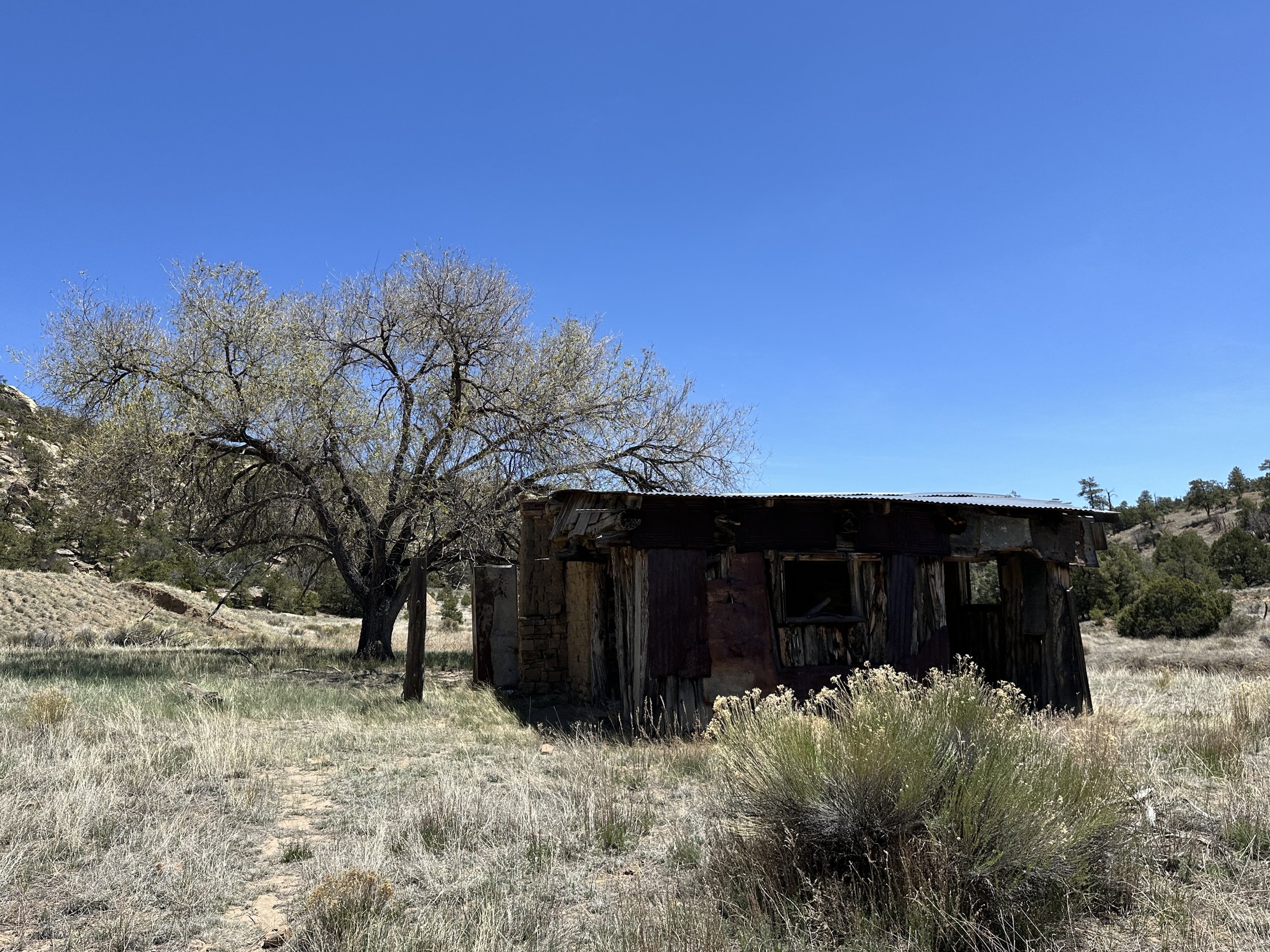
The Cebolla Wilderness is part of the El Malpais National Conservation Area, and the trail weaved through sandstone mesas, rocky canyons, and valleys of tall grasses. The wilderness area has, apparently, several prehistoric archeological sites and historic homesteads. We did pass by one crumbling home, the history of which I don’t know. Other historic sites in the area were built between 1000-1300 AD by ancestors of the modern Pueblo Indian people, whether or not this homestead shared that history, I’m not sure.
All good things must come to an end. Eventually, after a short rocky climb, the trail once again morphed back into dirt road, albeit through a much more beautiful landscape (at first) than the morning road walk, still routing through crumbling sandstone cliffsides, Ponderosa pines, and junipers.
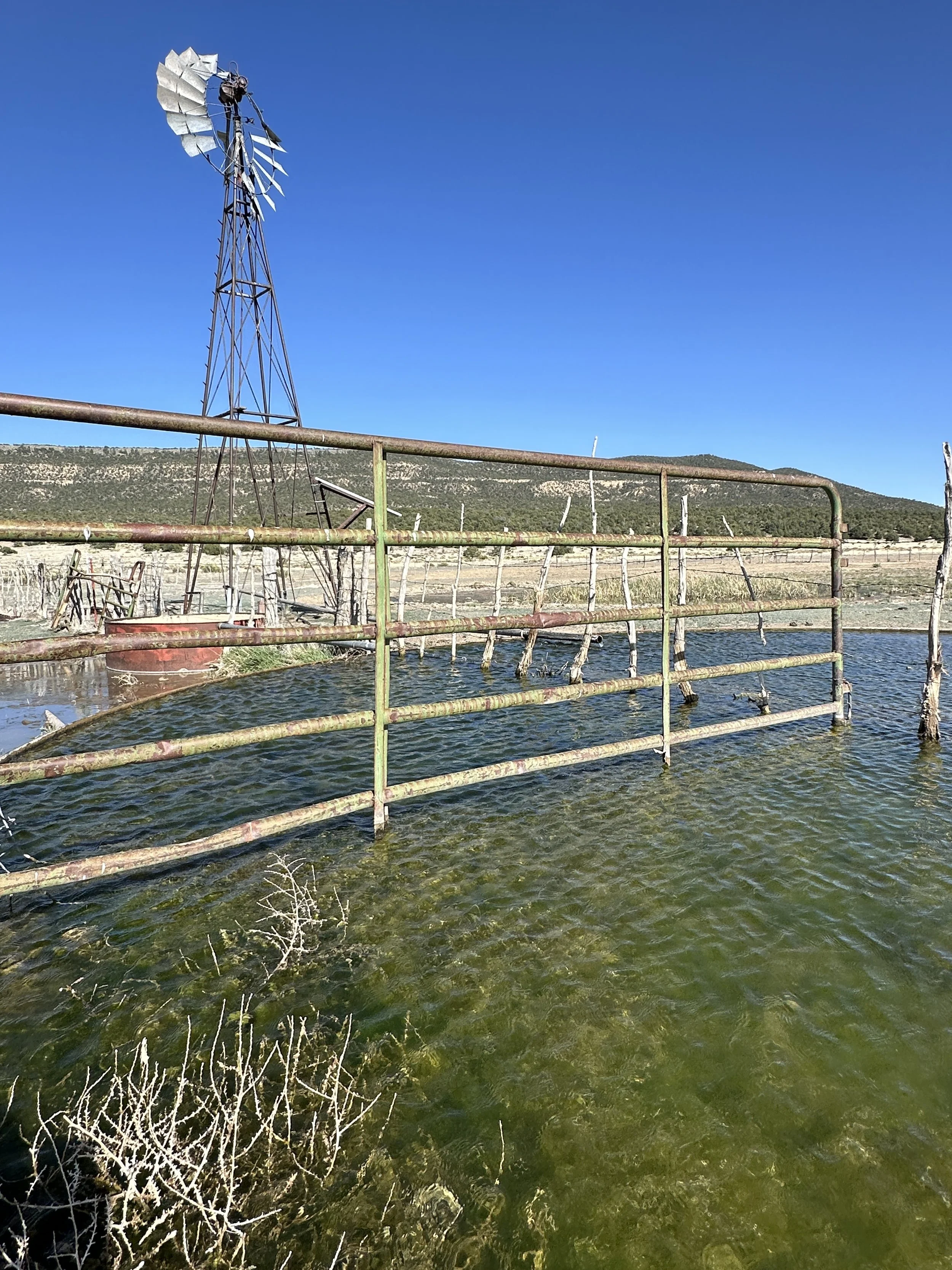
With only a couple miles to go for the day, 7 (who I found out typically just writes his name as the number) and HP caught up to us as we took a break in the shade. Kez wasn’t too far behind and eventually the five of us were strung out along the road en route to the final water source, a large cow trough located off the trail, a tall windmill revealing its position.
Along the trail, we’ve stopped at several cow troughs with windmills. Even in heavy winds, the windmills are rarely moving, often old and rusted, many missing most of their blades. There was a time when the windmills were providing the energy for the well pumps that keep the livestock troughs topped with water. Today, most of the windmills sit along the troughs as little more than a quaint historic relics, replaced by solar pumps, a couple of large panels now tackling this work. At least this seems to be the case as far as I can surmise on our ramble through. As mentioned though, the windmills are a nice beacon on the landscape to direct us to the troughs. And yes, we filter the water.
Yum, algae.
The wind was kicking by the time we reached the mostly open plain where the cattle trough sat. After topping off, we made our way back through the field to the oppose side of the road where some tall bushes and trees provided promising wind breaks for camping. Hot Mess and I hiked toward some of the larger stands of trees, finding a calm spot to pitch our tent.
7, HP, and a hiker named Tracks were also camped nearby. I had yet to meet Tracks, though Hot Mess had chatted with her briefly as we joined the brown line this morning. He was a bit ahead of me at this point and Tracks had hiked on before I arrived, so I’d yet to see more than her slight figure receding into the distance. She was likely in her early to mid-50s and seemed to prefer to hike and camp alone. Even camped nearby, I never saw her. It seemed she was in her tent for the night by the time we arrived.
“Tracks is that you!?!,” 7 called out as he saw the tent. She confirmed that it was indeed her. She had been found. 7 and HP obviously knew her well, having crossed her path several times on the trail at this point. Since Hot Mess and I had jumped forward on the section into Pie Town, we were still meeting a lot of new hikers.
Dinner time.
The evening was our normal routine: set up the tent and our sleep stuffs, wash up and foot care with wet wipes and what water we can spare, change into warm/sleep stuffs, make/eat dinner, and prep the ‘feed bag’ (right hip belt pocket for me) with brekkie snacks to sustain me through the next morning.
Then, I crawl into my cozy orange burrito, arrange my little city of hike clothes, electronics, water filter, etc. inside with me and squirm into a position in which all of us can peacefully exist for the night. Kind of. And with that, it’s time to turn on the rotisserie spinner that is the night of a side sleeper on a backpacking air mattress. Good night.


