Day 7 - 100 Miles & the Quartz Throne
Date: Wed April 24
Start Mile: 83.6
End Mile: 106.5
Total Mileage: 22.9mi
The Highlights: overcast hiking, over 100 miles in
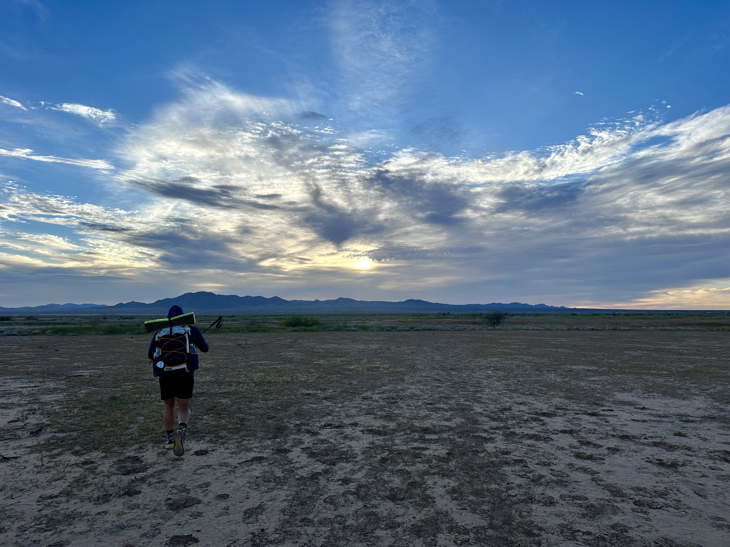
Today we left the creature comforts of the Hampton Inn and walked through Lordsburg in the twilighty hours of morning, colors starting to seep around the edges of the mountains in the distance.
Because the CDT walks right through Lordsburg, there is a bit of road walking on either end, both heading into and out of town. This morning we would have about three miles through town and along the highway before we veered off into the wilderness.
At the far end of town, a train rumbled through, likely carrying cargo coming to or from the copper mines, the largest industry in the area.
We walked the tunnel beneath the tracks and continued up the shoulder of Duncan Highway, which we would walk along for the next couple miles.
I am not a huge fan of road walks, particularly paved road walks along highways. We are, after all, out here to hike a National Scenic Trail through the wilderness.
This said, I was mostly distracted from the road by the amazing sunrise over the mountains to the east - oranges, yellows, and pinks burst into the sky, refracting and mingling with the clouds above. It was a beautiful scene.
After the first few miles, it was time to leave the road, by crawling under a barbed wire fence. We pushed our packs through first and then ducked under ourselves.
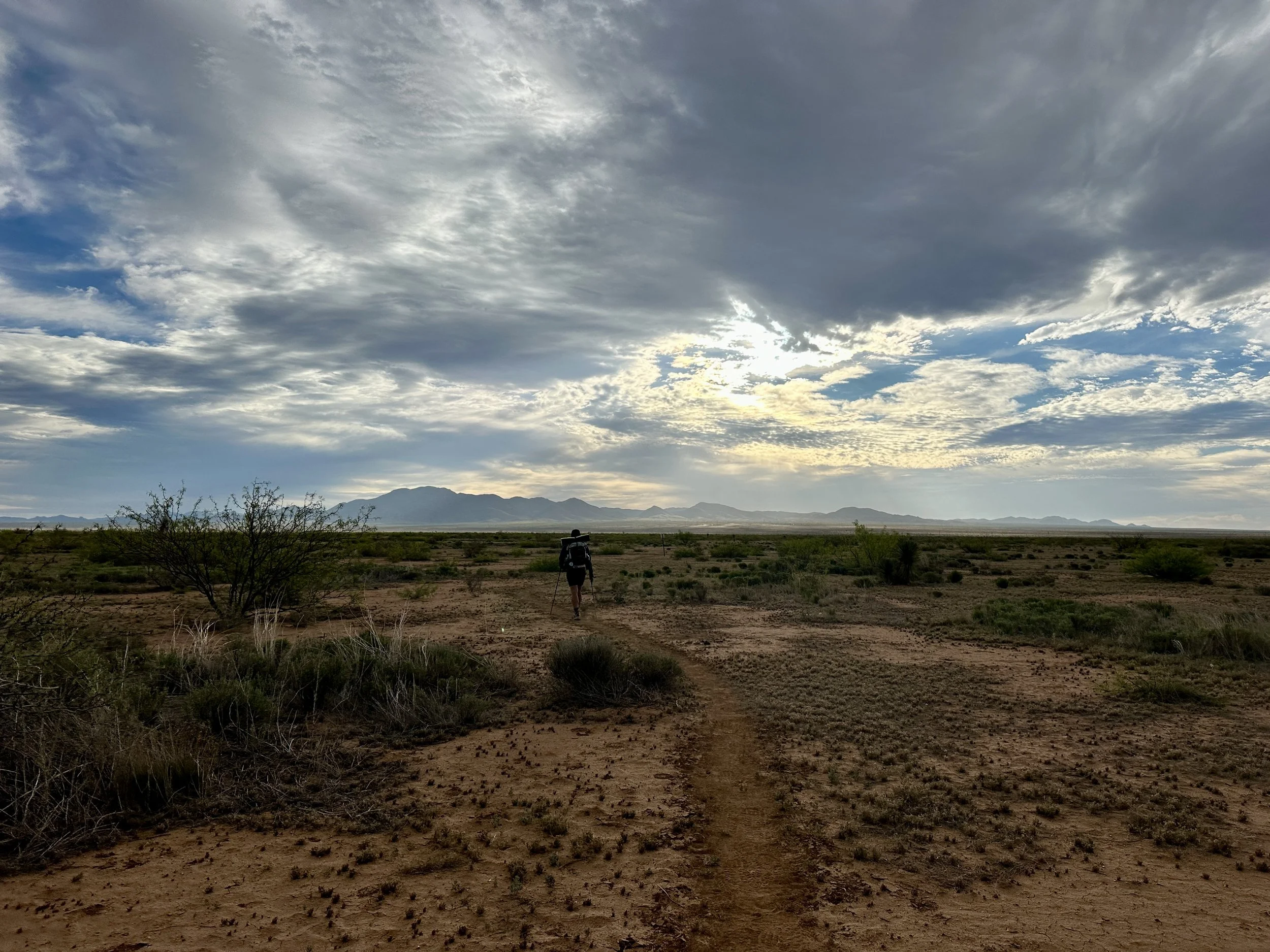
This found us in a wide expansive field of desert scrub. Far ahead of us a small range of mountains spread across the horizon, fantastic clouds painting the sky above. Little trickles of sunlight illuminated parts of the cloud bank, giving the whole scene an ethereal glow.
These clouds would be our constant friends for most of the first half of the day, blocking the sun as we walked 13-14ish miles across the flat and shadeless field. There was plenty of plant life across the field, just nothing of a size that would throw shade.
Without a water source for the first 14 miles of the trail, and no shade through this section, it would not be a place you’d want to hike through on a hot day. We were thankful that the weather was perfect for our hike here.
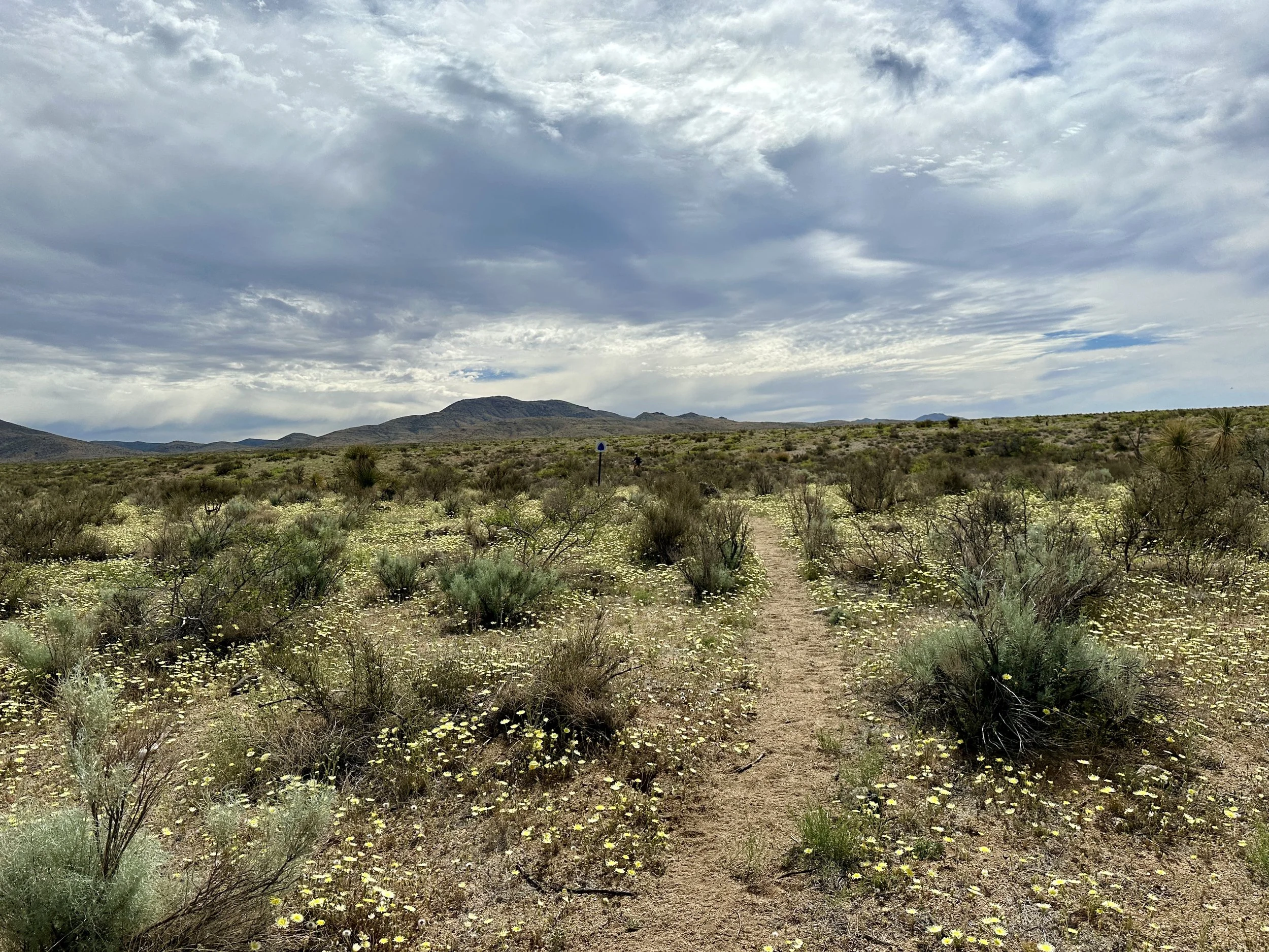
The field contained a mix of trail marked with signs, signs with no trail, and sometimes… no trail, no signs. Overall it wasn’t too difficult to navigate, but you did have to pay attention to the map or you could find yourself half a mile or more off the trail.
With the overcast weather, slight breezes, and mostly flat and easy walking terrain (no rocks), our miles clipped by quickly and we’d covered 12 miles by 10am (take that 10 by 10!)
Just before mile 11, we ran into Recharge, who had left town not too long before us. We leapfrogged the rest of the way to our first water stop. Once we were beyond the field, there was a bit of dirt road walking, which eventually led us to our first break spot at the ‘Engineer’s Windmill’, as it was marked on the map.
Today there was not much left of the windmill portion of this stop, but it did have water and a place for us to rest and eat our lunch. Recharge had already arrived and about halfway through our break, a new hiker arrived. When asked his name, he responded “I am Groot,” for the full effect of his Guardians of the Galaxy trail name.
Groot had previously hiked the AT. He’d started the CDT a day before us, but taken two zeros in Lordsburg to rest his blistered feet. And he was from Wisconsin, so cheese definitely came up. We all chatted for a while before it was time to pack up and head out. But first, water.
The water source here was a cattle trough. The water didn’t look too bad other than the many bees that seemed to be floating about it. I wasn’t aware bees liked to swim so much.
I collected a large bottle to filter later, packing out a total of 3.5 liters, half of which was still left over from the morning. We were only hiking eight more miles, but the next source we would stop at was a cache which, from the most recent comments, sounded like it had a dwindling supply. Despite not wanting to carry a lot of dead weight, it was better to be safe than sorry in the desert. (In case you’re wondering, water weighs 2.2lbs per liter).
Continuing our hike, we returned to the dirt road that would serve as the trail for the next four miles. This area of the trail hiked through National Forest Service land, which could be managed for any number of resources. Our map showed mining symbols around nearby mountains, though we didn’t see any mining activity or even any signs of abandoned mine shafts.
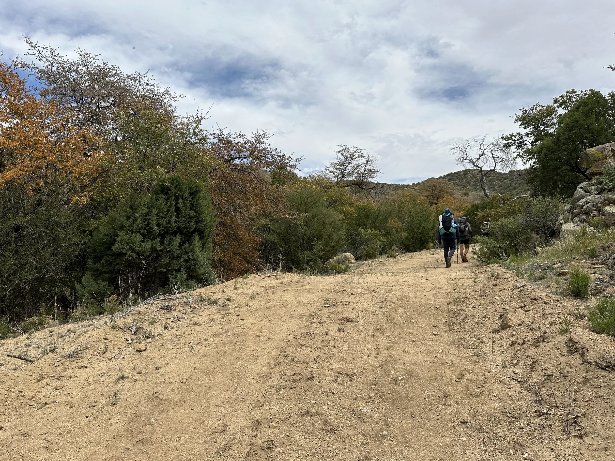
For the next four miles, the road would undulate through the hills, slowly heading uphill to our high point of the day, at 6,586 ft. Along this stretch, we also passed our first 100 miles! Recharge hiked ahead with Hot Mess through this section. I wasn’t far behind, but was moving a little slower than our speedy morning pace. Eventually Groot caught up and hiked along with the guys, as well.
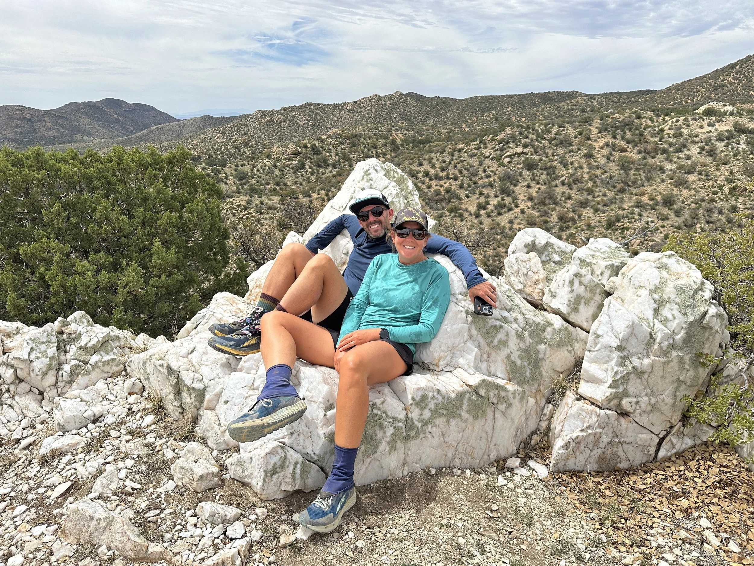
At the high point, there was a small off shoot trail up to a ‘quartz throne’, which we all decided to investigate. Only a few minutes walk up to a high lookout, we did indeed find a large chair shaped chunk of quartz. From the lookout, you could see Lordsburg, Pyramid Peak, and Big Hatchet, all now firmly in our rearview mirror.
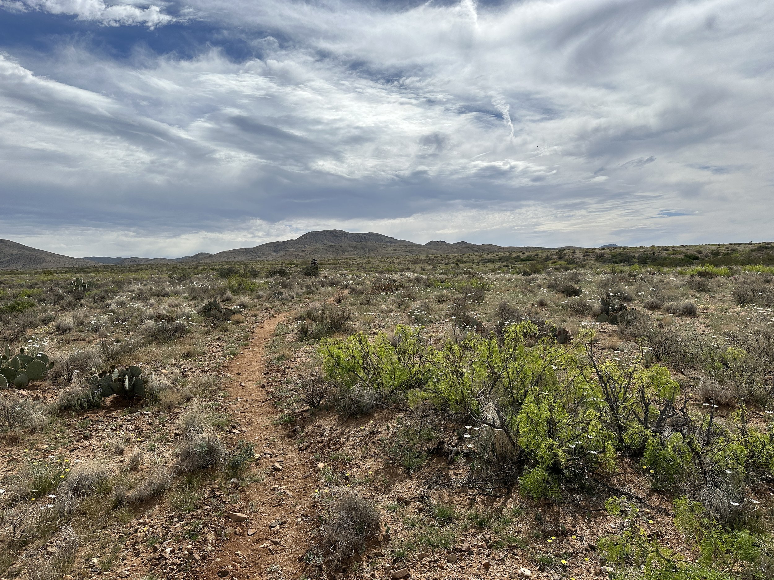
The final four miles of the day were along a nice mellow trail that descended from the high point and weaved through trees and desert forest. This was the first time I had seen CDT blazes on trees, since up to this point on the trail, there wasn’t really any arboreal real estate.
There was some rocky terrain along bits of the trail,but for the most part it was nice smooth trail, mostly shaded by trees. One of the most pleasant stretches yet.
Our day ended at a water cache that was mostly out of water. Luckily I still had just over two liters from our last stop. The four of us were able to make do with the very little water remaining at the cache, rationing what we used for dinner to make sure we had a bit left for morning. Luckily the next water source is only 4-5 miles down the trail tomorrow.
After dinner, where I managed to bake some of my Knorr pasta noodles to the bottom of my cook pot, I retired to our tent while the guys talked for awhile. Mileage-wise, today had been our longest day yet (our Garmins reading almost a mile longer than the map mileage). And, while I felt better than I did at the end of any of the days through the last section, I was still pretty tired.
From our tent, we watched the evening sky glow with muted pinks and oranges through the clouds before the sky went dark, no moon or stars to be seen through the clouds.


