Day 13 - Welcome to the Gila River
Date: Tue April 30
Start Mile: Gila River Alternate Mile 9.7
End Mile: Gila River Alternate Mile 27.7
Total Mileage: 18 mi
Highlights: steep climbs, rocky descents, and the fording of the Gila River (many times)
Today was a rough day. Every time I thought the trail might mellow out, it had something else to throw at us.
Last night, however, was beautiful. Unless it’s super cold, windy, or there is a chance of rain, we typically set up the tent without the rain fly. With a full mesh exterior, it makes for great stargazing, which is at least something to do if sleep is eluding me. Not that I’m having any trouble sleeping, other than the constant rotisserie chicken of rotating from side to side as my hips go numb on my air mattress. Totally pleasant.
Back to our day though…
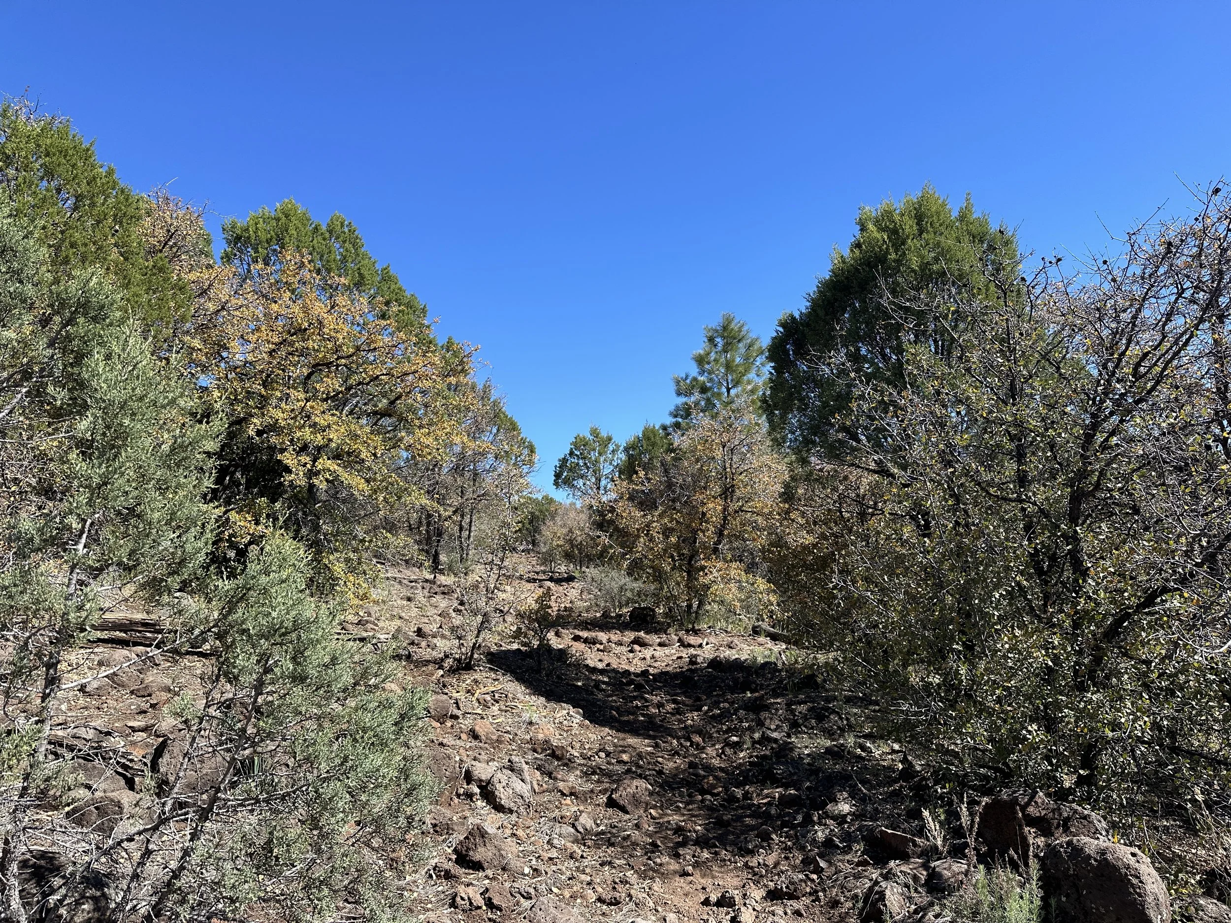
The morning started with a bang - as we slipped and slid our way along rocky, overgrown trail, bushwhacking our way through thorny branches and climbing over blowdowns. This all turned into a momentously steep incline of the same caliber - rocks, felled trees, and overgrowth to push our way through.
Each time I thought, this must be where we top out, it seemed the trail would again route us along the mountainside to some gravely rocky climb. There were some nice views along this section, so it wasn’t all misery. But mostly a lot of misery. It took us three hours to cover six miles.
After a bit, the trail mellowed for a while with some smooth down hill. Occasionally the trail was covered in little more than pine needles and papery dead leaves. It looked like fall. Alas, this pleasant cushy carpeting would not last…
The trail eventually just became rocks. Miles and miles of rocks. Rocks that chewed up our feet and ankles and made the going pretty slow. We were both happy when we reached the trail junction with Sapillo Creek, where we plopped down in the shade of a large tree to eat our lunches.
As we ate, a couple of day hikers came by. We chatted with them for a little bit. Of all places - they are from Pie Town, which we will pass through on the trail in another week or so. It is consistently ranked as the worst resupply on the entire CDT, a big part of which is because it has no grocery store. Or lodging. According to our day hiker friends, it doesn’t even have a gas station. It has a post office and two restaurants and - apparently - some residents.
We chatted with them about the trail for a bit. Our next stop would be Doc Campbell’s, we mentioned. They asked how we were getting there - to which we responded that we were going along the Gila River. This route would include crossing the river many times. They mentioned to us that they had met a couple hikers earlier in the day that had been hiking back up from the Gila route to exit to the nearest highway and get a hitch to Doc Campbell’s. We assume this meant that they didn’t like the look of the river, which didn’t exactly reassure us.
And then, with smiles on their faces, they continued on their way. Ugh.. now we were anxious about the river crossings. The latest information we’d heard was the river level was dropping and the deepest any crossing would be was probably waist deep. Even the search and rescue guy we’d met in Silver City referred to the current conditions as “pretty manageable”.
We didn’t take long to rest after our lunches before getting a move on toward the river. Time to see for ourselves.
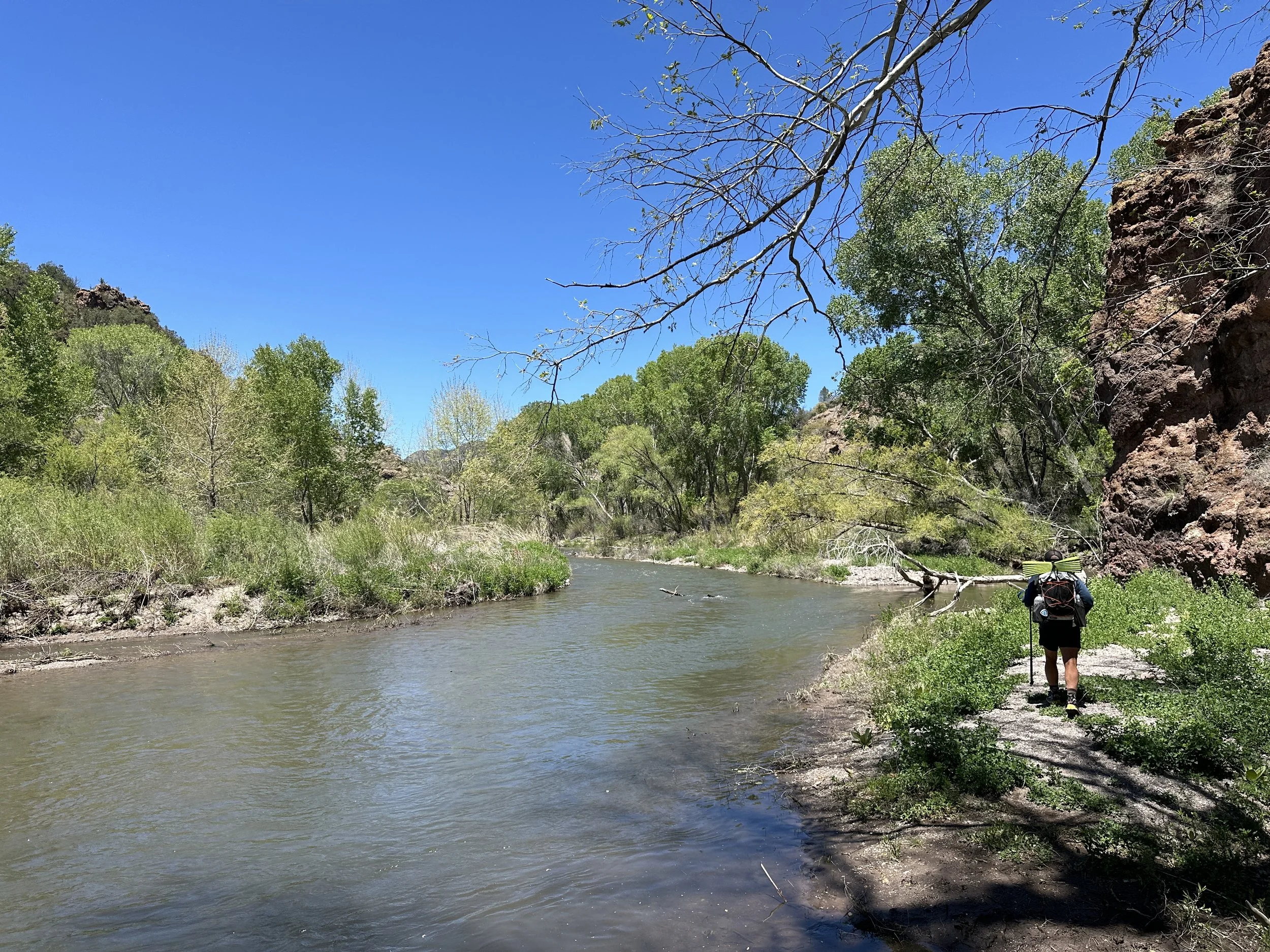
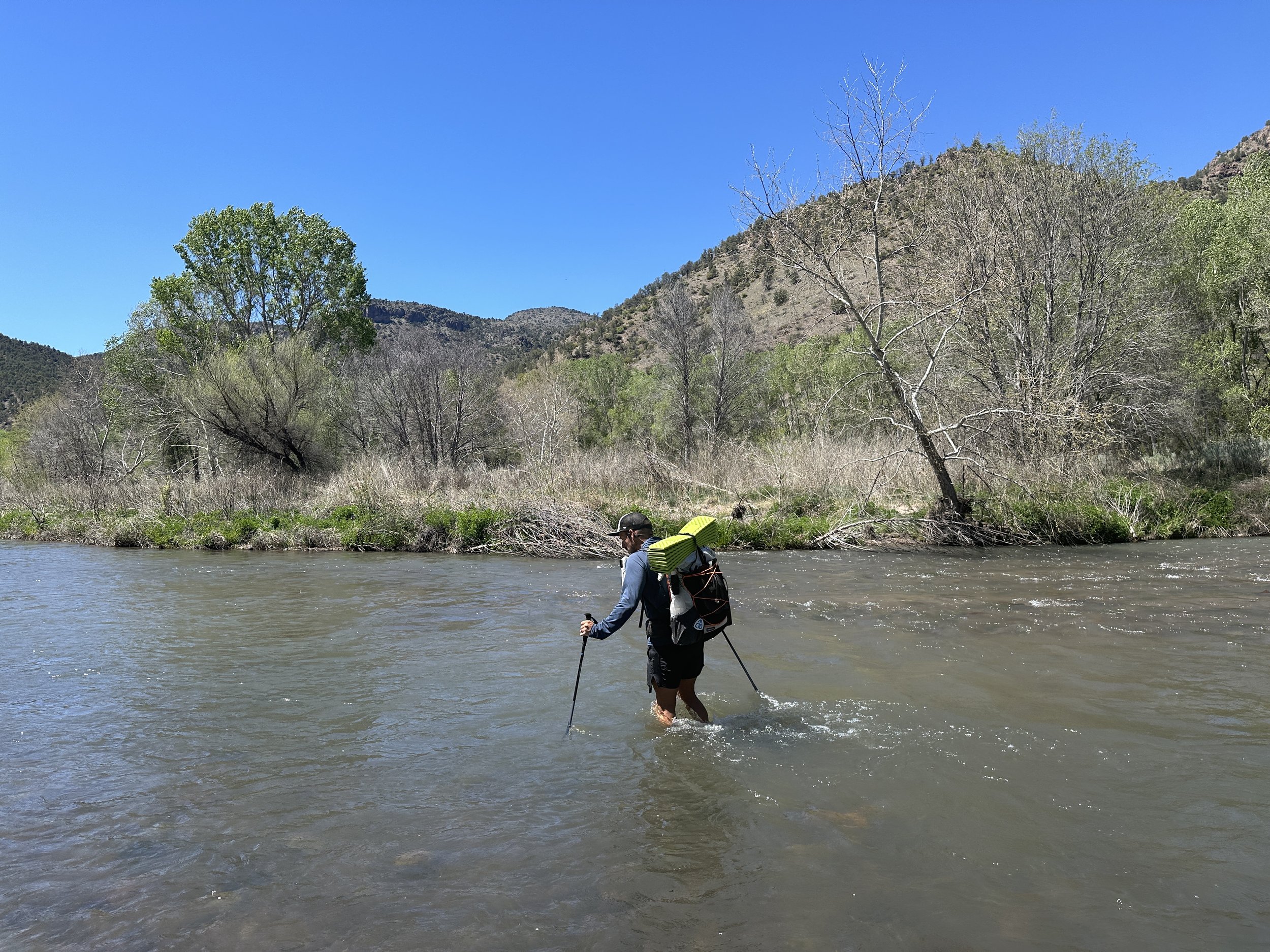
It wasn’t long before we reached the Gila. The first few crossings kept us along the east side of the river - crossing from the east bank to small islands and back again. These slowly grew in depth from our feet to our shins to our knees, the last of which had a pretty strong current. I steadied myself with my trekking poles, slowly moving one foot at a time.
Eventually the east bank would become a rocky cliff face with just enough real estate along the lower reaches above the river that we could scramble our way across above deep water. Hiking along the bank was a lot of work in general - tall grasses and thorny branches, blowdowns, mud, the rock scrambles … no discernible trail most of the time.
For me, the rock scrambles were the worst. They may have felt fine without large packs, but they felt precarious at best with them. Eventually, coming into a maze of branches, briars, and a chaucy decline, I slipped along the rocks and planted myself into a pile of dead branches, sheering the skin off the top of my FU finger - appropriate - and banging up my elbow.
My finger was skinned up enough that we took a break so I could clean it up and get some Neosporin and a bandaid on it. I know, poor Butters skinned her little finger. Thank you for your sympathy.
The going would be like this for the rest of the afternoon. We probably ended up doing 10-12ish crossings (I didn’t count and don’t remember), each of which we thought was very manageable. Some were wide and some had moderately swift currents, but fording deliberately with good foot placement and using our trekking poles for extra stability, we never felt uneasy about the crossings. On one or two, Hot Mess lent me a hand in the swiftest sections.
The deepest crossing we did came to about my crotch (I’m 5’5”). We didn’t always make the crossing where maps noted, but could always find a good place within 100-200 meters up or downstream. We never had to cross anywhere that we couldn’t see the bottom. That seemed like a really bad idea anyway.
After a bit, the river crossings actually became the best part of the afternoon. It was the bits in between that were tearing us up - literally. With very little in the way of discernible trail, most of the hiking between river crossings was through all manner of grasses, bushes, and branches that tore up our legs.
Generally we’d climb out of the river with wet feet and then make our way through the melee of thorny branches and cockle burrs hiking through thick sand which mixed with the water of our shoes to create a dense cake of mud that we were always hauling around. Not to mention the pound of silt in our shoes. Scouting for the best place to cross the river also included a lot of climbing on, over, and around piles of dead trees and all manner of twisted branches that wanted to trip us. In short, it was a lot of work.
It ended up taking us about three and a half-ish hours to traverse what our mapping app labeled as five miles, though we likely went further with all of our trail searching and scouting for the best place to cross the river. Through the afternoon, we also discovered that the Gaia maps are much better through this section than the FarOut Guide maps.
It was around 4:30p when we stopped for the day, picking a tent site along a wide sandy bank along the river. We set up our tent and then stationed ourselves by the river to rinse all the sand out of our shoes, socks, and gaiters.
While daunting, the hike along and through the Gila had been beautiful, especially in the sections where the river ran along towering cliff faces.
The sun sank behind the cliff near our tent site earlier than I would have wanted and we ate our dinners mostly in the shade of the mountain. I’ve recently had some issue with the bottom of my cook pot… I think the coating has come off… but anyway, after and entire PCT hike without a single cooking/pot/stove issue, I managed to somehow char some of my mac and cheese noodles to the bottom of the pot. And so, my dinner was mac and cheese with bacon bits and a little more than a hint of char. It’s possible that this is what caused me to need to make a couple bathroom trips into the woods …
And with that, good night.


